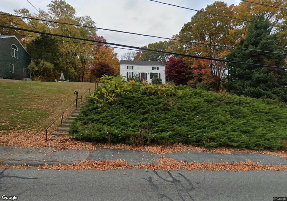
48 Old Charter Rd Marlborough, MA 01752
Estimated Value: $587,000 - $622,000
4
Beds
2
Baths
1,620
Sq Ft
$371/Sq Ft
Est. Value
About This Home
This home is located at 48 Old Charter Rd, Marlborough, MA 01752 and is currently estimated at $601,415, approximately $371 per square foot. 48 Old Charter Rd is a home located in Middlesex County with nearby schools including Marlborough High School, New Covenant Christian School, and Glenhaven Academy - JRI School.
Ownership History
Date
Name
Owned For
Owner Type
Purchase Details
Closed on
Jun 21, 2006
Sold by
Senecal Patricia A and Senecal Paul D
Bought by
Senecal Patricia A
Current Estimated Value
Create a Home Valuation Report for This Property
The Home Valuation Report is an in-depth analysis detailing your home's value as well as a comparison with similar homes in the area
Home Values in the Area
Average Home Value in this Area
Purchase History
| Date | Buyer | Sale Price | Title Company |
|---|---|---|---|
| Senecal Patricia A | -- | -- |
Source: Public Records
Tax History Compared to Growth
Tax History
| Year | Tax Paid | Tax Assessment Tax Assessment Total Assessment is a certain percentage of the fair market value that is determined by local assessors to be the total taxable value of land and additions on the property. | Land | Improvement |
|---|---|---|---|---|
| 2025 | $5,043 | $511,500 | $227,900 | $283,600 |
| 2024 | $4,803 | $469,000 | $207,200 | $261,800 |
| 2023 | $5,053 | $437,900 | $177,700 | $260,200 |
| 2022 | $4,843 | $369,100 | $169,200 | $199,900 |
| 2021 | $13,029 | $345,400 | $141,100 | $204,300 |
| 2020 | $4,672 | $329,500 | $134,400 | $195,100 |
| 2019 | $4,566 | $324,500 | $131,700 | $192,800 |
| 2018 | $4,458 | $304,700 | $112,900 | $191,800 |
| 2017 | $4,296 | $280,400 | $110,400 | $170,000 |
| 2016 | $4,220 | $275,100 | $110,400 | $164,700 |
| 2015 | $4,269 | $270,900 | $112,800 | $158,100 |
Source: Public Records
Map
Nearby Homes
- 211 Stevens St
- 99 Kings Grant Rd
- 75 Lincoln St
- 24 Clinton St
- 16 Clinton St
- 18 Brimsmead St
- 93 E Main St
- 139 Lincoln St
- 25 Walnut St
- 315 Bolton St
- 38 Sawin St
- 82 Brimsmead St
- 24 Bolton St
- 132 Prospect St
- 4 Quinn Rd
- 110 Prospect St
- 37 Hosmer St Unit 20
- 37 Hosmer St Unit 10
- 240 Lincoln St
- Lot 1 Quinn Rd
- 8 Kings Grant Rd
- 42 Old Charter Rd
- 47 Old Charter Rd
- 16 Kings Grant Rd
- 39 Old Charter Rd
- 64 Old Charter Rd
- 67 Old Charter Rd
- 34 Old Charter Rd
- 11 Kings Grant Rd
- 24 Kings Grant Rd
- 70 Old Charter Rd
- 19 Kings Grant Rd
- 29 Old Charter Rd
- 77 Old Charter Rd
- 26 Old Charter Rd
- 19 Old Charter Rd
- 169 Clinton St
- 159 Stevens St
- 87 Old Charter Rd
- 18 Old Charter Rd