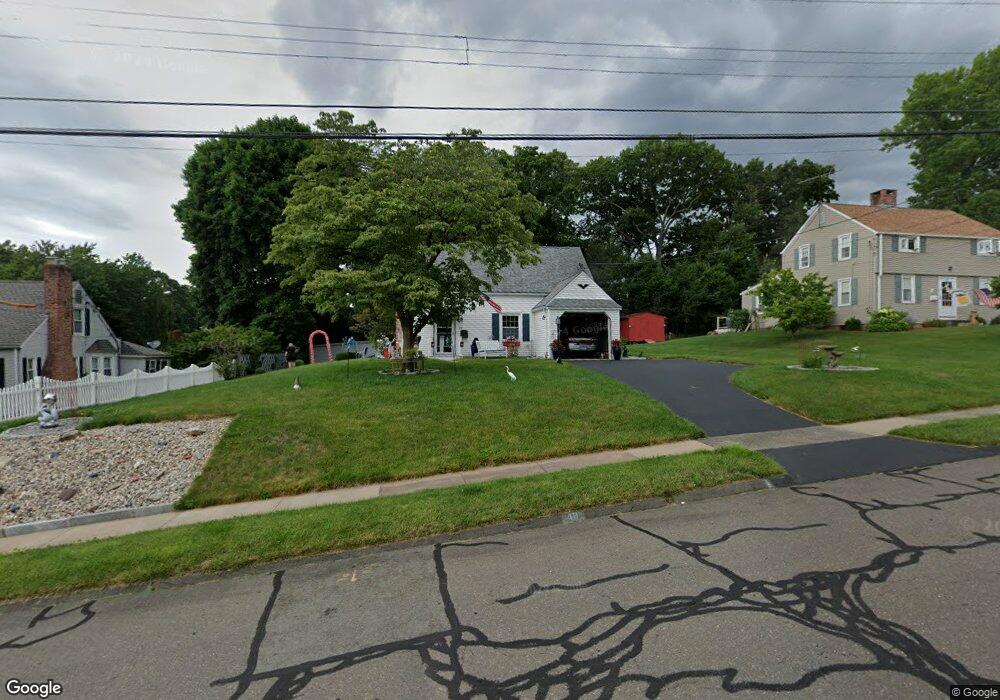
48 Onlook Rd Wethersfield, CT 06109
Estimated Value: $303,000 - $346,732
3
Beds
1
Bath
946
Sq Ft
$349/Sq Ft
Est. Value
About This Home
This home is located at 48 Onlook Rd, Wethersfield, CT 06109 and is currently estimated at $329,683, approximately $348 per square foot. 48 Onlook Rd is a home located in Hartford County with nearby schools including Emerson-Williams School, Silas Deane Middle School, and Wethersfield High School.
Ownership History
Date
Name
Owned For
Owner Type
Purchase Details
Closed on
Jul 14, 1995
Sold by
Francis David L and Francis Caroline B
Bought by
Durkee Betty Jo and Lautiegne Mark A
Current Estimated Value
Home Financials for this Owner
Home Financials are based on the most recent Mortgage that was taken out on this home.
Original Mortgage
$95,400
Interest Rate
7.7%
Mortgage Type
Unknown
Purchase Details
Closed on
Oct 21, 1988
Sold by
Blake Florence K
Bought by
Francis David L
Create a Home Valuation Report for This Property
The Home Valuation Report is an in-depth analysis detailing your home's value as well as a comparison with similar homes in the area
Home Values in the Area
Average Home Value in this Area
Purchase History
| Date | Buyer | Sale Price | Title Company |
|---|---|---|---|
| Durkee Betty Jo | $106,000 | -- | |
| Francis David L | $152,000 | -- |
Source: Public Records
Mortgage History
| Date | Status | Borrower | Loan Amount |
|---|---|---|---|
| Open | Francis David L | $51,000 | |
| Closed | Francis David L | $80,000 | |
| Closed | Francis David L | $95,400 | |
| Previous Owner | Francis David L | $106,400 |
Source: Public Records
Tax History
| Year | Tax Paid | Tax Assessment Tax Assessment Total Assessment is a certain percentage of the fair market value that is determined by local assessors to be the total taxable value of land and additions on the property. | Land | Improvement |
|---|---|---|---|---|
| 2025 | $8,692 | $210,860 | $98,000 | $112,860 |
| 2024 | $5,941 | $137,470 | $81,190 | $56,280 |
| 2023 | $5,743 | $137,470 | $81,190 | $56,280 |
| 2022 | $5,647 | $137,470 | $81,190 | $56,280 |
| 2021 | $5,591 | $137,470 | $81,190 | $56,280 |
| 2020 | $5,594 | $137,470 | $81,190 | $56,280 |
| 2019 | $5,601 | $137,470 | $81,190 | $56,280 |
| 2018 | $5,440 | $133,400 | $70,700 | $62,700 |
| 2017 | $5,305 | $133,400 | $70,700 | $62,700 |
| 2016 | $5,141 | $133,400 | $70,700 | $62,700 |
| 2015 | $5,095 | $133,400 | $70,700 | $62,700 |
| 2014 | $4,901 | $133,400 | $70,700 | $62,700 |
Source: Public Records
Map
Nearby Homes
- 20 Forest Dr
- 47 Forest Dr
- 273 Forest Dr
- 173 Timber Trail
- 72 Concord Cir
- 116 Wells Farm Dr
- 104 Willow St
- 97 Brussels Ave
- 19 Albert Ave
- 7 Barrington Dr Unit C
- 1310 Berlin Turnpike Unit 223
- 455 Brimfield Rd
- 137 Dale Rd
- 89 Merriman Rd
- 90 Goodwin Park Rd
- 219 Jordan Ln Unit 221
- 38 Wheeler Rd
- 87 Somerset St
- 12 Bates Place
- 91 Somerset St
Your Personal Tour Guide
Ask me questions while you tour the home.