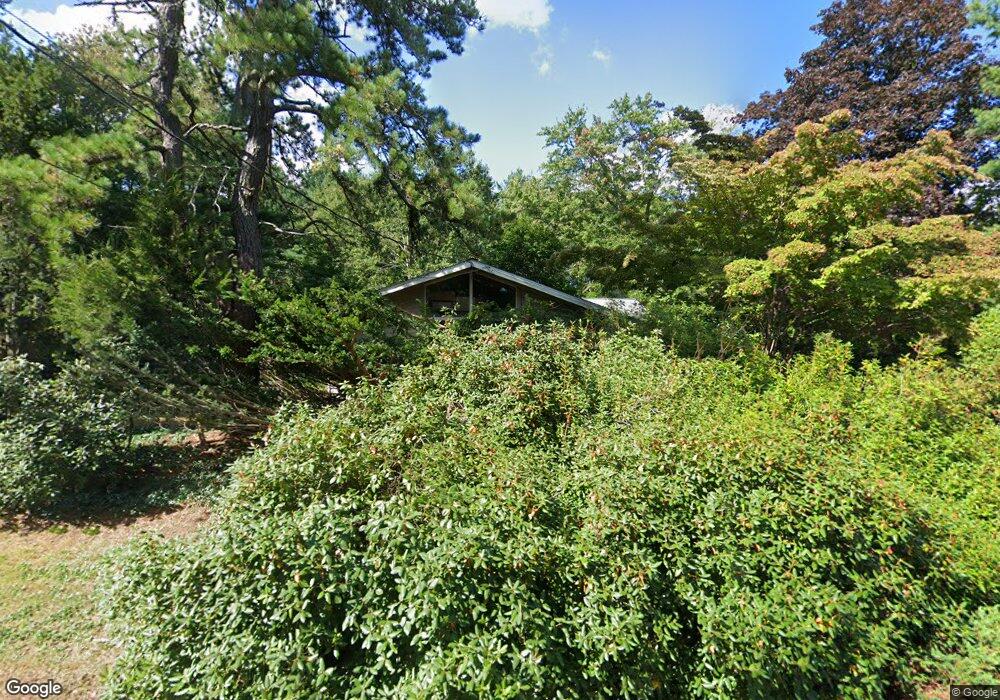
48 Oxbow Rd Concord, MA 01742
Estimated Value: $1,048,000 - $1,274,000
3
Beds
2
Baths
1,407
Sq Ft
$826/Sq Ft
Est. Value
About This Home
This home is located at 48 Oxbow Rd, Concord, MA 01742 and is currently estimated at $1,161,505, approximately $825 per square foot. 48 Oxbow Rd is a home located in Middlesex County with nearby schools including Willard School, Concord Middle School, and The Fenn School.
Ownership History
Date
Name
Owned For
Owner Type
Purchase Details
Closed on
Aug 27, 1997
Sold by
Joyce Mary K and Kicilinski David P
Bought by
Glover Stephan and Grande Stephen E
Current Estimated Value
Purchase Details
Closed on
Mar 15, 1996
Sold by
Stevenson Arthur L and Stevenson Margaret
Bought by
Levitt Peggy J and Levers Robert B
Home Financials for this Owner
Home Financials are based on the most recent Mortgage that was taken out on this home.
Original Mortgage
$207,000
Interest Rate
6.97%
Mortgage Type
Purchase Money Mortgage
Create a Home Valuation Report for This Property
The Home Valuation Report is an in-depth analysis detailing your home's value as well as a comparison with similar homes in the area
Home Values in the Area
Average Home Value in this Area
Purchase History
| Date | Buyer | Sale Price | Title Company |
|---|---|---|---|
| Glover Stephan | $900,000 | -- | |
| Levitt Peggy J | $307,500 | -- |
Source: Public Records
Mortgage History
| Date | Status | Borrower | Loan Amount |
|---|---|---|---|
| Open | Levitt Peggy J | $160,955 | |
| Previous Owner | Levitt Peggy J | $207,000 |
Source: Public Records
Tax History Compared to Growth
Tax History
| Year | Tax Paid | Tax Assessment Tax Assessment Total Assessment is a certain percentage of the fair market value that is determined by local assessors to be the total taxable value of land and additions on the property. | Land | Improvement |
|---|---|---|---|---|
| 2025 | $136 | $1,027,400 | $633,100 | $394,300 |
| 2024 | $13,276 | $1,011,100 | $633,100 | $378,000 |
| 2023 | $12,484 | $963,300 | $595,400 | $367,900 |
| 2022 | $11,711 | $793,400 | $476,200 | $317,200 |
| 2021 | $9,951 | $676,000 | $407,400 | $268,600 |
| 2020 | $10,044 | $705,800 | $407,400 | $298,400 |
| 2019 | $9,401 | $662,500 | $395,700 | $266,800 |
| 2018 | $9,336 | $653,300 | $396,400 | $256,900 |
| 2017 | $9,178 | $652,300 | $377,600 | $274,700 |
| 2016 | $8,629 | $619,900 | $377,600 | $242,300 |
| 2015 | $8,155 | $570,700 | $349,600 | $221,100 |
Source: Public Records
Map
Nearby Homes
- 497 Old Road to 9 Acre Corner
- 37 Wolf Pine Way
- 40 Rookery Ln Unit 5
- 72 Rookery Ln Unit 3
- 236 Fairhaven Rd
- 56 Rookery Ln Unit 4
- 24 Rookery Ln Unit 6
- 121 White Pond Way Unit 121
- 401 Emery Ln Unit 104
- 401 Emery Ln Unit 304
- 12 S Meadow Ridge Unit 12
- 12 S Meadow Ridge
- 84 Bruce Rd
- 182 Southfield Rd
- 232 Sudbury Rd
- 49 Birchwood Ln Unit 49
- 114 Upland Rd
- 602 Main St
- 1053 Main St
- 24 Concord Greene Unit 7