Estimated Value: $346,000 - $416,000
2
Beds
2
Baths
1,024
Sq Ft
$372/Sq Ft
Est. Value
About This Home
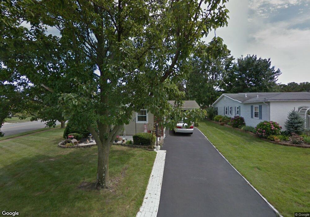
This home is located at 48 Patmore Rd, Brick, NJ 08724 and is currently estimated at $381,214, approximately $372 per square foot. 48 Patmore Rd is a home located in Ocean County with nearby schools including Lanes Mill Elementary School, Veterans Memorial Middle School, and Brick Township Memorial High School.
Ownership History
Date
Name
Owned For
Owner Type
Purchase Details
Closed on
Dec 1, 2006
Sold by
Petrucci Pasquale
Bought by
Ponticello Ralph and Ponticello Barbara
Current Estimated Value
Purchase Details
Closed on
Mar 24, 2006
Sold by
Natale Mary and Melio Anthony
Bought by
Petrucci Pasquale
Home Financials for this Owner
Home Financials are based on the most recent Mortgage that was taken out on this home.
Original Mortgage
$164,350
Interest Rate
7.62%
Mortgage Type
Fannie Mae Freddie Mac
Purchase Details
Closed on
Jan 20, 1997
Sold by
Wolen David Henry
Bought by
Melio Anthony
Home Financials for this Owner
Home Financials are based on the most recent Mortgage that was taken out on this home.
Original Mortgage
$51,000
Interest Rate
7.5%
Create a Home Valuation Report for This Property
The Home Valuation Report is an in-depth analysis detailing your home's value as well as a comparison with similar homes in the area
Home Values in the Area
Average Home Value in this Area
Purchase History
| Date | Buyer | Sale Price | Title Company |
|---|---|---|---|
| Ponticello Ralph | $252,000 | None Available | |
| Petrucci Pasquale | $173,000 | St George Title Agency Inc | |
| Melio Anthony | $66,000 | -- |
Source: Public Records
Mortgage History
| Date | Status | Borrower | Loan Amount |
|---|---|---|---|
| Previous Owner | Petrucci Pasquale | $164,350 | |
| Previous Owner | Melio Anthony | $51,000 |
Source: Public Records
Tax History Compared to Growth
Tax History
| Year | Tax Paid | Tax Assessment Tax Assessment Total Assessment is a certain percentage of the fair market value that is determined by local assessors to be the total taxable value of land and additions on the property. | Land | Improvement |
|---|---|---|---|---|
| 2025 | $2,707 | $103,700 | $40,000 | $63,700 |
| 2024 | $2,569 | $103,700 | $40,000 | $63,700 |
| 2023 | $2,531 | $103,700 | $40,000 | $63,700 |
| 2022 | $2,531 | $103,700 | $40,000 | $63,700 |
| 2021 | $2,478 | $103,700 | $40,000 | $63,700 |
| 2020 | $2,446 | $103,700 | $40,000 | $63,700 |
| 2019 | $2,403 | $103,700 | $40,000 | $63,700 |
| 2018 | $2,348 | $103,700 | $40,000 | $63,700 |
| 2017 | $2,285 | $103,700 | $40,000 | $63,700 |
| 2016 | $2,272 | $103,700 | $40,000 | $63,700 |
| 2015 | $2,213 | $103,700 | $40,000 | $63,700 |
| 2014 | $2,194 | $103,700 | $40,000 | $63,700 |
Source: Public Records
Map
Nearby Homes
- 213 Blake Cir
- 40 Patmore Rd
- 10 Kingsley Ct
- 7 Robinson Rd
- 1728 Burrsville Rd
- 56 Darley Cir
- 8 Constable St
- 1658 Burrsville Rd
- 1624 Patriot Ave
- 1430 Forest Ave
- 1759 Burrsville Rd
- 1412 Forest Ave
- 41 Central Blvd
- 6 Hardy Ct
- 65 Central Blvd
- 60 Central Blvd
- 5 Gray Ln
- 10 Arnold St
- 38 Watkins Rd
- 802 Sandra Place