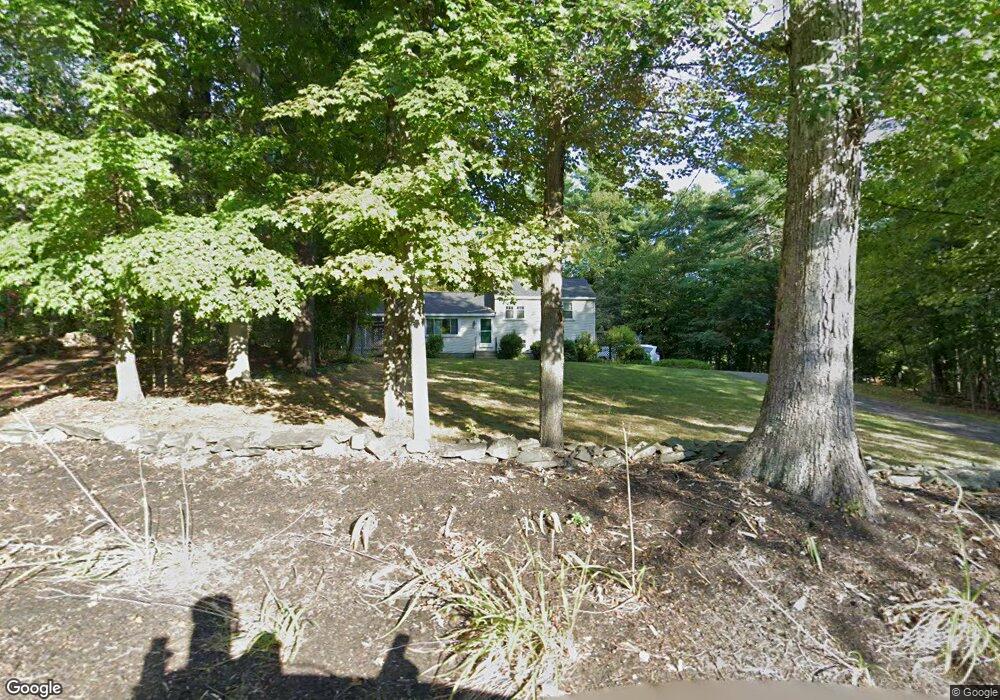
48 Pepperell Rd Groton, MA 01450
Estimated Value: $540,000 - $662,000
3
Beds
2
Baths
1,118
Sq Ft
$519/Sq Ft
Est. Value
About This Home
This home is located at 48 Pepperell Rd, Groton, MA 01450 and is currently estimated at $579,788, approximately $518 per square foot. 48 Pepperell Rd is a home located in Middlesex County with nearby schools including Groton Dunstable Regional High School, Groton Community School, and Seven Hills At Groton.
Ownership History
Date
Name
Owned For
Owner Type
Purchase Details
Closed on
Aug 4, 1995
Sold by
Miller James C and Miller Maria
Bought by
Cail James K and Cail Dale E
Current Estimated Value
Home Financials for this Owner
Home Financials are based on the most recent Mortgage that was taken out on this home.
Original Mortgage
$147,250
Interest Rate
7.48%
Mortgage Type
Purchase Money Mortgage
Create a Home Valuation Report for This Property
The Home Valuation Report is an in-depth analysis detailing your home's value as well as a comparison with similar homes in the area
Home Values in the Area
Average Home Value in this Area
Purchase History
| Date | Buyer | Sale Price | Title Company |
|---|---|---|---|
| Cail James K | $155,000 | -- | |
| Cail James K | $155,000 | -- |
Source: Public Records
Mortgage History
| Date | Status | Borrower | Loan Amount |
|---|---|---|---|
| Open | Cail James K | $239,723 | |
| Closed | Cail James K | $143,000 | |
| Closed | Cail James K | $147,250 |
Source: Public Records
Tax History
| Year | Tax Paid | Tax Assessment Tax Assessment Total Assessment is a certain percentage of the fair market value that is determined by local assessors to be the total taxable value of land and additions on the property. | Land | Improvement |
|---|---|---|---|---|
| 2025 | $6,802 | $446,000 | $206,100 | $239,900 |
| 2024 | $6,448 | $427,300 | $206,100 | $221,200 |
| 2023 | $6,344 | $405,600 | $206,100 | $199,500 |
| 2022 | $5,800 | $337,400 | $177,100 | $160,300 |
| 2021 | $5,623 | $319,500 | $170,700 | $148,800 |
| 2020 | $5,082 | $292,400 | $169,000 | $123,400 |
| 2019 | $4,955 | $273,600 | $167,300 | $106,300 |
| 2018 | $4,865 | $260,600 | $163,800 | $96,800 |
| 2017 | $4,848 | $265,500 | $162,100 | $103,400 |
| 2016 | $4,907 | $261,300 | $157,000 | $104,300 |
| 2015 | $4,774 | $261,300 | $157,000 | $104,300 |
Source: Public Records
Map
Nearby Homes
- 26 Bradley Dr Unit D
- 8 Bradley Dr Unit A
- 44 Squannacook Rd
- 15 Hayes Woods Ln
- 92 Squannacook Rd
- Lot 3 Maple Ave
- 111 Squannacook Rd
- 26 Bluebird Ln
- 43 Longley Rd
- 105 Townsend Rd Unit 1
- 53 Throne Hill Rd
- 24 Townsend Rd
- 17 Longley Rd
- 22 Townsend Rd
- 9 Spaulding Rd
- Lot 5 Townsend Rd
- 104 Mill St
- 21 Magnolia Ln
- 519 Main St Unit D
- 44 Nod Rd
- 56 Pepperell Rd
- 40 Pepperell Rd
- 55 Pepperell Rd
- 42 Pepperell Rd
- 51 Pepperell Rd
- 32 St James Ave
- 70 Pepperell Rd
- 39 Pepperell Rd
- Lot 3 Pepperell Rd
- 32 Pepperell Rd
- 20 Fox Run
- 73 Pepperell Rd Unit B
- 73 Pepperell Rd
- 16 Fox Run
- 78 Pepperell Rd
- 25 Pepperell Rd
- 22 Townsend Rd
- 48 Townsend Rd
- 40 Townsend Rd
- 70A Legacy Way
Your Personal Tour Guide
Ask me questions while you tour the home.