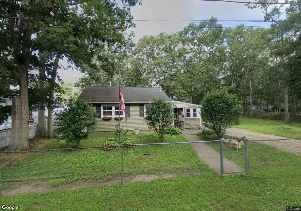
48 Pine Rd Millville, NJ 08332
Estimated Value: $166,000 - $206,000
Studio
--
Bath
864
Sq Ft
$225/Sq Ft
Est. Value
About This Home
This home is located at 48 Pine Rd, Millville, NJ 08332 and is currently estimated at $194,080, approximately $224 per square foot. 48 Pine Rd is a home located in Cumberland County with nearby schools including Silver Run Elementary School, Lakeside Middle School, and Memorial High School.
Ownership History
Date
Name
Owned For
Owner Type
Purchase Details
Closed on
Apr 29, 2005
Sold by
Larmour Richard B
Bought by
Turner Michael A
Current Estimated Value
Home Financials for this Owner
Home Financials are based on the most recent Mortgage that was taken out on this home.
Original Mortgage
$87,300
Outstanding Balance
$46,131
Interest Rate
6.05%
Estimated Equity
$147,949
Purchase Details
Closed on
Mar 19, 2001
Sold by
Federal Housing Administration
Bought by
Larmour Richard B and Larmour Margaret
Purchase Details
Closed on
Apr 29, 1996
Sold by
Huntley Jean E and Stites Sylvia H
Bought by
Parsons Jeffrey K and Parsons Lynette
Home Financials for this Owner
Home Financials are based on the most recent Mortgage that was taken out on this home.
Original Mortgage
$48,057
Interest Rate
7.82%
Mortgage Type
FHA
Create a Home Valuation Report for This Property
The Home Valuation Report is an in-depth analysis detailing your home's value as well as a comparison with similar homes in the area
Home Values in the Area
Average Home Value in this Area
Purchase History
| Date | Buyer | Sale Price | Title Company |
|---|---|---|---|
| Turner Michael A | $97,000 | -- | |
| Larmour Richard B | $42,011 | -- | |
| Larmour Richard B | $42,011 | -- | |
| Parsons Jeffrey K | $48,000 | Beacon Title Services Agency |
Source: Public Records
Mortgage History
| Date | Status | Borrower | Loan Amount |
|---|---|---|---|
| Open | Turner Michael A | $87,300 | |
| Previous Owner | Parsons Jeffrey K | $48,057 |
Source: Public Records
Tax History
| Year | Tax Paid | Tax Assessment Tax Assessment Total Assessment is a certain percentage of the fair market value that is determined by local assessors to be the total taxable value of land and additions on the property. | Land | Improvement |
|---|---|---|---|---|
| 2025 | $2,795 | $71,200 | $13,000 | $58,200 |
| 2024 | $2,795 | $71,200 | $13,000 | $58,200 |
| 2023 | $2,771 | $71,200 | $13,000 | $58,200 |
| 2022 | $2,699 | $71,200 | $13,000 | $58,200 |
| 2021 | $2,410 | $71,200 | $13,000 | $58,200 |
| 2020 | $2,568 | $71,200 | $13,000 | $58,200 |
| 2019 | $2,449 | $71,200 | $13,000 | $58,200 |
| 2018 | $2,399 | $71,200 | $13,000 | $58,200 |
| 2017 | $2,377 | $71,200 | $13,000 | $58,200 |
| 2016 | $2,347 | $71,200 | $13,000 | $58,200 |
| 2015 | $2,294 | $71,200 | $13,000 | $58,200 |
| 2014 | $2,298 | $71,200 | $13,000 | $58,200 |
Source: Public Records
Map
Nearby Homes
- 200 W Buckshutem Rd
- 711 Woodland Dr
- 16 E Buckshutem & 16 Juniper Rd
- 701 Uranus Rd
- 36 Walnut Rd
- 117 Main Dr
- 51 River Dr
- 118 Canary Rd
- 138 Jute Rd
- 252 Lake Shore Dr
- 6207 Battle Ln
- 6811 Battle Ln
- 229 Iris Rd
- 12 Pleasantview Dr
- 6210 Magnolia Dr
- 122 Mist Rd
- 4911 Battle Ln
- 336 Jute Rd
- 345 Jute Rd
- 334 Opal Rd
Your Personal Tour Guide
Ask me questions while you tour the home.