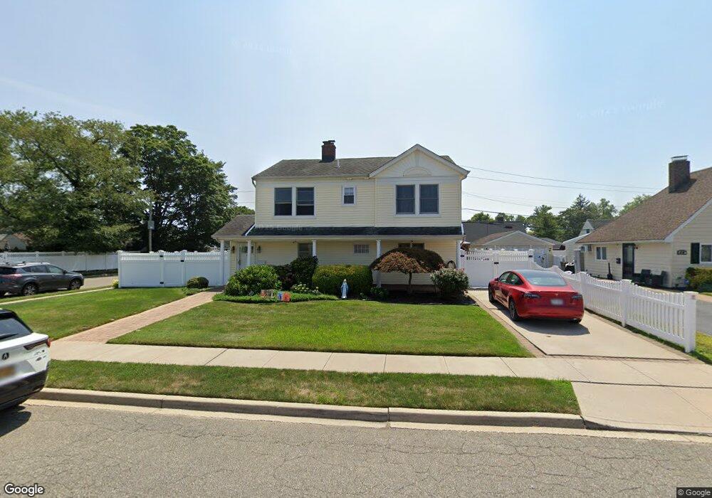
48 Polaris Dr Levittown, NY 11756
Estimated Value: $768,000 - $874,657
6
Beds
2
Baths
1,464
Sq Ft
$561/Sq Ft
Est. Value
About This Home
This home is located at 48 Polaris Dr, Levittown, NY 11756 and is currently estimated at $821,329, approximately $561 per square foot. 48 Polaris Dr is a home located in Nassau County with nearby schools including J Fred Sparke Elementary School, Michael F. Stokes Elementary School, and Island Trees Middle School.
Ownership History
Date
Name
Owned For
Owner Type
Purchase Details
Closed on
Sep 3, 2021
Sold by
Filipelli Debra
Bought by
Moussa Wasfi and Barsoum Rania
Current Estimated Value
Home Financials for this Owner
Home Financials are based on the most recent Mortgage that was taken out on this home.
Original Mortgage
$543,200
Outstanding Balance
$494,272
Interest Rate
2.8%
Mortgage Type
New Conventional
Estimated Equity
$327,057
Purchase Details
Closed on
Aug 9, 2004
Sold by
Sweezey Lucy
Bought by
Filipelli Debra
Create a Home Valuation Report for This Property
The Home Valuation Report is an in-depth analysis detailing your home's value as well as a comparison with similar homes in the area
Home Values in the Area
Average Home Value in this Area
Purchase History
| Date | Buyer | Sale Price | Title Company |
|---|---|---|---|
| Moussa Wasfi | $679,000 | None Available | |
| Filipelli Debra | $300,000 | -- |
Source: Public Records
Mortgage History
| Date | Status | Borrower | Loan Amount |
|---|---|---|---|
| Open | Moussa Wasfi | $543,200 |
Source: Public Records
Tax History Compared to Growth
Tax History
| Year | Tax Paid | Tax Assessment Tax Assessment Total Assessment is a certain percentage of the fair market value that is determined by local assessors to be the total taxable value of land and additions on the property. | Land | Improvement |
|---|---|---|---|---|
| 2025 | $9,556 | $391 | $218 | $173 |
| 2024 | $3,428 | $410 | $229 | $181 |
| 2023 | $10,080 | $410 | $229 | $181 |
| 2022 | $10,080 | $410 | $229 | $181 |
| 2021 | $12,075 | $409 | $229 | $180 |
| 2020 | $10,007 | $668 | $545 | $123 |
| 2019 | $3,687 | $668 | $545 | $123 |
| 2018 | $5,762 | $668 | $0 | $0 |
| 2017 | $4,993 | $668 | $463 | $205 |
| 2016 | $8,385 | $668 | $463 | $205 |
| 2015 | $3,681 | $786 | $545 | $241 |
| 2014 | $3,681 | $786 | $545 | $241 |
| 2013 | $3,385 | $786 | $545 | $241 |
Source: Public Records
Map
Nearby Homes
- 79 Constellation Rd
- 41 Meridian Rd
- 34 Marksman Ln
- 48 Bloomingdale Rd
- 37 Marksman Ln
- 12 Meridian Rd
- 6 Mason Ct
- 142 Blacksmith Rd E
- 1 Mason Ct
- 17 Trumpet Ln
- 4 Wagon Ln
- 8 Trumpet Ln
- 111 Blacksmith Rd E
- 125 Meridian Rd
- 94 Mallard Rd
- 3 Snapdragon Ln
- 7 Lowland Rd
- 3520 Mallard Rd
- 22 Lowland Rd
- 190 Meridian Rd
- 44 Polaris Dr
- 43 Constellation Rd
- 54 Polaris Dr
- 41 Constellation Rd
- 40 Polaris Dr
- 49 Constellation Rd
- 37 Constellation Rd
- 38 Polaris Dr
- 56 Polaris Dr
- 53 Constellation Rd
- 35 Constellation Rd
- 34 Polaris Dr
- 60 Polaris Dr
- 1 Astronomy Ln
- 55 Constellation Rd
- 31 Constellation Rd
- 44 Constellation Rd
- 48 Constellation Rd
- 50 Constellation Rd
- 32 Polaris Dr