48 Pulpit Rock Rd Oak Bluffs, MA 02557
Oak Bluffs NeighborhoodEstimated Value: $2,435,000 - $3,066,000
3
Beds
3
Baths
2,113
Sq Ft
$1,304/Sq Ft
Est. Value
About This Home
This home is located at 48 Pulpit Rock Rd, Oak Bluffs, MA 02557 and is currently estimated at $2,755,436, approximately $1,304 per square foot. 48 Pulpit Rock Rd is a home with nearby schools including Oak Bluffs Elementary School and Martha's Vineyard Regional High School.
Ownership History
Date
Name
Owned For
Owner Type
Purchase Details
Closed on
Dec 31, 2018
Sold by
Cory & John Pollack Ret
Bought by
Cooper-Kreideweis Alison and Cooper Michele
Current Estimated Value
Purchase Details
Closed on
Dec 29, 2018
Sold by
Ilse Grunwald 2002 T
Bought by
Cory & John Pollack Ret
Purchase Details
Closed on
Apr 7, 2004
Sold by
Grunwald Ft
Bought by
Pollack Corrine G and Cooper Deborah J
Purchase Details
Closed on
Sep 25, 1998
Sold by
Morgan William R and Morgan Kathleen T
Bought by
Grunwald Family Prn Lp
Create a Home Valuation Report for This Property
The Home Valuation Report is an in-depth analysis detailing your home's value as well as a comparison with similar homes in the area
Home Values in the Area
Average Home Value in this Area
Purchase History
| Date | Buyer | Sale Price | Title Company |
|---|---|---|---|
| Cooper-Kreideweis Alison | -- | -- | |
| Cooper-Kreideweis Alison | -- | -- | |
| Cory & John Pollack Ret | -- | -- | |
| Pollack Corrine G | -- | -- | |
| Grunwald Family Prn Lp | $1,200,000 | -- |
Source: Public Records
Tax History Compared to Growth
Tax History
| Year | Tax Paid | Tax Assessment Tax Assessment Total Assessment is a certain percentage of the fair market value that is determined by local assessors to be the total taxable value of land and additions on the property. | Land | Improvement |
|---|---|---|---|---|
| 2025 | $15,759 | $3,120,500 | $2,285,400 | $835,100 |
| 2024 | $15,436 | $2,951,400 | $2,077,000 | $874,400 |
| 2023 | $15,308 | $2,899,200 | $2,018,100 | $881,100 |
| 2022 | $14,573 | $2,146,200 | $1,501,700 | $644,500 |
| 2021 | $13,674 | $1,855,300 | $1,325,200 | $530,100 |
| 2020 | $13,047 | $1,753,600 | $1,262,100 | $491,500 |
| 2019 | $12,962 | $1,685,600 | $1,202,900 | $482,700 |
| 2018 | $13,132 | $1,677,100 | $1,190,300 | $486,800 |
| 2017 | $12,640 | $1,550,900 | $1,116,500 | $434,400 |
| 2016 | $12,339 | $1,521,400 | $1,151,000 | $370,400 |
| 2015 | $11,890 | $1,493,700 | $1,151,000 | $342,700 |
| 2014 | $11,996 | $1,536,000 | $1,186,400 | $349,600 |
Source: Public Records
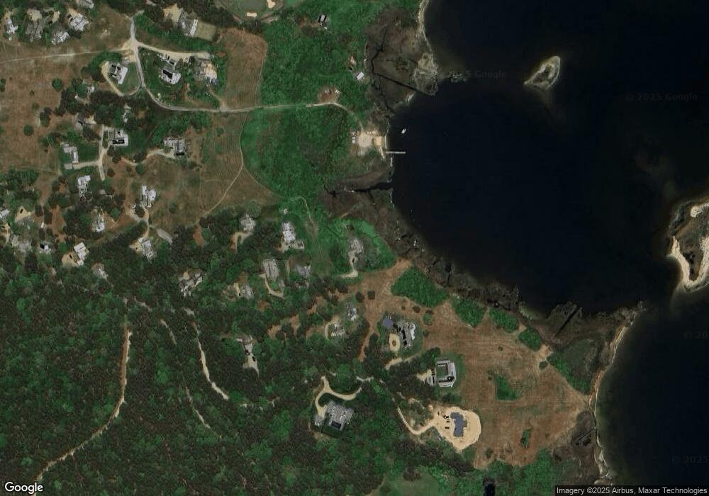
Map
Nearby Homes
- 7 Overview Ln Unit 47
- 7 Overview Ln
- 15 Tamarack Ln
- 30 Sengekontacket Rd
- 10 Wood Duck Way
- 8 Fresh Pond Rd
- 7 S Meadow Ln
- 8 Paddock Rd
- 7 Upper Meadow Ln
- 5 Seth's Path
- 1 Jessie Leigh Mitchell Way
- 4 High Meadow Ln
- 22 Paddock Rd Unit 85
- 63 Bayes Hill Rd
- 21 Island Inn Rd Unit 39G
- 2 Hope's Way Unit 31
- 2 Hope's Way
- 28 Barling Ave
- 0 Pennsylvania Ave Unit 43914
- 37 Double Ox Rd
- 42R Pulpit Rock Rd
- 42 Pulpit Rock Rd
- 40 Pulpit Rock Rd
- 40 Pulpit Rock Rd
- 20 Brush Island Ln
- 36 Pulpit Rock Rd
- 36R Pulpit Rock Rd
- 0 Brush Island Way
- 14 Brush Island Way
- 14 Brush Island Ln
- 16 Brush Island Ln
- 24 Brush Island Ln
- 27 Brush Island Way
- 53 Katies Way
- 27 Brush Island Ln
- 7, 19, Off Harbor Ln
- 51 Katies Way
- 23 Old Harbor Ln
- 6 Harbor Ln
- 6 Old Harbor Ln