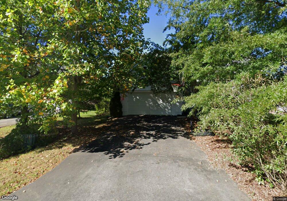
48 Rams Ct Shepherdstown, WV 25443
Estimated Value: $429,000 - $446,405
4
Beds
3
Baths
2,417
Sq Ft
$182/Sq Ft
Est. Value
About This Home
This home is located at 48 Rams Ct, Shepherdstown, WV 25443 and is currently estimated at $439,351, approximately $181 per square foot. 48 Rams Ct is a home located in Jefferson County with nearby schools including Shepherdstown Elementary School, Shepherdstown Middle School, and Jefferson High School.
Ownership History
Date
Name
Owned For
Owner Type
Purchase Details
Closed on
Apr 29, 2005
Sold by
Nvr Inc
Bought by
Knutson Eric and Knutson Kelly Ashton
Current Estimated Value
Home Financials for this Owner
Home Financials are based on the most recent Mortgage that was taken out on this home.
Original Mortgage
$267,000
Outstanding Balance
$200,737
Interest Rate
5.87%
Mortgage Type
Adjustable Rate Mortgage/ARM
Estimated Equity
$238,614
Purchase Details
Closed on
Jan 21, 2005
Sold by
Thz Enterprises Llc
Bought by
Nvr Inc
Create a Home Valuation Report for This Property
The Home Valuation Report is an in-depth analysis detailing your home's value as well as a comparison with similar homes in the area
Home Values in the Area
Average Home Value in this Area
Purchase History
| Date | Buyer | Sale Price | Title Company |
|---|---|---|---|
| Knutson Eric | $336,110 | None Available | |
| Nvr Inc | $138,300 | None Available |
Source: Public Records
Mortgage History
| Date | Status | Borrower | Loan Amount |
|---|---|---|---|
| Open | Knutson Eric | $267,000 |
Source: Public Records
Tax History
| Year | Tax Paid | Tax Assessment Tax Assessment Total Assessment is a certain percentage of the fair market value that is determined by local assessors to be the total taxable value of land and additions on the property. | Land | Improvement |
|---|---|---|---|---|
| 2025 | $2,598 | $223,600 | $54,500 | $169,100 |
| 2024 | $2,458 | $210,000 | $54,500 | $155,500 |
| 2023 | $2,453 | $210,000 | $54,500 | $155,500 |
| 2022 | $2,108 | $176,900 | $39,700 | $137,200 |
| 2021 | $1,957 | $161,100 | $39,700 | $121,400 |
| 2020 | $1,849 | $162,500 | $39,700 | $122,800 |
| 2019 | $1,814 | $156,400 | $32,300 | $124,100 |
| 2018 | $1,802 | $153,400 | $32,300 | $121,100 |
| 2017 | $1,714 | $145,900 | $24,800 | $121,100 |
| 2016 | $1,725 | $147,300 | $24,800 | $122,500 |
| 2015 | $1,644 | $139,600 | $24,800 | $114,800 |
| 2014 | $1,656 | $140,900 | $24,800 | $116,100 |
Source: Public Records
Map
Nearby Homes
- 99 Exeter Ct
- 7765 Martinsburg Pike
- 0 Maddex Dr
- 347 Maddex Dr
- LOt 9 Shepherds Cove Swift River Way
- 8285 Martinsburg Pike
- Lot 3 Martinsburg Pike
- Lot 2 Martinsburg Pike
- 19 Cardinal Dr
- 136 Woodcock Ave
- 286 Starkeys Landing
- 207 W High St
- 203 W New St
- Unnumbered Lot Ledge Shepherd Ln
- 108 Open Gate Ln
- 200 Meadow Ridge Dr
- 95 Riderwood Way
- 224 Spring Warbler Way
- 126 Riderwood Way
- 18 Riderwood Way
Your Personal Tour Guide
Ask me questions while you tour the home.