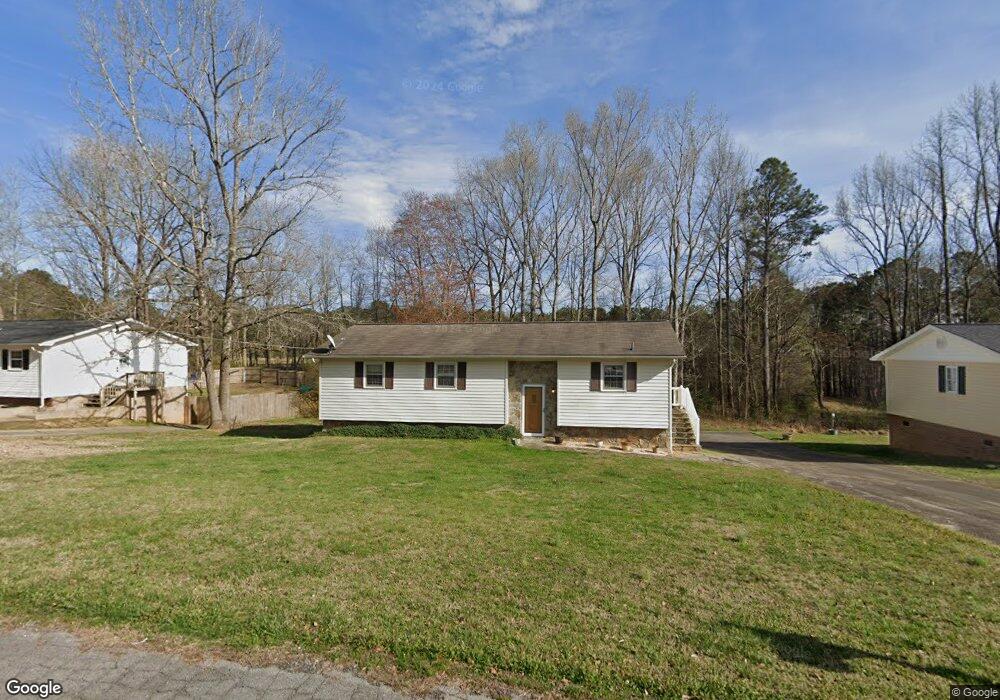
48 Renee Dr Tallapoosa, GA 30176
Estimated Value: $191,041 - $217,000
2
Beds
1
Bath
1,189
Sq Ft
$176/Sq Ft
Est. Value
About This Home
This home is located at 48 Renee Dr, Tallapoosa, GA 30176 and is currently estimated at $209,760, approximately $176 per square foot. 48 Renee Dr is a home located in Haralson County with nearby schools including Haralson County High School.
Ownership History
Date
Name
Owned For
Owner Type
Purchase Details
Closed on
Aug 10, 1995
Sold by
Clayton Michael N
Bought by
Clayton M Diane
Current Estimated Value
Purchase Details
Closed on
Aug 6, 1992
Sold by
Clayton N C Vera
Bought by
Clayton Michael N
Purchase Details
Closed on
Apr 8, 1986
Sold by
California Federal
Bought by
Clayton N C Vera
Purchase Details
Closed on
Nov 8, 1985
Sold by
Clayton Barry N
Bought by
California Federal
Purchase Details
Closed on
Oct 6, 1977
Sold by
Clayton N C
Bought by
Clayton Barry N
Create a Home Valuation Report for This Property
The Home Valuation Report is an in-depth analysis detailing your home's value as well as a comparison with similar homes in the area
Home Values in the Area
Average Home Value in this Area
Purchase History
| Date | Buyer | Sale Price | Title Company |
|---|---|---|---|
| Clayton M Diane | -- | -- | |
| Clayton Michael N | -- | -- | |
| Clayton N C Vera | $23,500 | -- | |
| California Federal | -- | -- | |
| Clayton Barry N | -- | -- |
Source: Public Records
Tax History Compared to Growth
Tax History
| Year | Tax Paid | Tax Assessment Tax Assessment Total Assessment is a certain percentage of the fair market value that is determined by local assessors to be the total taxable value of land and additions on the property. | Land | Improvement |
|---|---|---|---|---|
| 2024 | $1,250 | $48,526 | $4,834 | $43,692 |
| 2023 | $371 | $42,541 | $4,560 | $37,981 |
| 2022 | $597 | $34,258 | $4,560 | $29,698 |
| 2021 | $522 | $30,472 | $4,560 | $25,912 |
| 2020 | $608 | $31,366 | $4,560 | $26,806 |
| 2019 | $607 | $30,476 | $4,560 | $25,916 |
| 2018 | $413 | $23,352 | $4,560 | $18,792 |
| 2017 | $405 | $21,727 | $4,560 | $17,167 |
| 2016 | $635 | $21,776 | $4,560 | $17,216 |
| 2015 | $634 | $21,651 | $4,560 | $17,091 |
| 2014 | $754 | $24,981 | $7,600 | $17,381 |
Source: Public Records
Map
Nearby Homes
- 28 McDonald Ridge
- 110 Dunson Rd
- 135 Oakland Ct
- 77 McDonald Rd
- 194 Faye St
- 174 Faye St
- 711 Kay St
- 622 Cedartown Ave
- 0 Creek Dr Unit 148038
- 0 Cherokee Dr Unit 148037
- 871 Cherokee Dr
- 0 Providence Lake Rd Unit 10576961
- 1304 Broad St
- 438 Bowdon St
- --- Steadman #32 Rd
- 0 Steadman Rd Unit 10608314
- 215 Steadman Rd
- 244 Monroe St
- 0 Georgia 120 Unit 7646686
- 0 Georgia 120 Unit 10600882