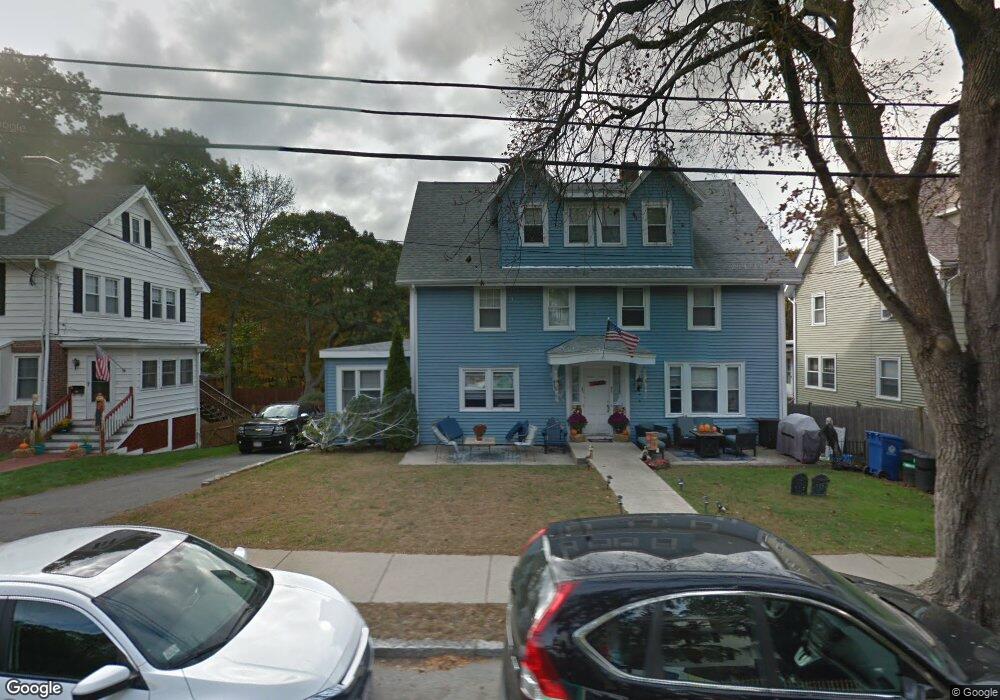
48 Renwick Rd Wakefield, MA 01880
Greenwood NeighborhoodEstimated Value: $624,000 - $664,000
5
Beds
1
Bath
2,338
Sq Ft
$276/Sq Ft
Est. Value
About This Home
This home is located at 48 Renwick Rd, Wakefield, MA 01880 and is currently estimated at $644,238, approximately $275 per square foot. 48 Renwick Rd is a home located in Middlesex County with nearby schools including Wakefield Memorial High School, Melrose Montessori School, and St Mary's School.
Ownership History
Date
Name
Owned For
Owner Type
Purchase Details
Closed on
Jul 8, 2011
Sold by
Wiltshire Jeffrey G and Wiltshire Elizabeth J
Bought by
Pare Michael S and Pare Kristen L
Current Estimated Value
Home Financials for this Owner
Home Financials are based on the most recent Mortgage that was taken out on this home.
Original Mortgage
$239,875
Outstanding Balance
$165,726
Interest Rate
4.6%
Mortgage Type
Purchase Money Mortgage
Estimated Equity
$478,512
Create a Home Valuation Report for This Property
The Home Valuation Report is an in-depth analysis detailing your home's value as well as a comparison with similar homes in the area
Home Values in the Area
Average Home Value in this Area
Purchase History
| Date | Buyer | Sale Price | Title Company |
|---|---|---|---|
| Pare Michael S | $252,500 | -- |
Source: Public Records
Mortgage History
| Date | Status | Borrower | Loan Amount |
|---|---|---|---|
| Open | Pare Michael S | $239,875 |
Source: Public Records
Tax History Compared to Growth
Tax History
| Year | Tax Paid | Tax Assessment Tax Assessment Total Assessment is a certain percentage of the fair market value that is determined by local assessors to be the total taxable value of land and additions on the property. | Land | Improvement |
|---|---|---|---|---|
| 2025 | $5,611 | $494,400 | $0 | $494,400 |
| 2024 | $5,302 | $471,300 | $0 | $471,300 |
| 2023 | $5,257 | $448,200 | $0 | $448,200 |
| 2022 | $4,709 | $382,200 | $0 | $382,200 |
| 2021 | $4,433 | $348,200 | $0 | $348,200 |
| 2020 | $4,447 | $348,200 | $0 | $348,200 |
| 2019 | $4,094 | $319,100 | $0 | $319,100 |
| 2018 | $3,691 | $285,000 | $0 | $285,000 |
| 2017 | $3,320 | $254,800 | $0 | $254,800 |
| 2016 | $3,197 | $237,000 | $0 | $237,000 |
| 2015 | $3,195 | $237,000 | $0 | $237,000 |
| 2014 | $2,913 | $227,900 | $0 | $227,900 |
Source: Public Records
Map
Nearby Homes
- 2 Overlook Rd
- 119 W Highland Ave Unit 1
- 569 Franklin St Unit 1
- 569 Franklin St Unit 3
- 27 Pratt St
- 24 Ellsworth Ave
- 81 Spring St
- 24 Myrtle Ave
- 1 Ludlow Ave
- 41 Orris St
- 51 Melrose St Unit 1C
- 19 Fellsmere Ave
- 3 Hickory Hill Rd Unit 1
- 22 Mount Zion Rd
- 128 Green St Unit 128
- 12 Lovis Ave
- 9 Lovis Ave
- 6 Lovis Ave
- 14 Dinanno Rd
- 61 Forest St
- 52 Renwick Rd
- 46 Renwick Rd
- 50 Renwick Rd Unit 52
- 50 Renwick Rd
- 47 Renwick Rd
- 42 Renwick Rd Unit 44
- 42 Renwick Rd
- 42 Renwick Rd Unit 1
- 54 Renwick Rd
- 49 Renwick Rd
- 56 Renwick Rd Unit 56A
- 45 Renwick Rd
- 38 Renwick Rd
- 58 Renwick Rd
- 10 Germano Dr
- 9 Germano Dr
- 182 Ashland St
- 19 Pine Ridge Rd
- 24 Pine Ridge Rd
- 37 Renwick Rd