48 River Ridge Rd S Dahlonega, GA 30533
Estimated Value: $951,000 - $966,555
--
Bed
5
Baths
6,365
Sq Ft
$151/Sq Ft
Est. Value
About This Home
This home is located at 48 River Ridge Rd S, Dahlonega, GA 30533 and is currently estimated at $958,778, approximately $150 per square foot. 48 River Ridge Rd S is a home located in Lumpkin County with nearby schools including Clay County Middle School and Lumpkin County High School.
Ownership History
Date
Name
Owned For
Owner Type
Purchase Details
Closed on
Jan 24, 2002
Sold by
Mccurdy Raymond M
Bought by
Mccurdy Raymond M and Mccurdy Denica
Current Estimated Value
Purchase Details
Closed on
May 1, 2000
Sold by
Mccurdy Raymond M
Bought by
Mccurdy Raymond M
Purchase Details
Closed on
Dec 1, 1998
Sold by
Mccurdy Raymond M
Bought by
Mccurdy Raymond M
Purchase Details
Closed on
Nov 27, 1998
Sold by
Gomez Rene
Bought by
Mccurdy Raymond M
Purchase Details
Closed on
Apr 1, 1984
Bought by
Gomez Rene
Create a Home Valuation Report for This Property
The Home Valuation Report is an in-depth analysis detailing your home's value as well as a comparison with similar homes in the area
Home Values in the Area
Average Home Value in this Area
Purchase History
| Date | Buyer | Sale Price | Title Company |
|---|---|---|---|
| Mccurdy Raymond M | -- | -- | |
| Mccurdy Raymond M | -- | -- | |
| Mccurdy Raymond M | -- | -- | |
| Mccurdy Raymond M | $48,000 | -- | |
| Gomez Rene | -- | -- |
Source: Public Records
Tax History Compared to Growth
Tax History
| Year | Tax Paid | Tax Assessment Tax Assessment Total Assessment is a certain percentage of the fair market value that is determined by local assessors to be the total taxable value of land and additions on the property. | Land | Improvement |
|---|---|---|---|---|
| 2024 | $4,011 | $338,254 | $55,363 | $282,891 |
| 2023 | $3,546 | $312,357 | $45,889 | $266,468 |
| 2022 | $4,156 | $303,173 | $38,242 | $264,931 |
| 2021 | $4,074 | $263,634 | $38,242 | $225,392 |
| 2020 | $4,004 | $256,576 | $36,645 | $219,931 |
| 2019 | $4,053 | $256,576 | $36,645 | $219,931 |
| 2018 | $3,575 | $229,581 | $36,645 | $192,936 |
| 2017 | $3,481 | $223,217 | $36,645 | $186,572 |
| 2016 | $2,950 | $200,383 | $36,645 | $163,738 |
| 2015 | $5,279 | $200,383 | $36,645 | $163,738 |
| 2014 | $5,279 | $202,236 | $36,645 | $165,590 |
| 2013 | -- | $202,235 | $36,645 | $165,590 |
Source: Public Records
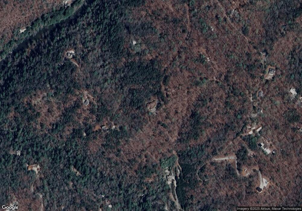
Map
Nearby Homes
- 83 Austin Ct
- 0 Arborwood Dr Unit 10645890
- 202 Indian Trail
- 0 Bearden Rd Unit 10598024
- 0 Bearden Rd Unit 7642996
- 128 Young Deer Dr
- 87 Tolleffs Trail
- 496 Beaver Dam Rd
- 300 Mountain Ridge Dr
- 380 Copper Mill Rd
- 0 Winters Mountain Rd Unit 7681054
- 0 Winters Mountain Rd Unit 10643431
- 1228 Winters Mountain Rd
- 962 Winters Mountain Rd
- 03 Kate Rd
- 0 Porter Springs Rd Unit 7685063
- 0 Porter Springs Rd Unit 10648400
- 165 Porter Springs Rd
- 372 Porter Springs Rd
- 7.123 Acres Halls Mill Rd
- 0 River Ridge Rd N Unit 3167904
- 0 River Ridge Rd N Unit 6 7522828
- 349 River Ridge Rd S
- LOT 6 River Ridge Rd N
- 92 Log Cabin Rd
- 00 River Ridge Rd N
- 941 Pecks Mill Creek Rd
- 57 River Ridge Rd N
- 0 River Ridge Rd S Unit 8245683
- 0 River Ridge Rd S
- 0 River Ridge Rd S Unit 7384421
- 0 River Ridge Rd S Unit 3281954
- 0 River Ridge Rd S Unit 3212256
- 0 River Ridge Rd S Unit 7628618
- 0 River Ridge Rd S Unit 7432791
- 0 River Ridge Rd S Unit 8120881
- 0 River Ridge Rd S Unit 8895134
- 0 River Ridge Rd S Unit 7150305
- 0 River Ridge Rd S Unit 8290636
- 887 Pecks Mill Creek Rd