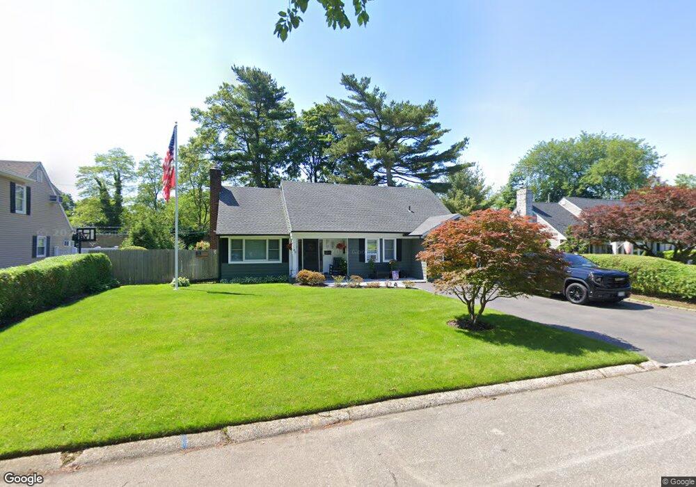
48 Robin Rd Westbury, NY 11590
Estimated Value: $823,381 - $1,010,000
--
Bed
2
Baths
1,677
Sq Ft
$547/Sq Ft
Est. Value
About This Home
This home is located at 48 Robin Rd, Westbury, NY 11590 and is currently estimated at $916,691, approximately $546 per square foot. 48 Robin Rd is a home located in Nassau County with nearby schools including Cherry Lane School, Rushmore Avenue School, and Carle Place High School.
Ownership History
Date
Name
Owned For
Owner Type
Purchase Details
Closed on
Mar 12, 2003
Sold by
Pascarella Marion
Current Estimated Value
Purchase Details
Closed on
Jan 15, 1999
Sold by
Cassidy Marion E
Bought by
Pascarella Marion
Create a Home Valuation Report for This Property
The Home Valuation Report is an in-depth analysis detailing your home's value as well as a comparison with similar homes in the area
Home Values in the Area
Average Home Value in this Area
Purchase History
| Date | Buyer | Sale Price | Title Company |
|---|---|---|---|
| -- | $384,000 | -- | |
| Pascarella Marion | -- | -- |
Source: Public Records
Tax History Compared to Growth
Tax History
| Year | Tax Paid | Tax Assessment Tax Assessment Total Assessment is a certain percentage of the fair market value that is determined by local assessors to be the total taxable value of land and additions on the property. | Land | Improvement |
|---|---|---|---|---|
| 2025 | $10,760 | $550 | $272 | $278 |
| 2024 | $3,075 | $583 | $288 | $295 |
| 2023 | $9,211 | $590 | $292 | $298 |
| 2022 | $9,211 | $603 | $298 | $305 |
| 2021 | $8,696 | $619 | $306 | $313 |
| 2020 | $8,291 | $714 | $713 | $1 |
| 2019 | $7,921 | $765 | $540 | $225 |
| 2018 | $7,957 | $816 | $0 | $0 |
| 2017 | $7,537 | $1,120 | $790 | $330 |
| 2016 | $10,581 | $1,120 | $790 | $330 |
| 2015 | $2,981 | $1,120 | $790 | $330 |
| 2014 | $2,981 | $1,120 | $790 | $330 |
| 2013 | $2,834 | $1,120 | $790 | $330 |
Source: Public Records
Map
Nearby Homes
- 68 Oriole Way
- 330 Ellison Ave
- 83 Renison Dr
- 45 Manchester St
- 355 Sylvan Ln
- 51 Wickey Ave
- 24 Walnut St
- 333 Sylvan Ln
- 31 Chestnut St
- 64 Wilson Ave
- 172 Harvard St
- 6 Bostwick Ln
- 60 Concord St
- 81 Ward St
- 198 Belmont Ave
- 332 Jamaica Blvd
- 175 Maple Ave Unit 5G
- 194 Rhododendron Dr
- 213 Belmont Ave
- 23 Old Westbury Rd