48 Ruth Rd Broomfield, CO 80020
Ridgeview Heights NeighborhoodEstimated Value: $527,000 - $613,000
3
Beds
2
Baths
2,149
Sq Ft
$268/Sq Ft
Est. Value
About This Home
This home is located at 48 Ruth Rd, Broomfield, CO 80020 and is currently estimated at $575,086, approximately $267 per square foot. 48 Ruth Rd is a home located in Broomfield County with nearby schools including Kohl Elementary School, Broomfield Heights Middle School, and Broomfield High School.
Ownership History
Date
Name
Owned For
Owner Type
Purchase Details
Closed on
Mar 11, 2016
Sold by
Fink Drake and Fink Virginia
Bought by
Strotheide Larry L and Strotheide Cassandra J
Current Estimated Value
Home Financials for this Owner
Home Financials are based on the most recent Mortgage that was taken out on this home.
Original Mortgage
$318,250
Outstanding Balance
$254,417
Interest Rate
3.79%
Mortgage Type
New Conventional
Estimated Equity
$324,167
Purchase Details
Closed on
Sep 12, 2014
Sold by
Hoiland John T and Hoiland Jeanne F
Bought by
Fink Drake and Fink Virginia
Home Financials for this Owner
Home Financials are based on the most recent Mortgage that was taken out on this home.
Original Mortgage
$276,300
Interest Rate
4.15%
Mortgage Type
New Conventional
Purchase Details
Closed on
Oct 5, 1987
Create a Home Valuation Report for This Property
The Home Valuation Report is an in-depth analysis detailing your home's value as well as a comparison with similar homes in the area
Home Values in the Area
Average Home Value in this Area
Purchase History
| Date | Buyer | Sale Price | Title Company |
|---|---|---|---|
| Strotheide Larry L | $335,000 | -- | |
| Fink Drake | $307,000 | Land Title Guarantee Company | |
| -- | $99,000 | -- |
Source: Public Records
Mortgage History
| Date | Status | Borrower | Loan Amount |
|---|---|---|---|
| Open | Strotheide Larry L | $318,250 | |
| Previous Owner | Fink Drake | $276,300 |
Source: Public Records
Tax History Compared to Growth
Tax History
| Year | Tax Paid | Tax Assessment Tax Assessment Total Assessment is a certain percentage of the fair market value that is determined by local assessors to be the total taxable value of land and additions on the property. | Land | Improvement |
|---|---|---|---|---|
| 2025 | $3,202 | $38,350 | $7,660 | $30,690 |
| 2024 | $3,202 | $34,170 | $6,920 | $27,250 |
| 2023 | $3,196 | $41,070 | $7,950 | $33,120 |
| 2022 | $2,904 | $30,040 | $6,140 | $23,900 |
| 2021 | $2,889 | $30,900 | $6,320 | $24,580 |
| 2020 | $2,590 | $27,530 | $5,580 | $21,950 |
| 2019 | $2,585 | $28,770 | $5,620 | $23,150 |
| 2018 | $2,311 | $24,480 | $4,800 | $19,680 |
| 2017 | $2,276 | $29,490 | $5,310 | $24,180 |
| 2016 | $2,081 | $22,070 | $5,310 | $16,760 |
| 2015 | $2,009 | $18,740 | $5,310 | $13,430 |
| 2014 | $1,003 | $18,740 | $5,310 | $13,430 |
Source: Public Records
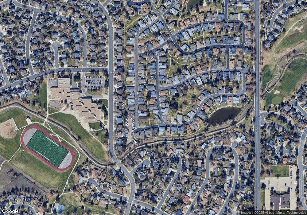
Map
Nearby Homes
- 57 Scott Dr S
- 20 Scott Dr N
- 23 Scott Dr N
- 30 Douglas Dr N
- 46 Douglas Dr S
- 53 Douglas Dr S
- 1719 Daisy Ct
- 1660 Emerald St
- 1607 Garnet St
- 14 N Douglas Dr
- 37 E 14th Place
- 114 E 14th Ct
- 1606 Iris St
- 1625 Hemlock Way
- 1320 Holly Dr E
- 36 Carla Way
- 267 Powderhorn Trail
- 1677 Hemlock Way
- 1175 Oakhurst Dr
- 1732 Peregrine Ln