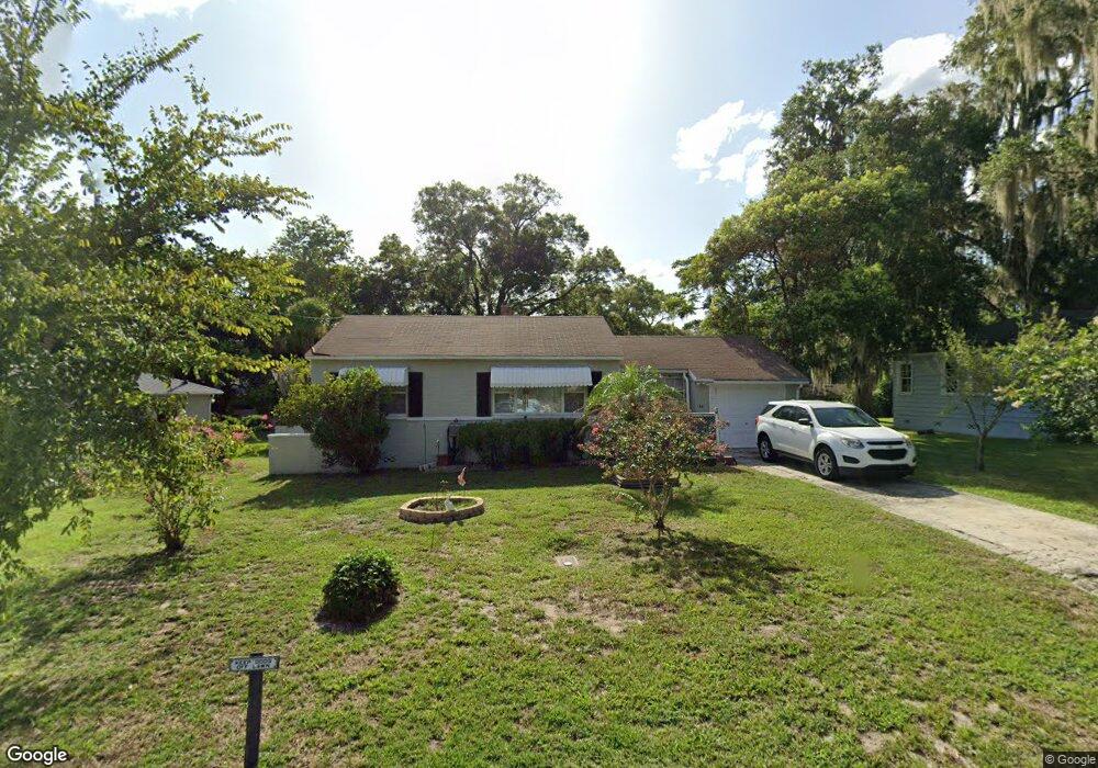
48 S University Cir Deland, FL 32724
Estimated Value: $169,440 - $215,000
2
Beds
1
Bath
891
Sq Ft
$214/Sq Ft
Est. Value
About This Home
This home is located at 48 S University Cir, Deland, FL 32724 and is currently estimated at $190,860, approximately $214 per square foot. 48 S University Cir is a home located in Volusia County with nearby schools including Deland High School, Blue Lake Elementary School, and Deland Middle School.
Ownership History
Date
Name
Owned For
Owner Type
Purchase Details
Closed on
Jun 27, 2007
Sold by
Smith Joyce Clark and Johnson Billy E
Bought by
Johnson Billy E and Johnson Joyce C
Current Estimated Value
Home Financials for this Owner
Home Financials are based on the most recent Mortgage that was taken out on this home.
Original Mortgage
$60,000
Interest Rate
6.16%
Mortgage Type
New Conventional
Purchase Details
Closed on
May 15, 1990
Bought by
Johnson Billy E and Johnson Joyce C
Create a Home Valuation Report for This Property
The Home Valuation Report is an in-depth analysis detailing your home's value as well as a comparison with similar homes in the area
Home Values in the Area
Average Home Value in this Area
Purchase History
| Date | Buyer | Sale Price | Title Company |
|---|---|---|---|
| Johnson Billy E | -- | Volusia Title Services | |
| Johnson Billy E | $32,000 | -- |
Source: Public Records
Mortgage History
| Date | Status | Borrower | Loan Amount |
|---|---|---|---|
| Closed | Johnson Billy E | $60,000 |
Source: Public Records
Tax History Compared to Growth
Tax History
| Year | Tax Paid | Tax Assessment Tax Assessment Total Assessment is a certain percentage of the fair market value that is determined by local assessors to be the total taxable value of land and additions on the property. | Land | Improvement |
|---|---|---|---|---|
| 2025 | $1,965 | $134,023 | $36,946 | $97,077 |
| 2024 | $1,965 | $134,899 | $36,946 | $97,953 |
| 2023 | $1,965 | $138,169 | $34,104 | $104,065 |
| 2022 | $1,740 | $111,528 | $23,304 | $88,224 |
| 2021 | $1,668 | $95,823 | $19,894 | $75,929 |
| 2020 | $1,487 | $81,110 | $17,052 | $64,058 |
| 2019 | $1,428 | $75,864 | $12,789 | $63,075 |
| 2018 | $1,359 | $69,982 | $9,379 | $60,603 |
| 2017 | $1,278 | $63,289 | $9,417 | $53,872 |
| 2016 | $1,089 | $48,722 | $0 | $0 |
| 2015 | $1,010 | $42,570 | $0 | $0 |
| 2014 | $1,042 | $42,917 | $0 | $0 |
Source: Public Records
Map
Nearby Homes
- 45 S University Cir
- 3 S University Cir
- 437 N Boston Ave Unit 437
- 503 E Minnesota Ave
- 419 N Frankfort Ave
- 406 N Kentucky Ave
- 706 E Minnesota Ave Unit C
- 611 N Garfield Ave
- 322 N Frankfort Ave
- 851 E Pennsylvania Ave
- 733 E Ohio Ave
- 701 N Tuxedo Ave
- 405 N McDonald Ave
- 1301 E Wisconsin Ave
- 330 E Wisconsin Ave
- 401 N McDonald Ave
- 612 E Plymouth Ave
- 0 E Wisconsin Ave Unit MFRO6190518
- 225 N Phippen Ave
- 524 E Church St
- 46 S University Cir
- 52 S University Cir
- 509 N Kentucky Ave
- 511 N Kentucky Ave
- 44 S University Cir
- 58 S University Cir
- 513 N Kentucky Ave
- 47 S University Cir
- 51 S University Cir
- 0 S University Cir Unit HIGHLAND
- 42 N University Cir
- 55 S University Cir
- 515 N Kentucky Ave
- 57 S University Cir
- 59 S University Cir
- 2 S University Cir
- 510 N Kentucky Ave
- 40 N University Cir
- 508 N Kentucky Ave
- 508 N Boston Ave