48 Scott Ln Bridgton, ME 04009
Estimated Value: $1,196,819
--
Bed
--
Bath
960
Sq Ft
$1,247/Sq Ft
Est. Value
About This Home
This home is located at 48 Scott Ln, Bridgton, ME 04009 and is currently estimated at $1,196,819, approximately $1,246 per square foot. 48 Scott Ln is a home located in Cumberland County with nearby schools including Lake Region High School.
Ownership History
Date
Name
Owned For
Owner Type
Purchase Details
Closed on
Nov 1, 2011
Sold by
Rogers Sara T and Rogers Gary S
Bought by
Roy Susan M and Roy Denis G
Current Estimated Value
Home Financials for this Owner
Home Financials are based on the most recent Mortgage that was taken out on this home.
Original Mortgage
$400,000
Outstanding Balance
$271,947
Interest Rate
4.11%
Mortgage Type
Purchase Money Mortgage
Estimated Equity
$924,872
Purchase Details
Closed on
Mar 29, 2005
Sold by
Rogers Sara T and Rogers Gary S
Bought by
Roger Gary S and Rogers Sara T
Create a Home Valuation Report for This Property
The Home Valuation Report is an in-depth analysis detailing your home's value as well as a comparison with similar homes in the area
Home Values in the Area
Average Home Value in this Area
Purchase History
| Date | Buyer | Sale Price | Title Company |
|---|---|---|---|
| Roy Susan M | $501,000 | -- | |
| Roger Gary S | -- | -- |
Source: Public Records
Mortgage History
| Date | Status | Borrower | Loan Amount |
|---|---|---|---|
| Open | Roy Susan M | $400,000 |
Source: Public Records
Tax History Compared to Growth
Tax History
| Year | Tax Paid | Tax Assessment Tax Assessment Total Assessment is a certain percentage of the fair market value that is determined by local assessors to be the total taxable value of land and additions on the property. | Land | Improvement |
|---|---|---|---|---|
| 2024 | $18,134 | $1,063,553 | $646,560 | $416,993 |
| 2023 | $18,293 | $1,063,553 | $646,560 | $416,993 |
| 2022 | $16,166 | $1,063,553 | $646,560 | $416,993 |
| 2021 | $15,741 | $1,063,553 | $646,560 | $416,993 |
| 2020 | $15,900 | $1,063,553 | $646,560 | $416,993 |
| 2019 | $15,953 | $1,063,553 | $646,560 | $416,993 |
| 2018 | $10,303 | $696,159 | $583,504 | $112,655 |
| 2017 | $10,651 | $696,159 | $583,504 | $112,655 |
| 2016 | $9,762 | $657,377 | $583,504 | $73,873 |
| 2015 | $8,809 | $640,619 | $555,964 | $84,655 |
| 2014 | $9,007 | $640,619 | $555,964 | $84,655 |
Source: Public Records
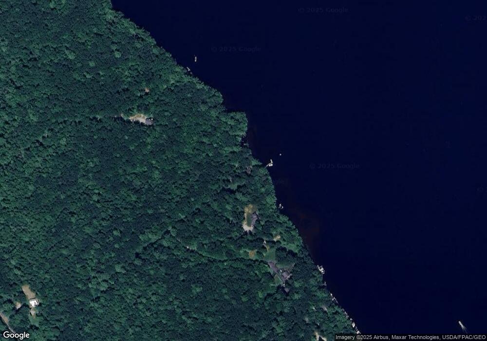
Map
Nearby Homes
- 364 Kansas Rd
- Lot 3 Camp Woodlands Rd
- Lot 1 Camp Woodlands Rd
- Lot 7 Camp Loop Rd
- Lot 8 Camp Loop Rd
- 11 Camp Loop Ln
- 27 Stonehedge Dr
- 13 N Beech Rd
- 64-74 Portland Rd
- 323 Portland Rd
- 987 Naples Rd
- 1277 Naples Rd
- 1278 Naples Rd
- 236 Portland Rd Unit A
- 209 Portland Rd
- Lot #3 Skyview Rd
- 492 Lewis Rd
- 70 Plummers Landing Rd
- 86 Beaver Creek Farm Rd
- 224 Ledges S