48 Skyview Ln Sudbury, MA 01776
Estimated Value: $2,398,000 - $2,864,000
5
Beds
6
Baths
7,458
Sq Ft
$355/Sq Ft
Est. Value
About This Home
This home is located at 48 Skyview Ln, Sudbury, MA 01776 and is currently estimated at $2,648,044, approximately $355 per square foot. 48 Skyview Ln is a home located in Middlesex County with nearby schools including Josiah Haynes Elementary School, Ephraim Curtis Middle School, and Lincoln-Sudbury Regional High School.
Ownership History
Date
Name
Owned For
Owner Type
Purchase Details
Closed on
May 12, 2010
Sold by
Verni Ralph and Verni Kathleen
Bought by
Beauvais Michael D and Beauvais Kristy M
Current Estimated Value
Home Financials for this Owner
Home Financials are based on the most recent Mortgage that was taken out on this home.
Original Mortgage
$1,160,000
Interest Rate
5.11%
Mortgage Type
Purchase Money Mortgage
Purchase Details
Closed on
Dec 27, 1999
Sold by
Dakin Ridge Corp
Bought by
Verni Ralph and Verni Kathleen
Create a Home Valuation Report for This Property
The Home Valuation Report is an in-depth analysis detailing your home's value as well as a comparison with similar homes in the area
Home Values in the Area
Average Home Value in this Area
Purchase History
| Date | Buyer | Sale Price | Title Company |
|---|---|---|---|
| Beauvais Michael D | $1,450,000 | -- | |
| Verni Ralph | $1,253,000 | -- |
Source: Public Records
Mortgage History
| Date | Status | Borrower | Loan Amount |
|---|---|---|---|
| Open | Verni Ralph | $1,130,000 | |
| Closed | Verni Ralph | $1,160,000 | |
| Closed | Beauvais Michael D | $1,160,000 | |
| Closed | Verni Ralph | $72,500 |
Source: Public Records
Tax History Compared to Growth
Tax History
| Year | Tax Paid | Tax Assessment Tax Assessment Total Assessment is a certain percentage of the fair market value that is determined by local assessors to be the total taxable value of land and additions on the property. | Land | Improvement |
|---|---|---|---|---|
| 2025 | $33,823 | $2,310,300 | $658,100 | $1,652,200 |
| 2024 | $32,531 | $2,226,600 | $640,100 | $1,586,500 |
| 2023 | $30,477 | $1,932,600 | $600,500 | $1,332,100 |
| 2022 | $29,250 | $1,620,500 | $513,700 | $1,106,800 |
| 2021 | $29,194 | $1,550,400 | $513,700 | $1,036,700 |
| 2020 | $29,099 | $1,577,200 | $540,500 | $1,036,700 |
| 2019 | $28,248 | $1,577,200 | $540,500 | $1,036,700 |
| 2018 | $28,001 | $1,561,700 | $553,700 | $1,008,000 |
| 2017 | $26,028 | $1,467,200 | $517,700 | $949,500 |
| 2016 | $25,312 | $1,422,000 | $498,900 | $923,100 |
| 2015 | $24,533 | $1,393,900 | $488,400 | $905,500 |
| 2014 | $24,578 | $1,363,200 | $475,200 | $888,000 |
Source: Public Records
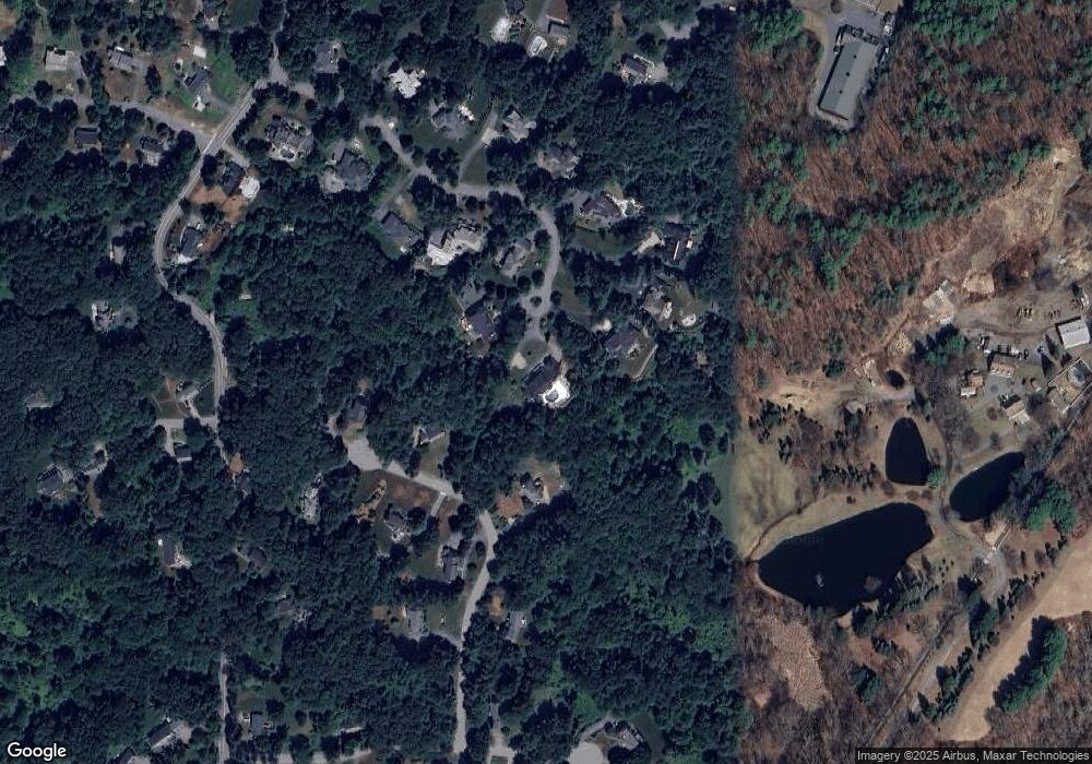
Map
Nearby Homes
- 42 Dakin Rd
- 16 Blacksmith Dr
- 121 White Pond Way Unit 121
- 401 Emery Ln Unit 104
- 40 Rookery Ln Unit 5
- 72 Rookery Ln Unit 3
- 24 Rookery Ln Unit 6
- 56 Rookery Ln Unit 4
- 14 Frost Ln
- 369 Border Rd
- 394 Plainfield Rd Unit 394
- 67 Powder Mill Rd
- 57 Longfellow Rd
- 941 Concord Rd
- Lot 5 Sailaway Ln
- 45 N Crescent Cir
- Lot 4 Sailaway Ln
- 2 Betts Way
- 8 Mina Way
- 0 Elm Unit 73282184
- 44 Skyview Ln
- 43 Skyview Ln
- 44 Skyview Ln
- 43 Skyview Ln
- 28 Tantamouse Trail
- 34 Tantamouse Trail
- 33 Skyview Ln
- 40 Skyview Ln
- 25 Skyview Ln
- 25 Skyview Ln
- 25 Skyview Ln
- 25 Skyview Ln Unit 1
- 40 Tantamouse Trail
- 32 Skyview Ln
- 32 Skyview Ln
- 36 Skyview Ln
- 36 Skyview Ln
- 19 Skyview Ln
- 31 Tantamouse Trail
- 25 Tantamouse Trail