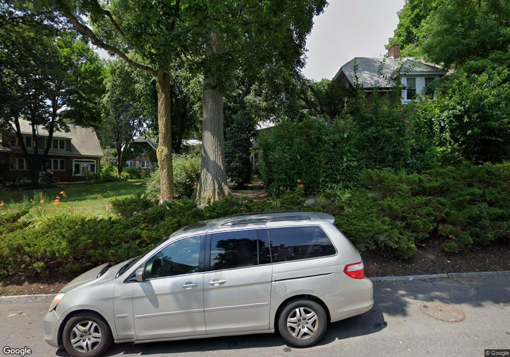
48 Southbourne Rd Jamaica Plain, MA 02130
Jamaica Plain NeighborhoodEstimated Value: $677,000 - $786,000
3
Beds
1
Bath
1,120
Sq Ft
$659/Sq Ft
Est. Value
About This Home
This home is located at 48 Southbourne Rd, Jamaica Plain, MA 02130 and is currently estimated at $738,025, approximately $658 per square foot. 48 Southbourne Rd is a home located in Suffolk County with nearby schools including Brooke Charter School Roslindale, The Croft School - Jamaica Plain, and St. Clare High School.
Ownership History
Date
Name
Owned For
Owner Type
Purchase Details
Closed on
Feb 20, 2003
Sold by
Cullion Cheryl A
Bought by
Dooley Catherine T
Current Estimated Value
Home Financials for this Owner
Home Financials are based on the most recent Mortgage that was taken out on this home.
Original Mortgage
$230,000
Outstanding Balance
$98,719
Interest Rate
5.98%
Mortgage Type
Purchase Money Mortgage
Estimated Equity
$639,306
Purchase Details
Closed on
Oct 29, 1993
Sold by
Halligan Ruth M
Bought by
Cullion Cheryl A
Home Financials for this Owner
Home Financials are based on the most recent Mortgage that was taken out on this home.
Original Mortgage
$88,000
Interest Rate
6.86%
Mortgage Type
Purchase Money Mortgage
Create a Home Valuation Report for This Property
The Home Valuation Report is an in-depth analysis detailing your home's value as well as a comparison with similar homes in the area
Home Values in the Area
Average Home Value in this Area
Purchase History
| Date | Buyer | Sale Price | Title Company |
|---|---|---|---|
| Dooley Catherine T | $319,000 | -- | |
| Cullion Cheryl A | $110,000 | -- |
Source: Public Records
Mortgage History
| Date | Status | Borrower | Loan Amount |
|---|---|---|---|
| Open | Dooley Catherine T | $230,000 | |
| Previous Owner | Cullion Cheryl A | $88,000 |
Source: Public Records
Tax History Compared to Growth
Tax History
| Year | Tax Paid | Tax Assessment Tax Assessment Total Assessment is a certain percentage of the fair market value that is determined by local assessors to be the total taxable value of land and additions on the property. | Land | Improvement |
|---|---|---|---|---|
| 2025 | $8,311 | $717,700 | $202,200 | $515,500 |
| 2024 | $7,373 | $676,400 | $194,200 | $482,200 |
| 2023 | $6,788 | $632,000 | $181,500 | $450,500 |
| 2022 | $6,306 | $579,600 | $166,400 | $413,200 |
| 2021 | $6,004 | $562,700 | $161,600 | $401,100 |
| 2020 | $5,708 | $540,500 | $157,900 | $382,600 |
| 2019 | $5,424 | $514,600 | $131,800 | $382,800 |
| 2018 | $4,815 | $459,400 | $131,800 | $327,600 |
| 2017 | $4,772 | $450,600 | $131,800 | $318,800 |
| 2016 | $4,859 | $441,700 | $131,800 | $309,900 |
| 2015 | $5,223 | $431,300 | $126,200 | $305,100 |
| 2014 | $4,751 | $377,700 | $126,200 | $251,500 |
Source: Public Records
Map
Nearby Homes
- 50 Southbourne Rd
- 18-20 Northbourne Rd Unit 18
- 348-350 Hyde Park Ave Unit 2
- 31 Rodman St Unit 2
- 31 Rodman St Unit 1
- 71 Wyvern St
- 158 Wachusett St Unit 3
- 36 Neponset Ave Unit 1
- 24 Waterman Rd
- 140 Wachusett St
- 105 Neponset Ave Unit 105
- 19 Delford St
- 19 Delford St Unit 1
- 103 Neponset Ave Unit 103A
- 103-105 Neponset Ave
- 4012 Washington St
- 178 Hyde Park Ave Unit 3
- 187 Florence St Unit 2L
- 4031 Washington St
- 32 Jewett St
- 46 Southbourne Rd
- 42 Southbourne Rd
- 44 Southbourne Rd
- 44 Southbourne Rd
- 44 Southbourne Rd Unit 1
- 34 Southbourne Rd
- 52 Southbourne Rd
- 36 Southbourne Rd
- 40 Southbourne Rd
- 56 Southbourne Rd
- 32 Southbourne Rd
- 54 Southbourne Rd
- 58 Southbourne Rd
- 38 Southbourne Rd
- 60 Southbourne Rd
- 9 Bournedale Rd
- 30 Southbourne Rd
- 62 Southbourne Rd
- 24 Southbourne Rd
- 64 Southbourne Rd