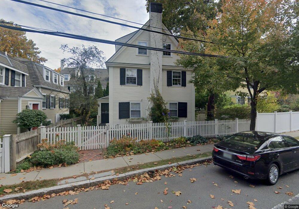
48 Sparks St Cambridge, MA 02138
West Cambridge NeighborhoodEstimated Value: $2,491,479 - $2,823,000
4
Beds
4
Baths
2,000
Sq Ft
$1,349/Sq Ft
Est. Value
About This Home
This home is located at 48 Sparks St, Cambridge, MA 02138 and is currently estimated at $2,697,370, approximately $1,348 per square foot. 48 Sparks St is a home located in Middlesex County with nearby schools including St Peter School, Cambridge Montessori School, and Buckingham Browne & Nichols School.
Ownership History
Date
Name
Owned For
Owner Type
Purchase Details
Closed on
Aug 1, 2003
Sold by
Harrison Mary and Harrison John Michael
Bought by
Webber Asia and Webber Jeremy
Current Estimated Value
Home Financials for this Owner
Home Financials are based on the most recent Mortgage that was taken out on this home.
Original Mortgage
$865,000
Outstanding Balance
$371,467
Interest Rate
5.28%
Mortgage Type
Purchase Money Mortgage
Estimated Equity
$2,325,903
Create a Home Valuation Report for This Property
The Home Valuation Report is an in-depth analysis detailing your home's value as well as a comparison with similar homes in the area
Home Values in the Area
Average Home Value in this Area
Purchase History
| Date | Buyer | Sale Price | Title Company |
|---|---|---|---|
| Webber Asia | $865,000 | -- |
Source: Public Records
Mortgage History
| Date | Status | Borrower | Loan Amount |
|---|---|---|---|
| Open | Webber Asia | $865,000 |
Source: Public Records
Tax History
| Year | Tax Paid | Tax Assessment Tax Assessment Total Assessment is a certain percentage of the fair market value that is determined by local assessors to be the total taxable value of land and additions on the property. | Land | Improvement |
|---|---|---|---|---|
| 2025 | $12,628 | $1,988,700 | $1,048,100 | $940,600 |
| 2024 | $11,556 | $1,952,000 | $1,051,200 | $900,800 |
| 2023 | $10,644 | $1,816,300 | $1,032,200 | $784,100 |
| 2022 | $10,131 | $1,711,400 | $1,024,300 | $687,100 |
| 2021 | $9,519 | $1,627,100 | $1,009,400 | $617,700 |
| 2020 | $8,980 | $1,561,800 | $975,700 | $586,100 |
| 2019 | $8,066 | $1,357,900 | $821,900 | $536,000 |
| 2018 | $8,399 | $1,335,300 | $817,700 | $517,600 |
| 2017 | $8,222 | $1,266,800 | $779,700 | $487,100 |
| 2016 | $7,847 | $1,122,600 | $674,400 | $448,200 |
| 2015 | $8,085 | $1,033,900 | $632,200 | $401,700 |
| 2014 | $8,480 | $1,011,900 | $615,400 | $396,500 |
Source: Public Records
Map
Nearby Homes
- 153 Brattle St
- 158 Brattle St
- 1010 Memorial Dr Unit 6F
- 172 Brattle St
- 14 Concord Ave Unit 624
- 234 Huron Ave
- 44 Garden St
- 992 Memorial Dr Unit 106
- 187 Concord Ave Unit 5
- 140 Huron Ave
- 12 Gray Gardens W Unit 14
- 84 Garden St
- 985 Memorial Dr Unit 603
- 985 Memorial Dr Unit 303
- 12 Gerry St Unit 12
- 986 Memorial Dr Unit 404
- 984 Memorial Dr Unit 984-503
- 281 Concord Ave
- 50 Follen St Unit 306
- 382 Huron Ave
- 50 Sparks St
- 6 Mercer Cir
- 7 Mercer Cir
- 8 Mercer Cir
- 3 Hubbard Park Rd
- 47 Sparks St
- 134 Brattle St
- 136 Brattle St
- 138 Brattle St
- 3 Mercer Cir
- 2 Mercer Cir
- 9 Mercer Cir
- 5 Mercer Cir
- 140 Brattle St
- 0 Hubbard Park Rd Unit 1
- 2 Hubbard Park Rd
- 2 Hubbard Park Rd Unit 3
- 2 Hubbard Park Rd Unit 2
- 142 Brattle St
- 142 Brattle St Unit L
Your Personal Tour Guide
Ask me questions while you tour the home.