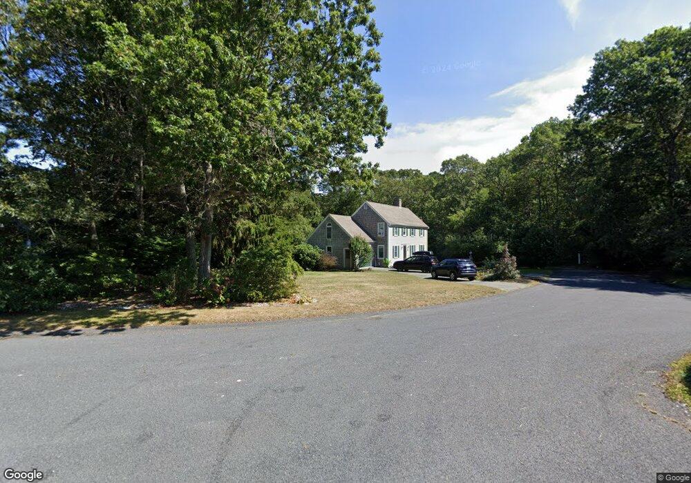
48 Tall Pines Dr Yarmouth Port, MA 02675
Yarmouth Port NeighborhoodEstimated Value: $707,696 - $863,000
3
Beds
3
Baths
1,501
Sq Ft
$509/Sq Ft
Est. Value
About This Home
This home is located at 48 Tall Pines Dr, Yarmouth Port, MA 02675 and is currently estimated at $763,924, approximately $508 per square foot. 48 Tall Pines Dr is a home located in Barnstable County with nearby schools including Dennis-Yarmouth Regional High School.
Ownership History
Date
Name
Owned For
Owner Type
Purchase Details
Closed on
May 15, 1995
Sold by
Jolly Christopher J and Jolly Leslie M
Bought by
Hart Jeffrey J and Balboni Vicki L
Current Estimated Value
Purchase Details
Closed on
Aug 1, 1989
Sold by
Lands Inc Stage
Bought by
Jolly Christopher P
Create a Home Valuation Report for This Property
The Home Valuation Report is an in-depth analysis detailing your home's value as well as a comparison with similar homes in the area
Home Values in the Area
Average Home Value in this Area
Purchase History
| Date | Buyer | Sale Price | Title Company |
|---|---|---|---|
| Hart Jeffrey J | $146,000 | -- | |
| Jolly Christopher P | $60,000 | -- |
Source: Public Records
Mortgage History
| Date | Status | Borrower | Loan Amount |
|---|---|---|---|
| Open | Jolly Christopher P | $255,000 | |
| Closed | Jolly Christopher P | $16,000 |
Source: Public Records
Tax History Compared to Growth
Tax History
| Year | Tax Paid | Tax Assessment Tax Assessment Total Assessment is a certain percentage of the fair market value that is determined by local assessors to be the total taxable value of land and additions on the property. | Land | Improvement |
|---|---|---|---|---|
| 2025 | $4,671 | $659,700 | $239,900 | $419,800 |
| 2024 | $4,318 | $585,100 | $208,700 | $376,400 |
| 2023 | $4,213 | $519,500 | $176,100 | $343,400 |
| 2022 | $3,822 | $416,300 | $157,600 | $258,700 |
| 2021 | $3,770 | $394,300 | $157,600 | $236,700 |
| 2020 | $3,630 | $363,000 | $155,100 | $207,900 |
| 2019 | $3,463 | $337,600 | $155,100 | $182,500 |
| 2018 | $3,380 | $328,500 | $146,000 | $182,500 |
| 2017 | $3,292 | $328,500 | $146,000 | $182,500 |
| 2016 | $3,278 | $328,500 | $146,000 | $182,500 |
| 2015 | $3,268 | $325,500 | $146,000 | $179,500 |
Source: Public Records
Map
Nearby Homes
- 44 Tall Pines Dr
- 30 Tall Pines Dr
- 34 Tall Pines Dr
- 45 Tall Pines Dr
- 26 Tall Pines Dr
- 37 Tall Pines Dr
- 27 Tall Pines Dr
- 35 Tall Pines Dr
- 43 Tall Pines Dr
- 41 Tall Pines Dr
- 20 Tall Pines Dr
- 5 Many Oaks Cir
- 11 Many Oaks Cir
- 15 Many Oaks Cir
- 14 Tall Pines Dr
- 12 Tall Pines Dr
- 19 Many Oaks Cir
- 8 Many Oaks Cir
- 21 Bent Bluff Ln
- 14 Riseknoll Path