Estimated Value: $194,000 - $222,000
Studio
2
Baths
1,372
Sq Ft
$150/Sq Ft
Est. Value
About This Home
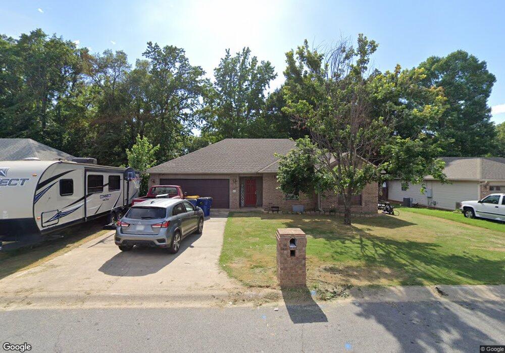
This home is located at 48 Thunderbird Dr, Cabot, AR 72023 and is currently estimated at $205,317, approximately $149 per square foot. 48 Thunderbird Dr is a home located in Lonoke County with nearby schools including Southside Elementary School, Cabot Junior High South, and Cabot Middle School South.
Ownership History
Date
Name
Owned For
Owner Type
Purchase Details
Closed on
Mar 12, 2009
Sold by
Westerman Jeffrey M and Westerman Wendy J
Bought by
Trull Jeremy P and Trull Rachel
Current Estimated Value
Home Financials for this Owner
Home Financials are based on the most recent Mortgage that was taken out on this home.
Original Mortgage
$125,190
Outstanding Balance
$79,941
Interest Rate
5.21%
Mortgage Type
FHA
Estimated Equity
$125,376
Purchase Details
Closed on
Feb 2, 2005
Bought by
Westerman and Westerman Wf
Purchase Details
Closed on
Jan 24, 2005
Bought by
Westerman and Westerman Wf
Purchase Details
Closed on
Jul 19, 2004
Bought by
Hollingshead
Purchase Details
Closed on
Jul 13, 2004
Bought by
Hollingshead
Purchase Details
Closed on
Jun 24, 2004
Bought by
Plat Pci-731
Create a Home Valuation Report for This Property
The Home Valuation Report is an in-depth analysis detailing your home's value as well as a comparison with similar homes in the area
Purchase History
| Date | Buyer | Sale Price | Title Company |
|---|---|---|---|
| Trull Jeremy P | -- | United Abstract & Title Co | |
| Westerman | $117,000 | -- | |
| Westerman | $117,000 | -- | |
| Hollingshead | $20,000 | -- | |
| Hollingshead | $20,000 | -- | |
| Plat Pci-731 | -- | -- |
Source: Public Records
Mortgage History
| Date | Status | Borrower | Loan Amount |
|---|---|---|---|
| Open | Trull Jeremy P | $125,190 |
Source: Public Records
Tax History
| Year | Tax Paid | Tax Assessment Tax Assessment Total Assessment is a certain percentage of the fair market value that is determined by local assessors to be the total taxable value of land and additions on the property. | Land | Improvement |
|---|---|---|---|---|
| 2025 | $757 | $23,230 | $4,000 | $19,230 |
| 2024 | $757 | $23,230 | $4,000 | $19,230 |
| 2023 | $757 | $23,230 | $4,000 | $19,230 |
| 2022 | $807 | $23,230 | $4,000 | $19,230 |
| 2021 | $807 | $23,230 | $4,000 | $19,230 |
| 2020 | $823 | $23,540 | $4,000 | $19,540 |
| 2019 | $823 | $23,540 | $4,000 | $19,540 |
| 2018 | $813 | $23,540 | $4,000 | $19,540 |
| 2017 | $1,080 | $23,540 | $4,000 | $19,540 |
| 2016 | $813 | $23,540 | $4,000 | $19,540 |
| 2015 | $1,089 | $23,730 | $4,000 | $19,730 |
| 2014 | $822 | $23,730 | $4,000 | $19,730 |
Source: Public Records
Map
Nearby Homes
- 15 Castle Heights Dr
- 00 Arkansas 321
- 12 Michael Dr
- 9 Kings Rd
- 21 Buttercup Cove
- 1 Bill Foster Memorial Hwy E
- 10 Bill Foster Memorial Hwy E
- 2702 Bill Foster Memorial Hwy E Unit Hwy 321
- 507 Southhaven Ave
- 29 Mcclellan Dr
- 22 Oakwood Dr
- 22 Wolfsbridge Loop
- 18 Wolfsbridge Loop
- 63 Wolfsbridge Loop
- 57 Wolfsbridge Loop
- 59 Wolfsbridge Loop
- 55 Wolfsbridge Loop
- 52 Wolfsbridge Loop
- 30 Ravell
- 11 Warren St
- 50 Thunderbird Dr
- 44 Thunderbird Dr
- 52 Thunderbird Dr
- 37 Corvette Dr
- 36 Corvette Dr
- 36 Mustang Dr
- 15 Dina Ln
- 35 Corvette Dr
- 34 Corvette Dr
- 54 Thunderbird Dr
- 37 Thunderbird Dr
- 34 Mustang Dr
- 35 Thunderbird Dr
- 56 Thunderbird Dr
- 33 Corvette Dr
- 32 Corvette Dr
- 17 Dina Ln
- 38 Thunderbird Dr
- 32 Mustang Dr
- 33 Thunderbird Dr
Your Personal Tour Guide
Ask me questions while you tour the home.