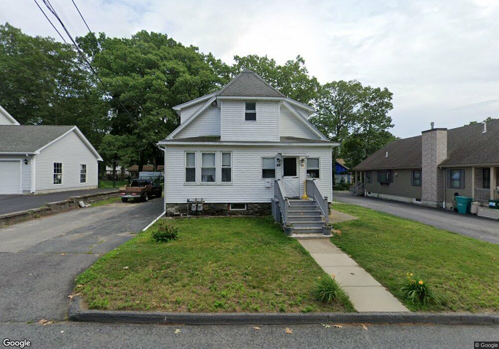
48 Trenton St Unit 2 Worcester, MA 01604
Broadmeadow Brook NeighborhoodEstimated Value: $482,631 - $534,000
2
Beds
1
Bath
600
Sq Ft
$849/Sq Ft
Est. Value
About This Home
This home is located at 48 Trenton St Unit 2, Worcester, MA 01604 and is currently estimated at $509,408, approximately $849 per square foot. 48 Trenton St Unit 2 is a home located in Worcester County with nearby schools including Jacob Hiatt Magnet School, Chandler Magnet, and Rice Square Elementary School.
Ownership History
Date
Name
Owned For
Owner Type
Purchase Details
Closed on
Nov 3, 2021
Sold by
Bull Thomas
Bought by
Bull Dawn
Current Estimated Value
Purchase Details
Closed on
Oct 7, 2021
Sold by
Lois Zukowski Irt
Bought by
Bull Thomas and Bull Dawn
Purchase Details
Closed on
Nov 14, 2018
Sold by
Zukowski Lois
Bought by
Lois Zukowski Irt
Create a Home Valuation Report for This Property
The Home Valuation Report is an in-depth analysis detailing your home's value as well as a comparison with similar homes in the area
Home Values in the Area
Average Home Value in this Area
Purchase History
| Date | Buyer | Sale Price | Title Company |
|---|---|---|---|
| Bull Dawn | -- | None Available | |
| Bull Thomas | $360,000 | None Available | |
| Lois Zukowski Irt | -- | -- |
Source: Public Records
Tax History Compared to Growth
Tax History
| Year | Tax Paid | Tax Assessment Tax Assessment Total Assessment is a certain percentage of the fair market value that is determined by local assessors to be the total taxable value of land and additions on the property. | Land | Improvement |
|---|---|---|---|---|
| 2025 | $5,597 | $424,300 | $118,600 | $305,700 |
| 2024 | $5,393 | $392,200 | $118,600 | $273,600 |
| 2023 | $5,030 | $350,800 | $103,100 | $247,700 |
| 2022 | $4,812 | $316,400 | $82,500 | $233,900 |
| 2021 | $4,192 | $257,500 | $66,000 | $191,500 |
| 2020 | $3,958 | $232,800 | $66,000 | $166,800 |
| 2019 | $4,063 | $225,700 | $59,400 | $166,300 |
| 2018 | $3,992 | $211,100 | $59,400 | $151,700 |
| 2017 | $3,800 | $197,700 | $59,400 | $138,300 |
| 2016 | $3,687 | $178,900 | $43,600 | $135,300 |
| 2015 | $3,591 | $178,900 | $43,600 | $135,300 |
| 2014 | $3,496 | $178,900 | $43,600 | $135,300 |
Source: Public Records
Map
Nearby Homes
- 266 Massasoit Rd
- 25 Stoneham Rd
- 259 Massasoit Rd
- 7 Lorraine Rd
- 256 Massasoit Rd
- 330 Sunderland Rd Unit 78
- 330 Sunderland Rd Unit 87
- 46 Vincent Cir
- 44 Greencourt St
- 53 Denver Terrace
- 270 Sunderland Rd Unit 37
- 270 Sunderland Rd Unit 77
- 270 Sunderland Rd Unit 67
- 340 Sunderland Rd Unit 23
- 11 Margin St
- 65 Progressive St
- 63 Progressive St
- 232 Weatherstone Dr
- 76 Weatherstone Dr
- 21-23 Maranda St