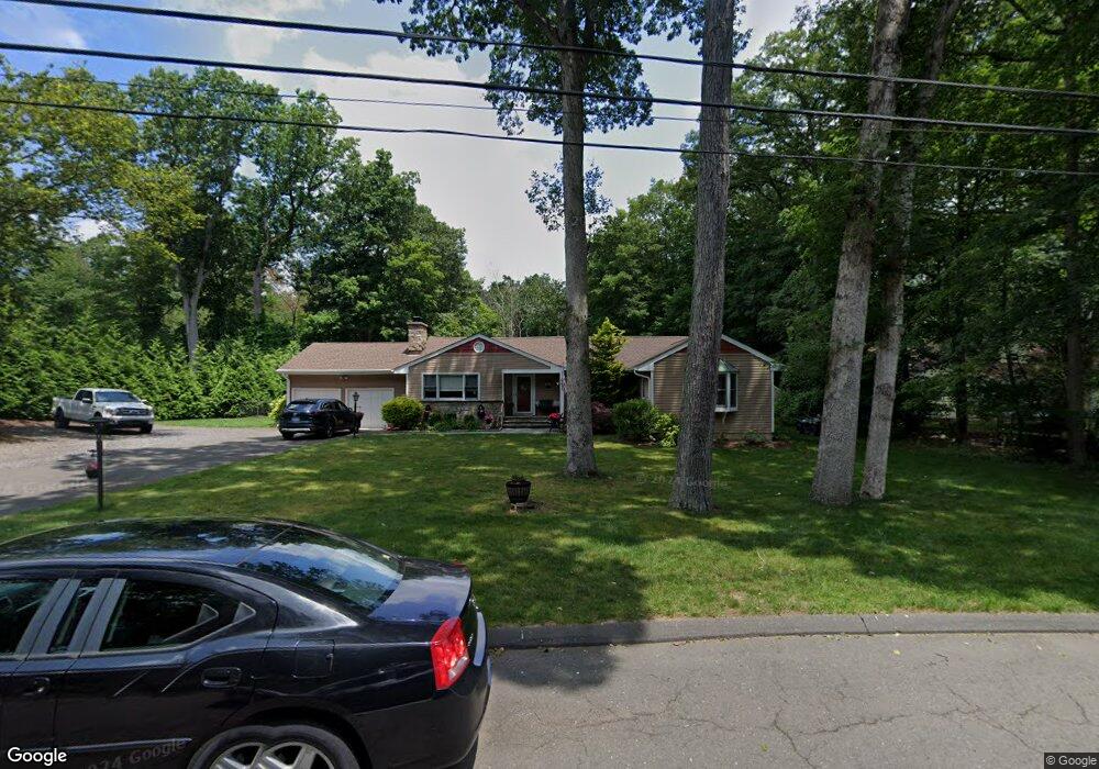
48 Twin Brook Dr Unit A Stamford, CT 06907
Turn of the River-Newfield NeighborhoodEstimated Value: $993,000 - $1,170,000
1
Bed
1
Bath
600
Sq Ft
$1,789/Sq Ft
Est. Value
About This Home
This home is located at 48 Twin Brook Dr Unit A, Stamford, CT 06907 and is currently estimated at $1,073,338, approximately $1,788 per square foot. 48 Twin Brook Dr Unit A is a home located in Fairfield County with nearby schools including Davenport Ridge Elementary School, Rippowam Middle School, and Stamford High School.
Ownership History
Date
Name
Owned For
Owner Type
Purchase Details
Closed on
Apr 27, 2007
Sold by
Fremont Investment & L
Bought by
Cooke Douglas J and Cooke Lisa A
Current Estimated Value
Home Financials for this Owner
Home Financials are based on the most recent Mortgage that was taken out on this home.
Original Mortgage
$613,300
Outstanding Balance
$401,612
Interest Rate
7.62%
Estimated Equity
$671,726
Create a Home Valuation Report for This Property
The Home Valuation Report is an in-depth analysis detailing your home's value as well as a comparison with similar homes in the area
Home Values in the Area
Average Home Value in this Area
Purchase History
| Date | Buyer | Sale Price | Title Company |
|---|---|---|---|
| Cooke Douglas J | $767,500 | -- |
Source: Public Records
Mortgage History
| Date | Status | Borrower | Loan Amount |
|---|---|---|---|
| Open | Cooke Douglas J | $613,300 | |
| Closed | Cooke Douglas J | $77,450 | |
| Previous Owner | Cooke Douglas J | $644,000 | |
| Previous Owner | Cooke Douglas J | $320,000 |
Source: Public Records
Tax History Compared to Growth
Tax History
| Year | Tax Paid | Tax Assessment Tax Assessment Total Assessment is a certain percentage of the fair market value that is determined by local assessors to be the total taxable value of land and additions on the property. | Land | Improvement |
|---|---|---|---|---|
| 2025 | $13,842 | $585,040 | $302,530 | $282,510 |
| 2024 | $13,538 | $585,040 | $302,530 | $282,510 |
| 2023 | $14,544 | $585,040 | $302,530 | $282,510 |
| 2022 | $12,687 | $474,440 | $228,350 | $246,090 |
| 2021 | $12,549 | $474,440 | $228,350 | $246,090 |
| 2020 | $12,226 | $474,440 | $228,350 | $246,090 |
| 2019 | $11,816 | $458,500 | $228,350 | $230,150 |
| 2018 | $11,380 | $458,500 | $228,350 | $230,150 |
| 2017 | $11,842 | $455,460 | $237,490 | $217,970 |
| 2016 | $11,509 | $455,460 | $237,490 | $217,970 |
| 2015 | $11,209 | $455,460 | $237,490 | $217,970 |
| 2014 | $10,835 | $455,460 | $237,490 | $217,970 |
Source: Public Records
Map
Nearby Homes
- 77 Putter Dr
- 1552 Hope St
- 119 Wedgemere Rd
- 39 Running Brook Ln
- 19 Woodway Rd Unit 14
- 17 Oenoke Place
- 23 Oenoke Place
- 1157 Hope St
- 1148 Hope St
- 358 Hoyt St
- 113 Skyview Ln
- 95 Columbus Place Unit 6
- 393 Upper Haig Ave
- 357 Jelliff Mill Rd
- 83 Mulberry St
- 16 Columbus Place
- 44 Brundage St
- 44 Scofield Farms
- 32 Kensett Ln Unit 32
- 72 Kensett Ln