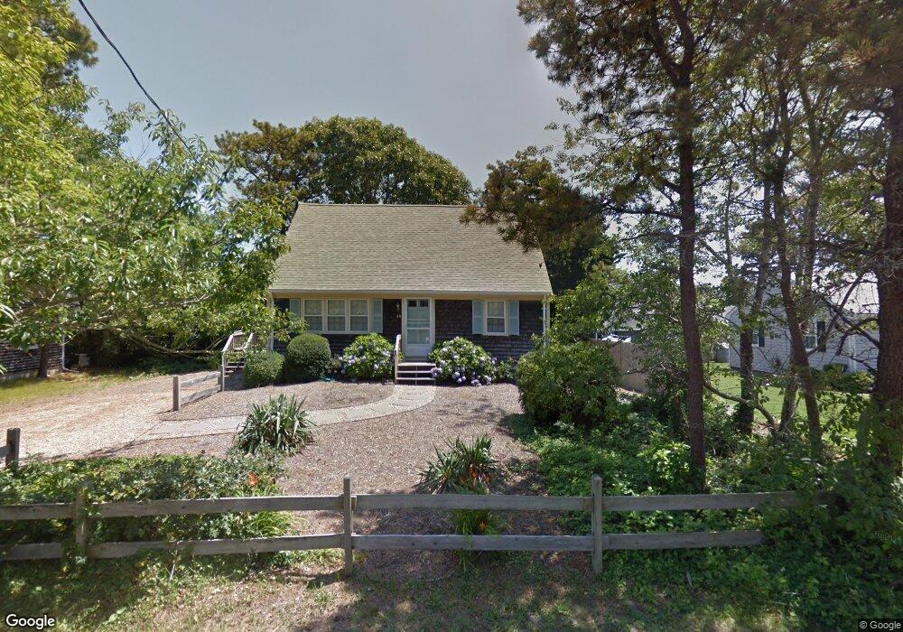
48 Uncle Rolf Rd Dennis Port, MA 02639
Dennis Port NeighborhoodEstimated Value: $504,000 - $673,000
3
Beds
2
Baths
1,046
Sq Ft
$570/Sq Ft
Est. Value
About This Home
This home is located at 48 Uncle Rolf Rd, Dennis Port, MA 02639 and is currently estimated at $596,069, approximately $569 per square foot. 48 Uncle Rolf Rd is a home located in Barnstable County with nearby schools including Dennis-Yarmouth Regional High School and St. Pius X. School.
Ownership History
Date
Name
Owned For
Owner Type
Purchase Details
Closed on
Oct 30, 2020
Sold by
Watson Jonathan S and Sousa Linda C
Bought by
J Scott Watson 2020 Ret and Watson
Current Estimated Value
Purchase Details
Closed on
Nov 2, 2018
Sold by
Desmarais Andrew J
Bought by
Watson Jonathan S and Sousa Linda C
Home Financials for this Owner
Home Financials are based on the most recent Mortgage that was taken out on this home.
Original Mortgage
$280,000
Interest Rate
4.6%
Mortgage Type
New Conventional
Purchase Details
Closed on
Apr 20, 2012
Sold by
Perry Leo F and Perry Deborah M
Bought by
Desmarais Andrew J
Purchase Details
Closed on
Aug 26, 1988
Sold by
Hufnagle Marylee
Bought by
Perry Leo F
Home Financials for this Owner
Home Financials are based on the most recent Mortgage that was taken out on this home.
Original Mortgage
$101,700
Interest Rate
10.36%
Mortgage Type
Purchase Money Mortgage
Create a Home Valuation Report for This Property
The Home Valuation Report is an in-depth analysis detailing your home's value as well as a comparison with similar homes in the area
Home Values in the Area
Average Home Value in this Area
Purchase History
| Date | Buyer | Sale Price | Title Company |
|---|---|---|---|
| J Scott Watson 2020 Ret | -- | None Available | |
| Watson Jonathan S | $350,000 | -- | |
| Desmarais Andrew J | $235,000 | -- | |
| Perry Leo F | $113,000 | -- |
Source: Public Records
Mortgage History
| Date | Status | Borrower | Loan Amount |
|---|---|---|---|
| Previous Owner | Watson Jonathan S | $280,000 | |
| Previous Owner | Perry Leo F | $101,700 | |
| Closed | Desmarais Andrew J | $0 |
Source: Public Records
Tax History Compared to Growth
Tax History
| Year | Tax Paid | Tax Assessment Tax Assessment Total Assessment is a certain percentage of the fair market value that is determined by local assessors to be the total taxable value of land and additions on the property. | Land | Improvement |
|---|---|---|---|---|
| 2025 | $4,790 | $453,200 | $145,100 | $308,100 |
| 2024 | $4,582 | $424,300 | $129,600 | $294,700 |
| 2023 | $4,437 | $385,800 | $117,800 | $268,000 |
| 2022 | $4,270 | $324,500 | $105,200 | $219,300 |
| 2021 | $4,094 | $297,300 | $104,700 | $192,600 |
| 2020 | $4,146 | $289,700 | $104,600 | $185,100 |
| 2019 | $3,831 | $267,500 | $102,600 | $164,900 |
| 2018 | $3,925 | $249,000 | $93,600 | $155,400 |
| 2017 | $3,488 | $233,600 | $90,600 | $143,000 |
| 2016 | $3,311 | $228,800 | $87,600 | $141,200 |
| 2015 | $3,109 | $209,800 | $71,300 | $138,500 |
Source: Public Records
Map
Nearby Homes
- 64 Beaten Rd
- 154 Old Wharf Rd Unit 26
- 154 Old Wharf Rd Unit 14
- 112 Old Wharf Rd Unit E4
- 112 Old Wharf Rd Unit E1
- 37 Ocean Dr Unit 2
- 120 Old Wharf Rd Unit 11
- 217 Old Wharf Rd Unit 64
- 241 Old Wharf Rd Unit 82
- 241 Old Wharf Rd Unit 127
- 241 Old Wharf Rd Unit 90
- 262 Old Wharf Rd Unit 67
- 262 Old Wharf Rd Unit 5
- 262 Old Wharf Rd Unit 5
- 262 Old Wharf Rd Unit 20
- 262 Old Wharf Rd Unit 87
- 37 Beach Hills Rd
- 37-A Beach Hills Rd
- 31 Easy St
- 80 Michaels Ave
- 44 Uncle Rolf Rd
- 52 Uncle Rolf Rd
- 161 Captain Chase Rd
- 169 Captain Chase Rd
- 161-163 Captain Chase Rd
- 47 Uncle Rolf Rd
- 49 Uncle Rolf Rd
- 187 Captain Chase Rd Unit A
- 187 Captain Chase Rd
- 187 Captain Chase Rd Unit 7-8
- 43 Uncle Rolf Rd
- 42 Uncle Rolf Rd
- 58 Uncle Rolf Rd
- 51 Uncle Rolf Rd
- 157 Captain Chase Rd
- 171 Captain Chase Rd Unit 173
- 173 Captain Chase Rd
- 173 Captain Chase Rd Unit B
- 173 Captain Chase Rd Unit A
- 171 Captain Chase Rd