48 Upland Rd New Milford, CT 06776
Estimated Value: $349,000 - $864,482
5
Beds
3
Baths
2,752
Sq Ft
$226/Sq Ft
Est. Value
About This Home
This home is located at 48 Upland Rd, New Milford, CT 06776 and is currently estimated at $620,871, approximately $225 per square foot. 48 Upland Rd is a home located in Litchfield County with nearby schools including Northville Elementary School, Sarah Noble Intermediate School, and Schaghticoke Middle School.
Ownership History
Date
Name
Owned For
Owner Type
Purchase Details
Closed on
Mar 31, 2025
Sold by
Ruth Henderson Ret and Weinshank
Bought by
Hunt Hill Farm Tinc
Current Estimated Value
Home Financials for this Owner
Home Financials are based on the most recent Mortgage that was taken out on this home.
Original Mortgage
$145,000
Outstanding Balance
$144,383
Interest Rate
6.87%
Mortgage Type
Purchase Money Mortgage
Estimated Equity
$476,488
Purchase Details
Closed on
Apr 5, 1968
Bought by
Cramer & Anderson Llp
Create a Home Valuation Report for This Property
The Home Valuation Report is an in-depth analysis detailing your home's value as well as a comparison with similar homes in the area
Home Values in the Area
Average Home Value in this Area
Purchase History
| Date | Buyer | Sale Price | Title Company |
|---|---|---|---|
| Hunt Hill Farm Tinc | $338,760 | None Available | |
| Hunt Hill Farm Tinc | $338,760 | None Available | |
| Cramer & Anderson Llp | -- | -- |
Source: Public Records
Mortgage History
| Date | Status | Borrower | Loan Amount |
|---|---|---|---|
| Open | Hunt Hill Farm Tinc | $145,000 | |
| Closed | Hunt Hill Farm Tinc | $145,000 |
Source: Public Records
Tax History Compared to Growth
Tax History
| Year | Tax Paid | Tax Assessment Tax Assessment Total Assessment is a certain percentage of the fair market value that is determined by local assessors to be the total taxable value of land and additions on the property. | Land | Improvement |
|---|---|---|---|---|
| 2025 | $18,118 | $594,020 | $84,070 | $509,950 |
| 2024 | $12,387 | $416,080 | $64,260 | $351,820 |
| 2023 | $12,058 | $416,080 | $64,260 | $351,820 |
| 2022 | $11,796 | $416,080 | $64,260 | $351,820 |
| 2021 | $11,638 | $416,080 | $64,260 | $351,820 |
| 2020 | $11,672 | $406,980 | $71,260 | $335,720 |
| 2019 | $11,680 | $406,980 | $71,260 | $335,720 |
| 2018 | $11,465 | $406,980 | $71,260 | $335,720 |
| 2017 | $11,090 | $406,980 | $71,260 | $335,720 |
| 2016 | $10,895 | $406,980 | $71,260 | $335,720 |
| 2015 | $10,136 | $378,910 | $71,260 | $307,650 |
| 2014 | $9,965 | $378,910 | $71,260 | $307,650 |
Source: Public Records
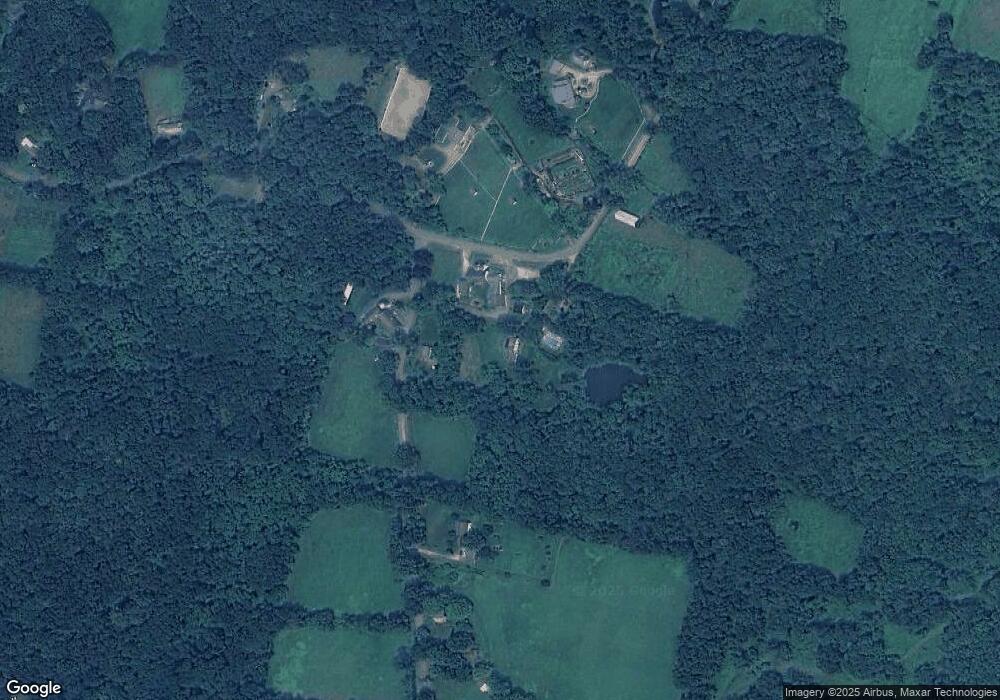
Map
Nearby Homes
- 326 Litchfield Rd
- 15 Harmony Trail
- 10 Harmony Trail
- 62 Big Bear Hill Rd
- 56 Big Bear Hill Rd
- 75 Buckingham Rd
- 4 High Trail
- 15 Connelly Rd
- 35 Hillendale Dr
- 31 Sterling Dr
- 85 Weathervane Dr
- 10 Hawthorne Ln
- Lot 4 060804B Upper Church Hill Rd
- Lot 3 060804C Upper Church Hill Rd
- 151 Guernsey Ln
- 4 Stone Oak Dr
- 00 Upper Church Hill & Popple Swamp Rd
- 40 Mount Tom Rd
- 5 Delivery Ln
- 53 Bear Hill Rd
- 78 Crossmon Rd
- 81 Crossmon Rd
- 70 Crossmon Rd
- 60 Crossmon Rd
- 28 Upland Rd
- 27 Upland Rd
- 45 Crossmon Rd
- 21 Upland Rd
- 74 Old Northville Rd
- 21 Sand Pit Rd
- 46 Crossmon Rd
- 17 Upland Rd
- 75 Upland Rd
- 28 Old Mill Rd
- 20 Sand Pit Rd
- 12 Old Mill Rd
- 26 Old Mill Rd
- 11 Upland Rd
- 999 Crossmon Rd
- 68 Old Northville Rd