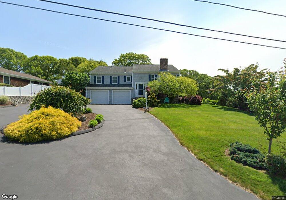
48 Urso Dr Westerly Ri Out of Area, RI 02891
Estimated Value: $698,000 - $810,686
4
Beds
3
Baths
1,658
Sq Ft
$454/Sq Ft
Est. Value
About This Home
This home is located at 48 Urso Dr Westerly Ri, Out of Area, RI 02891 and is currently estimated at $752,672, approximately $453 per square foot. 48 Urso Dr Westerly Ri is a home located in Washington County with nearby schools including Westerly High School and St. Michael School.
Ownership History
Date
Name
Owned For
Owner Type
Purchase Details
Closed on
Jul 2, 2007
Sold by
Borghesi Maxinec
Bought by
Temel Derin C and Temel Elaine C
Current Estimated Value
Home Financials for this Owner
Home Financials are based on the most recent Mortgage that was taken out on this home.
Original Mortgage
$315,000
Outstanding Balance
$193,268
Interest Rate
6.24%
Mortgage Type
Purchase Money Mortgage
Estimated Equity
$559,404
Purchase Details
Closed on
Aug 20, 1999
Sold by
Priestley Joseph W and Priestley Jennifer W
Bought by
Borghesi Maxine L
Home Financials for this Owner
Home Financials are based on the most recent Mortgage that was taken out on this home.
Original Mortgage
$134,750
Interest Rate
7.6%
Create a Home Valuation Report for This Property
The Home Valuation Report is an in-depth analysis detailing your home's value as well as a comparison with similar homes in the area
Home Values in the Area
Average Home Value in this Area
Purchase History
| Date | Buyer | Sale Price | Title Company |
|---|---|---|---|
| Temel Derin C | $450,000 | -- | |
| Borghesi Maxine L | $193,000 | -- |
Source: Public Records
Mortgage History
| Date | Status | Borrower | Loan Amount |
|---|---|---|---|
| Open | Borghesi Maxine L | $315,000 | |
| Previous Owner | Borghesi Maxine L | $134,750 |
Source: Public Records
Tax History Compared to Growth
Tax History
| Year | Tax Paid | Tax Assessment Tax Assessment Total Assessment is a certain percentage of the fair market value that is determined by local assessors to be the total taxable value of land and additions on the property. | Land | Improvement |
|---|---|---|---|---|
| 2025 | $4,785 | $673,000 | $287,800 | $385,200 |
| 2024 | $4,956 | $505,200 | $205,600 | $299,600 |
| 2023 | $4,860 | $505,200 | $205,600 | $299,600 |
| 2022 | $4,830 | $505,200 | $205,600 | $299,600 |
| 2021 | $4,760 | $413,200 | $178,700 | $234,500 |
| 2020 | $4,673 | $413,200 | $178,700 | $234,500 |
| 2019 | $4,628 | $413,200 | $178,700 | $234,500 |
| 2018 | $4,435 | $373,300 | $164,900 | $208,400 |
| 2017 | $4,327 | $373,300 | $164,900 | $208,400 |
| 2016 | $4,360 | $373,300 | $164,900 | $208,400 |
| 2015 | $4,284 | $395,900 | $182,400 | $213,500 |
| 2014 | $4,212 | $395,900 | $182,400 | $213,500 |
Source: Public Records
Map
Nearby Homes
- 17 Plateau Rd
- 2 Belle Rose Dr Unit A
- 33 Stuart St
- 30 Clifford Dr
- 54 Sherwood Dr
- 11 Bucks Trail
- 15 Breach Dr
- 470 Atlantic Ave
- 597 Atlantic Ave
- 446 Atlantic Ave
- 10 Morris Rd
- 432 Atlantic Ave
- 6 Newbury Dr
- 14 Piezzo Dr
- 7 Fenway Rd
- 5 Robin Hollow Ln
- 9 Compass Way Unit 201
- 9 Compass Way Unit 202
- 9 Compass Way Unit 101
- 9 Compass Way Unit 102