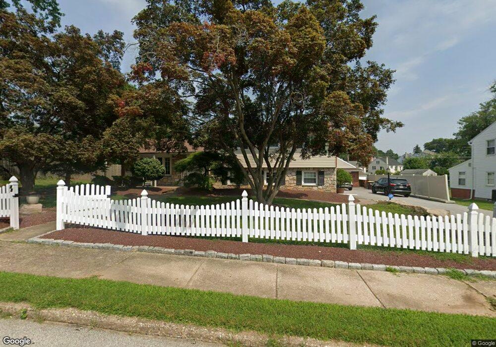
48 Varnum Rd Unit 1 Norristown, PA 19403
West Norriton Township NeighborhoodEstimated Value: $544,000 - $587,000
3
Beds
3
Baths
2,325
Sq Ft
$241/Sq Ft
Est. Value
About This Home
This home is located at 48 Varnum Rd Unit 1, Norristown, PA 19403 and is currently estimated at $559,527, approximately $240 per square foot. 48 Varnum Rd Unit 1 is a home located in Montgomery County with nearby schools including Charles Blockson Middle School, Paul V Fly Elementary School, and East Norriton Middle School.
Ownership History
Date
Name
Owned For
Owner Type
Purchase Details
Closed on
Feb 23, 2022
Sold by
Spedding David and Spedding Carmelina Altieri
Bought by
Morello Russell Anthony and Morello Brooke Catherine
Current Estimated Value
Home Financials for this Owner
Home Financials are based on the most recent Mortgage that was taken out on this home.
Original Mortgage
$368,000
Outstanding Balance
$341,716
Interest Rate
3.55%
Mortgage Type
New Conventional
Estimated Equity
$217,811
Purchase Details
Closed on
Jun 1, 1995
Sold by
Midlantic Bank Na and Valerio Richard A
Bought by
Spedding David and Spedding Carmelina Altieri
Create a Home Valuation Report for This Property
The Home Valuation Report is an in-depth analysis detailing your home's value as well as a comparison with similar homes in the area
Home Values in the Area
Average Home Value in this Area
Purchase History
| Date | Buyer | Sale Price | Title Company |
|---|---|---|---|
| Morello Russell Anthony | $465,000 | Germantown Title | |
| Spedding David | $150,000 | -- |
Source: Public Records
Mortgage History
| Date | Status | Borrower | Loan Amount |
|---|---|---|---|
| Open | Morello Russell Anthony | $368,000 |
Source: Public Records
Tax History Compared to Growth
Tax History
| Year | Tax Paid | Tax Assessment Tax Assessment Total Assessment is a certain percentage of the fair market value that is determined by local assessors to be the total taxable value of land and additions on the property. | Land | Improvement |
|---|---|---|---|---|
| 2025 | $8,186 | $167,550 | $47,890 | $119,660 |
| 2024 | $8,186 | $167,550 | $47,890 | $119,660 |
| 2023 | $8,094 | $167,550 | $47,890 | $119,660 |
| 2022 | $8,041 | $167,550 | $47,890 | $119,660 |
| 2021 | $7,992 | $167,550 | $47,890 | $119,660 |
| 2020 | $7,754 | $167,550 | $47,890 | $119,660 |
| 2019 | $7,580 | $167,550 | $47,890 | $119,660 |
| 2018 | $5,939 | $167,550 | $47,890 | $119,660 |
| 2017 | $7,157 | $167,550 | $47,890 | $119,660 |
| 2016 | $7,092 | $167,550 | $47,890 | $119,660 |
| 2015 | $6,569 | $167,550 | $47,890 | $119,660 |
| 2014 | $6,569 | $167,550 | $47,890 | $119,660 |
Source: Public Records
Map
Nearby Homes
- 1924 Juniata Rd
- 402 Brandon Rd
- 307 Brandon Rd
- 2044 Mill Rd
- 112 Burnside Ave
- 440 Rittenhouse Blvd
- 1749 W Marshall St
- 709 Middleton Place
- 1905 Yorktown N
- 167 Woodstream Dr Unit CONDO 167
- 526 Bassett Ln
- 1914 Yorktown S
- 1633 Williams Way
- 2017 Yorktown S
- 121 Woodstream Dr Unit CONDO 121
- 2012 Yorktown S
- 143 Riversedge Dr Unit CONDO 143
- 176 Riversedge Dr
- 214 Oxford Cir
- 1635 W Marshall W Marshall St