48 W R McDonald Rd Mineral Bluff, GA 30559
Estimated Value: $218,000 - $414,000
--
Bed
--
Bath
1,434
Sq Ft
$204/Sq Ft
Est. Value
About This Home
This home is located at 48 W R McDonald Rd, Mineral Bluff, GA 30559 and is currently estimated at $292,939, approximately $204 per square foot. 48 W R McDonald Rd is a home with nearby schools including Fannin County High School.
Ownership History
Date
Name
Owned For
Owner Type
Purchase Details
Closed on
Sep 1, 2015
Sold by
Strickland Justin W
Bought by
Strickland Tiffany M
Current Estimated Value
Purchase Details
Closed on
Jun 7, 2005
Sold by
Underwood Jeremy
Bought by
Strickland Justin W
Home Financials for this Owner
Home Financials are based on the most recent Mortgage that was taken out on this home.
Original Mortgage
$113,050
Interest Rate
8.88%
Mortgage Type
New Conventional
Purchase Details
Closed on
Jan 26, 2002
Sold by
Underwood Jeremy and Underwood Amanda
Bought by
Underwood Jeremy
Purchase Details
Closed on
Aug 23, 2001
Sold by
Patterson David H
Bought by
Underwood Jeremy and Underwood Amanda
Purchase Details
Closed on
Dec 14, 1999
Sold by
Mcdonald W R
Bought by
Patterson David H
Create a Home Valuation Report for This Property
The Home Valuation Report is an in-depth analysis detailing your home's value as well as a comparison with similar homes in the area
Home Values in the Area
Average Home Value in this Area
Purchase History
| Date | Buyer | Sale Price | Title Company |
|---|---|---|---|
| Strickland Tiffany M | $86,950 | -- | |
| Strickland Justin W | $119,000 | -- | |
| Underwood Jeremy | -- | -- | |
| Underwood Jeremy | $75,000 | -- | |
| Patterson David H | -- | -- |
Source: Public Records
Mortgage History
| Date | Status | Borrower | Loan Amount |
|---|---|---|---|
| Previous Owner | Strickland Justin W | $113,050 |
Source: Public Records
Tax History Compared to Growth
Tax History
| Year | Tax Paid | Tax Assessment Tax Assessment Total Assessment is a certain percentage of the fair market value that is determined by local assessors to be the total taxable value of land and additions on the property. | Land | Improvement |
|---|---|---|---|---|
| 2025 | $712 | $77,652 | $16,374 | $61,278 |
| 2024 | $712 | $77,652 | $16,374 | $61,278 |
| 2023 | $673 | $66,054 | $16,374 | $49,680 |
| 2022 | $695 | $68,203 | $16,374 | $51,829 |
| 2021 | $667 | $47,557 | $16,374 | $31,183 |
| 2020 | $678 | $47,557 | $16,374 | $31,183 |
| 2019 | $605 | $41,658 | $16,374 | $25,284 |
| 2018 | $570 | $36,980 | $11,696 | $25,284 |
| 2017 | $655 | $37,004 | $11,696 | $25,308 |
| 2016 | $560 | $32,993 | $11,696 | $21,297 |
| 2015 | $585 | $36,080 | $11,696 | $24,384 |
| 2014 | $571 | $36,173 | $8,879 | $27,294 |
Source: Public Records
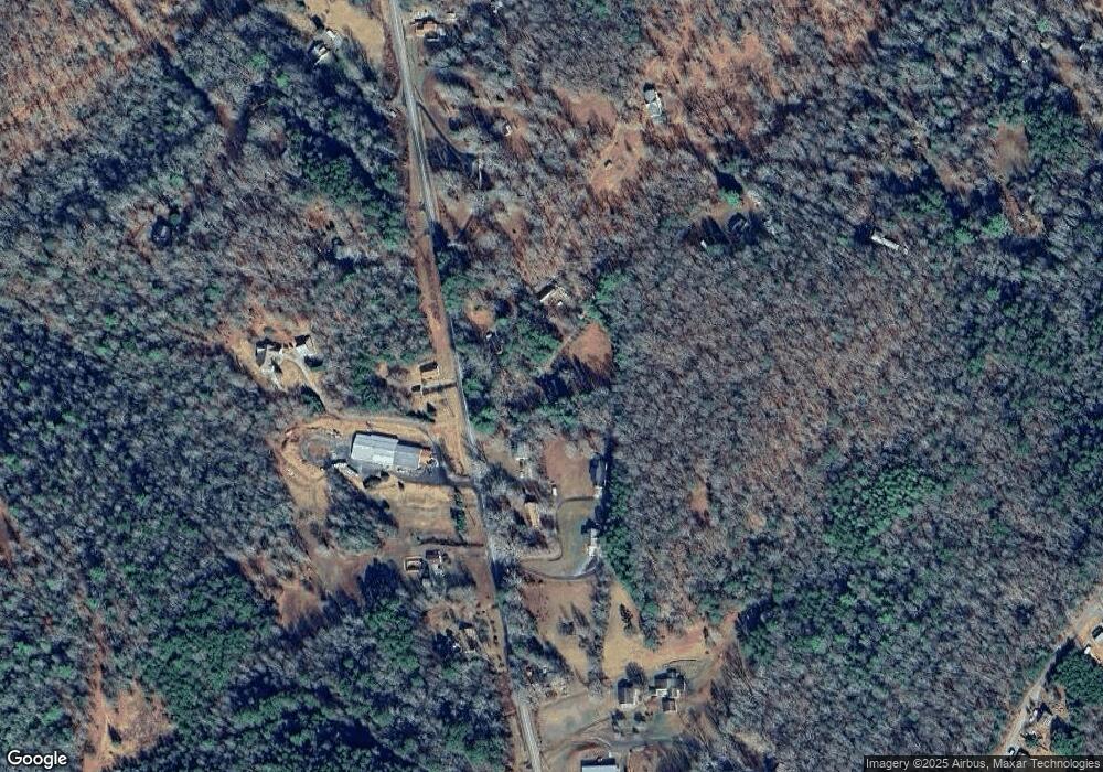
Map
Nearby Homes
- 3058 River Rd
- 162 Little Falls Dr
- LT 26 Arbor Creek Trail
- Lot 40 Wolf Creek Estate
- 35 Arbor Cir
- 11 Arbor Creek Trail
- 21 Arbor Creek Trail
- 149 Happy Hollow Ln
- 6 Arbor Creek Trail
- 2 Arbor Creek Trail
- 10 Arbor Creek Trail
- 2018 Mineral Bluff Hwy
- 250 Wolf Creek Mountain Rd
- 250 Wolf Creek Mountain Rd Unit 19
- 195 Wolf Creek Mountain Rd
- 0 Jade Ln
- 138 Wolf Creek Estate
- Tract 3 Old Mill Rd
- 4AC. Old Mill Rd
- 65 Wolf Creek Estate
- 93 W R McDonald Rd
- 201 Wr McDonald Rd
- 3097 Mineral Bluff Hwy
- 3069 Mineral Bluff Hwy
- 3113 Mineral Bluff Hwy
- 0 W R McDonald Dr
- 2855 Mineral Bluff Hwy
- 204 W R McDonald Rd
- 2924 Mineral Bluff Hwy
- 3152 Mineral Bluff Hwy
- 3010 Mineral Bluff Hwy
- 3261 Mineral Bluff Hwy
- 3217 Mineral Bluff Hwy
- 2811 Mineral Bluff Hwy
- 2852 Mineral Bluff Hwy
- 3225 Mineral Bluff Hwy
- 2916 Mineral Bluff Hwy
- 367 W R McDonald Rd
- 111 Violet Ln
- 78 Violet Ln