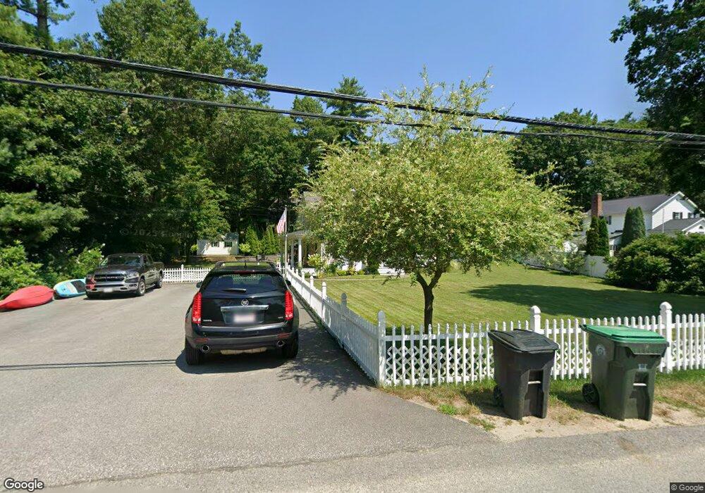
48 Waltham Ave Marshfield, MA 02050
Estimated Value: $709,954 - $814,000
3
Beds
2
Baths
1,600
Sq Ft
$474/Sq Ft
Est. Value
About This Home
This home is located at 48 Waltham Ave, Marshfield, MA 02050 and is currently estimated at $757,989, approximately $473 per square foot. 48 Waltham Ave is a home located in Plymouth County with nearby schools including South River, Furnace Brook Middle School, and Marshfield High School.
Ownership History
Date
Name
Owned For
Owner Type
Purchase Details
Closed on
Aug 21, 2006
Sold by
Dunnington Kathy A and Ostiguy Brian M
Bought by
Ostiguy Brian M and Ostiguy Deborah E
Current Estimated Value
Purchase Details
Closed on
Apr 19, 2005
Sold by
Pearl John C
Bought by
Ostiguy Brian M and Ostiguy Deborah E
Purchase Details
Closed on
Aug 26, 1999
Sold by
Fassnacht Robin A and Fassnacht Philip W
Bought by
Ostiguy Deborah E and Ostiguy Brian M
Purchase Details
Closed on
Sep 18, 1990
Sold by
Lauzon Robert W
Bought by
Lotti Robin A
Create a Home Valuation Report for This Property
The Home Valuation Report is an in-depth analysis detailing your home's value as well as a comparison with similar homes in the area
Home Values in the Area
Average Home Value in this Area
Purchase History
| Date | Buyer | Sale Price | Title Company |
|---|---|---|---|
| Ostiguy Brian M | -- | -- | |
| Ostiguy Brian M | $22,000 | -- | |
| Ostiguy Deborah E | $196,500 | -- | |
| Lotti Robin A | $41,000 | -- |
Source: Public Records
Mortgage History
| Date | Status | Borrower | Loan Amount |
|---|---|---|---|
| Previous Owner | Lotti Robin A | $145,000 |
Source: Public Records
Tax History Compared to Growth
Tax History
| Year | Tax Paid | Tax Assessment Tax Assessment Total Assessment is a certain percentage of the fair market value that is determined by local assessors to be the total taxable value of land and additions on the property. | Land | Improvement |
|---|---|---|---|---|
| 2025 | $6,456 | $652,100 | $262,700 | $389,400 |
| 2024 | $6,286 | $605,000 | $252,600 | $352,400 |
| 2023 | $5,974 | $539,900 | $232,400 | $307,500 |
| 2022 | $5,974 | $461,300 | $200,100 | $261,200 |
| 2021 | $5,699 | $432,100 | $200,100 | $232,000 |
| 2020 | $5,297 | $397,400 | $171,800 | $225,600 |
| 2019 | $5,146 | $384,600 | $171,800 | $212,800 |
| 2018 | $5,004 | $374,300 | $165,700 | $208,600 |
| 2017 | $4,931 | $359,400 | $165,700 | $193,700 |
| 2016 | $4,809 | $346,500 | $165,700 | $180,800 |
| 2015 | $4,443 | $334,300 | $165,700 | $168,600 |
| 2014 | $4,334 | $326,100 | $165,700 | $160,400 |
Source: Public Records
Map
Nearby Homes
- 15 Wyoming St
- 25 Wyoming St
- 0 Wyoming St
- 29 Wyoming St
- 73 California St
- 49 Waltham Ave
- 0 Essex Rd
- 37 Waltham Ave
- 65 Waltham Ave
- 12 Wyoming St
- 26 Waltham Ave
- 73 Springfield Ave
- 31 Montana St
- lot 72 Springfield Ave
- 99 California St
- 82 Waltham Ave
- 363 Ferry St
- 105 California St
- 72 Springfield Ave
- 66 Springfield Ave