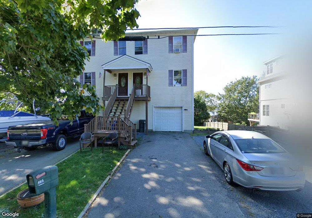
48 Warren Ave Unit 1 Middletown, RI 02842
Estimated Value: $653,000 - $1,028,000
3
Beds
3
Baths
2,200
Sq Ft
$348/Sq Ft
Est. Value
About This Home
This home is located at 48 Warren Ave Unit 1, Middletown, RI 02842 and is currently estimated at $766,039, approximately $348 per square foot. 48 Warren Ave Unit 1 is a home located in Newport County with nearby schools including Middletown High School, St Michael's Country Day School, and St George's School.
Ownership History
Date
Name
Owned For
Owner Type
Purchase Details
Closed on
May 27, 2022
Sold by
Brigham David E
Bought by
Brigham David E and Brigham Natalia F
Current Estimated Value
Home Financials for this Owner
Home Financials are based on the most recent Mortgage that was taken out on this home.
Original Mortgage
$281,707
Outstanding Balance
$232,730
Interest Rate
4.38%
Mortgage Type
Stand Alone Refi Refinance Of Original Loan
Estimated Equity
$533,309
Create a Home Valuation Report for This Property
The Home Valuation Report is an in-depth analysis detailing your home's value as well as a comparison with similar homes in the area
Home Values in the Area
Average Home Value in this Area
Purchase History
| Date | Buyer | Sale Price | Title Company |
|---|---|---|---|
| Brigham David E | -- | Old Republic Title |
Source: Public Records
Mortgage History
| Date | Status | Borrower | Loan Amount |
|---|---|---|---|
| Open | Brigham David E | $281,707 |
Source: Public Records
Tax History Compared to Growth
Tax History
| Year | Tax Paid | Tax Assessment Tax Assessment Total Assessment is a certain percentage of the fair market value that is determined by local assessors to be the total taxable value of land and additions on the property. | Land | Improvement |
|---|---|---|---|---|
| 2025 | $4,855 | $411,800 | $0 | $411,800 |
| 2024 | $4,637 | $411,800 | $0 | $411,800 |
| 2023 | $3,840 | $305,000 | $0 | $305,000 |
| 2022 | $3,666 | $305,000 | $0 | $305,000 |
| 2021 | $3,666 | $305,000 | $0 | $305,000 |
| 2020 | $4,299 | $312,400 | $0 | $312,400 |
| 2018 | $4,296 | $312,400 | $0 | $312,400 |
| 2016 | $4,341 | $281,500 | $0 | $281,500 |
| 2015 | $4,234 | $281,500 | $0 | $281,500 |
| 2014 | $4,445 | $276,600 | $0 | $276,600 |
| 2013 | $4,345 | $276,600 | $0 | $276,600 |
Source: Public Records
Map
Nearby Homes
- 84 Allston Ave
- 65 Seascape Ave
- 162 Center Ave
- 118 Wolcott Ave
- 140 Tuckerman Ave
- 0 Wolcott Ave
- 4 James St
- 129 Bliss Mine Rd
- 78 Ellery Rd
- 55 John Clarke Rd Unit 8
- 55 John Clarke Rd Unit 3
- 36 Kay Blvd
- 128 Eustis Ave
- 103 Champlin Place N
- 198 Gibbs Ave
- 8 Champlin St
- 138 Green End Ave
- 78 Rhode Island Ave Unit 6
- 78 Rhode Island Ave Unit 8
- 1 Shangri-La Ln
- 48 Warren Ave Unit 2
- 48 Warren Ave
- 54 Warren Ave
- 38 Warren Ave
- 25 Warren Ave
- 34 Warren Ave Unit A
- 49 Warren Ave
- 62 Warren Ave
- 111 Aquidneck Ave
- 43 Warren Ave
- 57 Warren Ave
- 89-95 Aquidneck Ave
- 107 Aquidneck Ave
- 30 Warren Ave
- 30 Warren Ave Unit A
- 65 Warren Ave
- 35 Warren Ave
- 113 Aquidneck Ave
- 109 Aquidneck Ave
- 109 Aquidneck Ave Unit B