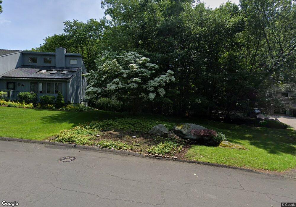
48 Wilder Rd Stamford, CT 06905
Turn of the River-Newfield NeighborhoodEstimated Value: $839,000 - $1,095,000
3
Beds
3
Baths
1,796
Sq Ft
$516/Sq Ft
Est. Value
About This Home
This home is located at 48 Wilder Rd, Stamford, CT 06905 and is currently estimated at $927,259, approximately $516 per square foot. 48 Wilder Rd is a home located in Fairfield County with nearby schools including Davenport Ridge Elementary School, Rippowam Middle School, and Stamford High School.
Ownership History
Date
Name
Owned For
Owner Type
Purchase Details
Closed on
Aug 18, 2004
Sold by
Buckler David and Buckler Daris
Bought by
Balcombe Michael L
Current Estimated Value
Home Financials for this Owner
Home Financials are based on the most recent Mortgage that was taken out on this home.
Original Mortgage
$488,000
Outstanding Balance
$235,866
Interest Rate
5.62%
Mortgage Type
Purchase Money Mortgage
Estimated Equity
$691,393
Purchase Details
Closed on
Aug 12, 2002
Sold by
Beltramini Ciro O and Aliberton Maria C
Bought by
Buckler David and Buckler Daris
Home Financials for this Owner
Home Financials are based on the most recent Mortgage that was taken out on this home.
Original Mortgage
$395,040
Interest Rate
5.5%
Mortgage Type
Purchase Money Mortgage
Purchase Details
Closed on
Jun 7, 1990
Sold by
Carver Robert
Bought by
Beltramini Ciro
Create a Home Valuation Report for This Property
The Home Valuation Report is an in-depth analysis detailing your home's value as well as a comparison with similar homes in the area
Home Values in the Area
Average Home Value in this Area
Purchase History
| Date | Buyer | Sale Price | Title Company |
|---|---|---|---|
| Balcombe Michael L | $610,000 | -- | |
| Balcombe Michael L | $610,000 | -- | |
| Buckler David | $493,800 | -- | |
| Buckler David | $493,800 | -- | |
| Beltramini Ciro | $283,750 | -- |
Source: Public Records
Mortgage History
| Date | Status | Borrower | Loan Amount |
|---|---|---|---|
| Open | Beltramini Ciro | $488,000 | |
| Closed | Beltramini Ciro | $488,000 | |
| Previous Owner | Beltramini Ciro | $395,040 |
Source: Public Records
Tax History Compared to Growth
Tax History
| Year | Tax Paid | Tax Assessment Tax Assessment Total Assessment is a certain percentage of the fair market value that is determined by local assessors to be the total taxable value of land and additions on the property. | Land | Improvement |
|---|---|---|---|---|
| 2025 | $11,711 | $494,960 | $327,860 | $167,100 |
| 2024 | $11,453 | $494,960 | $327,860 | $167,100 |
| 2023 | $12,305 | $494,960 | $327,860 | $167,100 |
| 2022 | $10,276 | $384,280 | $243,260 | $141,020 |
| 2021 | $10,164 | $384,280 | $243,260 | $141,020 |
| 2020 | $9,903 | $384,280 | $243,260 | $141,020 |
| 2019 | $9,903 | $384,280 | $243,260 | $141,020 |
| 2018 | $9,538 | $384,280 | $243,260 | $141,020 |
| 2017 | $9,411 | $361,960 | $223,690 | $138,270 |
| 2016 | $9,147 | $361,960 | $223,690 | $138,270 |
| 2015 | $8,908 | $361,960 | $223,690 | $138,270 |
| 2014 | $8,611 | $361,960 | $223,690 | $138,270 |
Source: Public Records
Map
Nearby Homes
- 181 Crystal Lake Rd
- 27 Emma Rd
- 20 Wild Horse Rd
- 4 Elaine Dr
- 157 Woodridge Dr S
- 56 Bradley Place
- 11 Bel Aire Dr
- 38 Lancaster Place
- 31 Rosano Rd
- 500 High Ridge Rd
- 81 Woodridge Dr S
- 20 Walnut Ridge Ln
- 226 Cedar Heights Rd
- 6 Walnut Ridge Ct
- 160 Wire Mill Rd
- 442 Pepper Ridge Rd
- 14 Barmore Dr
- 50 Long Hill Dr
- 28 Winter St
- 1 Robinson Dr