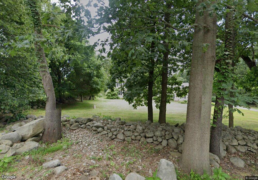
48 Wood Rd Redding, CT 06896
Estimated Value: $940,835 - $1,101,000
4
Beds
3
Baths
3,143
Sq Ft
$328/Sq Ft
Est. Value
About This Home
This home is located at 48 Wood Rd, Redding, CT 06896 and is currently estimated at $1,029,959, approximately $327 per square foot. 48 Wood Rd is a home located in Fairfield County with nearby schools including Redding Elementary School, John Read Middle School, and Joel Barlow High School.
Ownership History
Date
Name
Owned For
Owner Type
Purchase Details
Closed on
Aug 5, 2003
Sold by
Scalo Ralph Fank and Scalo Venetiaozzi
Bought by
Catterino Leone and Catterino Enza
Current Estimated Value
Purchase Details
Closed on
Oct 8, 1992
Sold by
Blair Donald W and Blair Patricia L
Bought by
Sculo Ralph F and Sculo Venetia O
Create a Home Valuation Report for This Property
The Home Valuation Report is an in-depth analysis detailing your home's value as well as a comparison with similar homes in the area
Home Values in the Area
Average Home Value in this Area
Purchase History
| Date | Buyer | Sale Price | Title Company |
|---|---|---|---|
| Catterino Leone | $620,000 | -- | |
| Sculo Ralph F | $310,000 | -- |
Source: Public Records
Mortgage History
| Date | Status | Borrower | Loan Amount |
|---|---|---|---|
| Open | Sculo Ralph F | $403,000 | |
| Closed | Sculo Ralph F | $10,000 | |
| Closed | Sculo Ralph F | $50,000 | |
| Closed | Sculo Ralph F | $25,000 |
Source: Public Records
Tax History Compared to Growth
Tax History
| Year | Tax Paid | Tax Assessment Tax Assessment Total Assessment is a certain percentage of the fair market value that is determined by local assessors to be the total taxable value of land and additions on the property. | Land | Improvement |
|---|---|---|---|---|
| 2025 | $14,132 | $478,400 | $163,400 | $315,000 |
| 2024 | $13,740 | $478,400 | $163,400 | $315,000 |
| 2023 | $13,247 | $478,400 | $163,400 | $315,000 |
| 2022 | $13,026 | $390,700 | $167,800 | $222,900 |
| 2021 | $12,831 | $390,700 | $167,800 | $222,900 |
| 2020 | $12,831 | $390,700 | $167,800 | $222,900 |
| 2019 | $12,831 | $390,700 | $167,800 | $222,900 |
| 2018 | $12,393 | $390,700 | $167,800 | $222,900 |
| 2017 | $10,945 | $369,500 | $168,100 | $201,400 |
| 2016 | $10,804 | $369,500 | $168,100 | $201,400 |
| 2015 | $10,682 | $369,500 | $168,100 | $201,400 |
| 2014 | $10,682 | $369,500 | $168,100 | $201,400 |
Source: Public Records
Map
Nearby Homes
- 28 Sunnyview Dr
- 477 Newtown Turnpike
- 11 Marywood Rd
- 193 Chestnut Ridge Rd
- 38 Aunt Pattys Ln W
- 4 Stone Dam Rd
- 241 Black Rock Turnpike
- 173 Chestnut Ridge Rd
- 2 Longwood Dr
- 4 Wentworth Dr
- 6 Katrina Cir
- 145 Limekiln Rd
- 22 Lonetown Rd
- 41 Sullivan Dr
- 66 Putnam Park Rd
- 9 Vona Way
- 12 Canaan Dr
- 27 Long Meadow Ln
- lot22 Vona Way
- 6 Vona Way