48 Woodside Dr Millville, PA 17846
Estimated Value: $193,191 - $338,000
--
Bed
--
Bath
1,428
Sq Ft
$179/Sq Ft
Est. Value
About This Home
This home is located at 48 Woodside Dr, Millville, PA 17846 and is currently estimated at $256,298, approximately $179 per square foot. 48 Woodside Dr is a home located in Columbia County with nearby schools including Central Columbia Elementary School, Central Columbia Middle School, and Central Columbia Senior High School.
Ownership History
Date
Name
Owned For
Owner Type
Purchase Details
Closed on
Dec 29, 2021
Sold by
Chapin Carl A and Hack Kalie D
Bought by
Wolfgang Kalie Dawn
Current Estimated Value
Purchase Details
Closed on
Apr 30, 2007
Sold by
Peak Brandon S and Field Danelle E
Bought by
Chapin Carl A and Hack Kalie D
Home Financials for this Owner
Home Financials are based on the most recent Mortgage that was taken out on this home.
Original Mortgage
$136,360
Interest Rate
6.21%
Mortgage Type
FHA
Purchase Details
Closed on
Aug 3, 2005
Sold by
Kuntz Donna M
Bought by
Peak Brandon S and Field Danelle E
Home Financials for this Owner
Home Financials are based on the most recent Mortgage that was taken out on this home.
Original Mortgage
$120,023
Interest Rate
5.66%
Mortgage Type
FHA
Create a Home Valuation Report for This Property
The Home Valuation Report is an in-depth analysis detailing your home's value as well as a comparison with similar homes in the area
Home Values in the Area
Average Home Value in this Area
Purchase History
| Date | Buyer | Sale Price | Title Company |
|---|---|---|---|
| Wolfgang Kalie Dawn | -- | None Available | |
| Chapin Carl A | $138,500 | None Available | |
| Peak Brandon S | $121,000 | None Available |
Source: Public Records
Mortgage History
| Date | Status | Borrower | Loan Amount |
|---|---|---|---|
| Previous Owner | Chapin Carl A | $136,360 | |
| Previous Owner | Peak Brandon S | $120,023 |
Source: Public Records
Tax History Compared to Growth
Tax History
| Year | Tax Paid | Tax Assessment Tax Assessment Total Assessment is a certain percentage of the fair market value that is determined by local assessors to be the total taxable value of land and additions on the property. | Land | Improvement |
|---|---|---|---|---|
| 2025 | $2,505 | $38,674 | $0 | $0 |
| 2024 | $2,439 | $38,674 | $7,784 | $30,890 |
| 2023 | $2,323 | $38,674 | $7,784 | $30,890 |
| 2022 | $2,323 | $38,674 | $7,784 | $30,890 |
| 2021 | $2,323 | $38,674 | $7,784 | $30,890 |
| 2020 | $2,239 | $38,674 | $7,784 | $30,890 |
| 2019 | $2,190 | $38,674 | $7,784 | $30,890 |
| 2018 | $2,190 | $38,674 | $7,784 | $30,890 |
| 2017 | $2,161 | $38,674 | $7,784 | $30,890 |
| 2016 | -- | $38,674 | $7,784 | $30,890 |
| 2015 | -- | $38,674 | $7,784 | $30,890 |
| 2014 | -- | $38,674 | $7,784 | $30,890 |
Source: Public Records
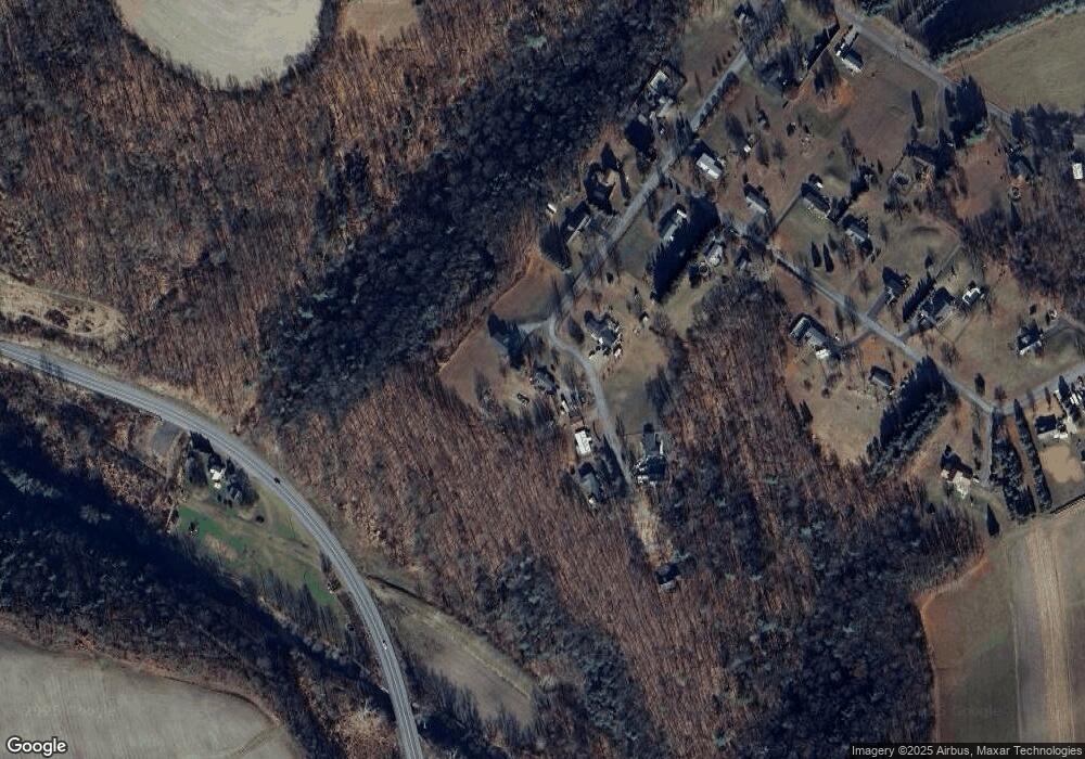
Map
Nearby Homes
- 2622 Johnson Rd
- 4 Eyersgrove Rd
- 298 Peacock Corners Rd
- 29 N End Ln
- 2910 Pennsylvania 42
- 60 3rd St
- 259 N Chestnut St
- 459-463 Danville Rd
- 13 Washingtonville Rd
- 370 Kline Rd
- 7101 Julian Dr
- 7103 Julian Dr
- 8104 Julian Dr
- 7102 Julian Dr
- 8103 Julian Dr
- 7104 Julian Dr
- Barberry Plan at Horse Farm Court
- Lily Plan at Horse Farm Court
- 8102 LT 23 Julian Dr
- 7104 LT 5 Julian Dr
- 58 Woodside Dr
- 47 Woodside Dr
- 62 Woodside Dr
- 59 Woodside Dr
- 44 Woodside Dr
- 36 Woodside Dr
- 8069 Hillside Dr
- 28 Woodside Dr
- 8065 Hillside Dr
- 70 Woodside Dr
- 23 Woodside Dr
- 8051 Hillside Dr
- 8064 Hillside Dr
- 20 Woodside Dr
- 80588060 Hillside Dr
- 8043 Hillside Dr
- 2085 State Route 42
- 8058 Hillside Dr
- 3 Woodside Dr
- 8054 Hillside Dr