Estimated Value: $785,367 - $882,000
Studio
--
Bath
2,071
Sq Ft
$406/Sq Ft
Est. Value
About This Home
This home is located at 48 Worcester Dr, Wayne, NJ 07470 and is currently estimated at $839,842, approximately $405 per square foot. 48 Worcester Dr is a home located in Passaic County with nearby schools including Albert P. Terhune Elementary School, Schuyler-Colfax Middle School, and Wayne Hills High School.
Ownership History
Date
Name
Owned For
Owner Type
Purchase Details
Closed on
Sep 26, 2024
Sold by
Orourke Paul and Orourke Britt
Bought by
Orurke Kevin
Current Estimated Value
Purchase Details
Closed on
Dec 15, 2009
Sold by
Szutowicz Paul M and Szutowicz Elaine
Bought by
Orourke Paul and Orourke Britt
Purchase Details
Closed on
Jan 14, 2000
Sold by
Szutowicz Paul M and Szutowicz Elaine
Bought by
Szutowicz Paul M and Szutowicz Elaine
Purchase Details
Closed on
Dec 10, 1998
Sold by
Wilson John C and Wilson Roberta G
Bought by
Szutowicz Paul M
Home Financials for this Owner
Home Financials are based on the most recent Mortgage that was taken out on this home.
Original Mortgage
$351,000
Interest Rate
5.5%
Mortgage Type
Stand Alone First
Create a Home Valuation Report for This Property
The Home Valuation Report is an in-depth analysis detailing your home's value as well as a comparison with similar homes in the area
Home Values in the Area
Average Home Value in this Area
Purchase History
| Date | Buyer | Sale Price | Title Company |
|---|---|---|---|
| Orurke Kevin | -- | Fidelity National Title | |
| Orurke Kevin | -- | Fidelity National Title | |
| Orourke Paul | $525,000 | -- | |
| Szutowicz Paul M | -- | -- | |
| Szutowicz Paul M | $390,000 | -- |
Source: Public Records
Mortgage History
| Date | Status | Borrower | Loan Amount |
|---|---|---|---|
| Previous Owner | Szutowicz Paul M | $351,000 |
Source: Public Records
Tax History
| Year | Tax Paid | Tax Assessment Tax Assessment Total Assessment is a certain percentage of the fair market value that is determined by local assessors to be the total taxable value of land and additions on the property. | Land | Improvement |
|---|---|---|---|---|
| 2025 | $17,594 | $295,900 | $60,000 | $235,900 |
| 2024 | $16,920 | $295,900 | $60,000 | $235,900 |
| 2022 | $16,730 | $295,900 | $60,000 | $235,900 |
| 2021 | $16,712 | $295,900 | $60,000 | $235,900 |
| 2020 | $16,638 | $295,900 | $60,000 | $235,900 |
| 2019 | $16,316 | $295,900 | $60,000 | $235,900 |
| 2018 | $16,171 | $295,900 | $60,000 | $235,900 |
| 2017 | $16,023 | $295,900 | $60,000 | $235,900 |
| 2016 | $15,798 | $295,900 | $60,000 | $235,900 |
| 2015 | $15,609 | $295,900 | $60,000 | $235,900 |
| 2014 | $15,168 | $295,900 | $60,000 | $235,900 |
Source: Public Records
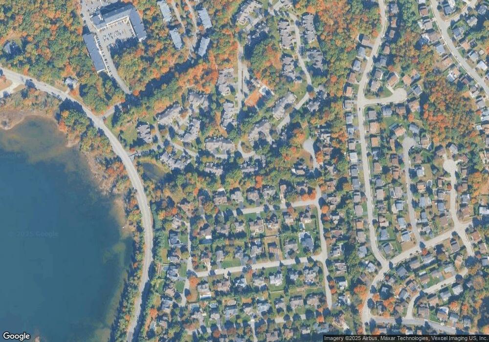
Map
Nearby Homes
- 3 Brandywine Rd
- 8605 Brittany Dr
- 8005 Brittany Dr
- 511 Brittany Dr
- 711 Cheyenne Dr
- 951 Scioto Dr
- 912 Cherokee Ln
- 96 Lions Head Dr E
- 168 Levinberg Ln
- 96 Lions Head Dr W
- 138 Levinberg Ln
- 104 Lionshead Dr W
- 307 Freemans Ln
- 315 Freemans Ln
- 873 Olentangy Rd
- 30 Perrin Dr
- 20 Parkside Ct
- 27 Grandview Dr
- 1666 Hamburg Turnpike
- 510 Hampton Hill Rd
- 52 Worcester Dr
- 44 Worcester Dr
- 56 Worcester Dr
- 40 Worcester Dr
- 60 Worcester Dr
- 64 Sturbridge Cir
- 68 Sturbridge Cir
- 36 Worcester Dr
- 43 Worcester Dr
- 47 Worcester Dr
- 39 Worcester Dr
- 60 Sturbridge Cir
- 32 Worcester Dr
- 72 Sturbridge Cir
- 35 Worcester Dr
- 64 Worcester Dr
- 51 Worcester Dr
- 186 Worcester Dr
- 31 Worcester Dr
- 55 Worcester Dr
Your Personal Tour Guide
Ask me questions while you tour the home.