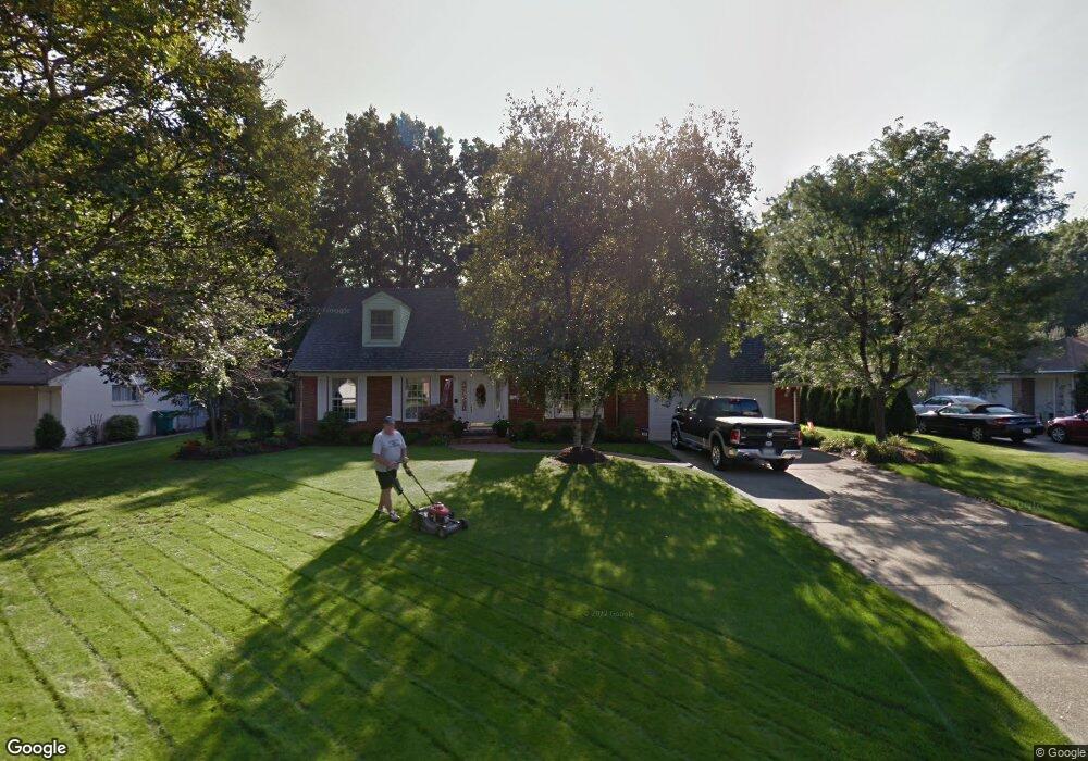
480 Boyd Dr Sharon, PA 16146
Estimated Value: $56,399 - $123,000
Studio
--
Bath
--
Sq Ft
9,191
Sq Ft Lot
About This Home
This home is located at 480 Boyd Dr, Sharon, PA 16146 and is currently estimated at $97,600. 480 Boyd Dr is a home located in Mercer County with nearby schools including Sharon High School, Saint John Paul II Elementary School, and St Stephens Lutheran Academy North.
Ownership History
Date
Name
Owned For
Owner Type
Purchase Details
Closed on
Nov 20, 2018
Sold by
Oskiera Ronald L
Bought by
Bosnjak John
Current Estimated Value
Purchase Details
Closed on
Jun 15, 2018
Sold by
Penn Housing Finance Ag
Bought by
Oskiera Ronald L
Purchase Details
Closed on
May 24, 2018
Sold by
Shilling Roni
Bought by
Pennsylvania Housing Fin
Purchase Details
Closed on
Aug 15, 2012
Sold by
Griffin Monica
Bought by
The City Of Sharon
Home Financials for this Owner
Home Financials are based on the most recent Mortgage that was taken out on this home.
Original Mortgage
$9,000
Interest Rate
3.56%
Mortgage Type
Purchase Money Mortgage
Purchase Details
Closed on
Sep 28, 2011
Sold by
Stevens Robert J and Stevens John C
Bought by
Griffin Monica
Home Financials for this Owner
Home Financials are based on the most recent Mortgage that was taken out on this home.
Original Mortgage
$50,681
Interest Rate
4.25%
Mortgage Type
FHA
Create a Home Valuation Report for This Property
The Home Valuation Report is an in-depth analysis detailing your home's value as well as a comparison with similar homes in the area
Home Values in the Area
Average Home Value in this Area
Purchase History
| Date | Buyer | Sale Price | Title Company |
|---|---|---|---|
| Bosnjak John | $33,000 | -- | |
| Oskiera Ronald L | $11,500 | -- | |
| Pennsylvania Housing Fin | -- | -- | |
| The City Of Sharon | $4,070 | None Available | |
| Griffin Monica | $52,000 | None Available |
Source: Public Records
Mortgage History
| Date | Status | Borrower | Loan Amount |
|---|---|---|---|
| Previous Owner | The City Of Sharon | $9,000 | |
| Previous Owner | Griffin Monica | $50,681 |
Source: Public Records
Tax History
| Year | Tax Paid | Tax Assessment Tax Assessment Total Assessment is a certain percentage of the fair market value that is determined by local assessors to be the total taxable value of land and additions on the property. | Land | Improvement |
|---|---|---|---|---|
| 2025 | $2,229 | $15,900 | $2,850 | $13,050 |
| 2024 | $2,229 | $15,900 | $2,850 | $13,050 |
| 2023 | $2,197 | $15,900 | $2,850 | $13,050 |
| 2022 | $2,149 | $15,900 | $2,850 | $13,050 |
| 2021 | $2,117 | $15,900 | $2,850 | $13,050 |
| 2020 | $2,117 | $15,900 | $2,850 | $13,050 |
| 2019 | $2,073 | $15,900 | $2,850 | $13,050 |
| 2018 | $2,028 | $15,900 | $2,850 | $13,050 |
| 2017 | $1,991 | $15,900 | $2,850 | $13,050 |
| 2016 | -- | $15,900 | $2,850 | $13,050 |
| 2015 | -- | $15,900 | $2,850 | $13,050 |
| 2014 | -- | $15,900 | $2,850 | $13,050 |
Source: Public Records
Map
Nearby Homes
- 513 Dougherty Ave
- 1359 Highland Rd
- 340 Carley Ave
- 242 Dougherty Ave
- 195 Jonathan Place
- 1283 Ashton Rd
- 677 Cohassett Dr
- 84 Buhl Blvd
- 651 N Buhl Farm Dr
- 96 N Crescent Dr
- 504 N Buhl Farm Dr
- 2119 Woodbine Dr
- 71 Lyle Dr
- 371 Case Ave
- 2179 Woodbine Dr
- 2189 Woodbine Dr
- 140 Case Ave
- 120 Case Ave
- 2239 Woodbine Dr
- 354 Euclid Ave
Your Personal Tour Guide
Ask me questions while you tour the home.