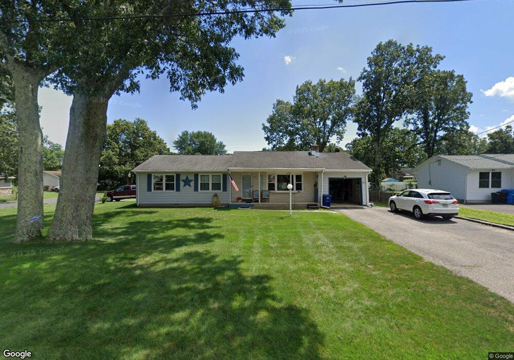
480 Commonwealth Blvd Manchester, NJ 08759
Manchester Township NeighborhoodEstimated Value: $425,000 - $514,000
3
Beds
2
Baths
1,356
Sq Ft
$347/Sq Ft
Est. Value
About This Home
This home is located at 480 Commonwealth Blvd, Manchester, NJ 08759 and is currently estimated at $470,988, approximately $347 per square foot. 480 Commonwealth Blvd is a home located in Ocean County with nearby schools including Manchester Township High School and Ocean County Christian Academy.
Ownership History
Date
Name
Owned For
Owner Type
Purchase Details
Closed on
Jul 26, 2005
Sold by
Caprio Michael and Caprio Cindy
Bought by
Bryant John R and Bryant Janet L
Current Estimated Value
Home Financials for this Owner
Home Financials are based on the most recent Mortgage that was taken out on this home.
Original Mortgage
$215,000
Outstanding Balance
$110,948
Interest Rate
5.68%
Mortgage Type
New Conventional
Estimated Equity
$360,040
Create a Home Valuation Report for This Property
The Home Valuation Report is an in-depth analysis detailing your home's value as well as a comparison with similar homes in the area
Home Values in the Area
Average Home Value in this Area
Purchase History
| Date | Buyer | Sale Price | Title Company |
|---|---|---|---|
| Bryant John R | $269,000 | -- |
Source: Public Records
Mortgage History
| Date | Status | Borrower | Loan Amount |
|---|---|---|---|
| Open | Bryant John R | $215,000 |
Source: Public Records
Tax History Compared to Growth
Tax History
| Year | Tax Paid | Tax Assessment Tax Assessment Total Assessment is a certain percentage of the fair market value that is determined by local assessors to be the total taxable value of land and additions on the property. | Land | Improvement |
|---|---|---|---|---|
| 2025 | $5,114 | $425,600 | $289,900 | $135,700 |
| 2024 | $4,603 | $208,300 | $85,800 | $122,500 |
| 2023 | $4,364 | $208,300 | $85,800 | $122,500 |
| 2022 | $4,614 | $208,300 | $85,800 | $122,500 |
| 2021 | $4,264 | $208,300 | $85,800 | $122,500 |
| 2020 | $4,395 | $208,300 | $85,800 | $122,500 |
| 2019 | $4,925 | $192,000 | $85,100 | $106,900 |
| 2018 | $4,906 | $192,000 | $85,100 | $106,900 |
| 2017 | $4,925 | $192,000 | $85,100 | $106,900 |
| 2016 | $4,615 | $192,000 | $85,100 | $106,900 |
| 2015 | $4,525 | $192,000 | $85,100 | $106,900 |
| 2014 | $4,427 | $192,000 | $85,100 | $106,900 |
Source: Public Records
Map
Nearby Homes
- 609 Commonwealth Blvd
- 625 Commonwealth Blvd
- 600 Lawrence Ave
- 51 Colt Place
- 1012 Bismarck St
- 701 Madison Ave
- 716 Commonwealth Blvd
- 733 Commonwealth Blvd
- 835B Liverpool Cir
- 800 12th Ave
- 801 Commonwealth Blvd
- 612 Bismarck St
- 2132 Tenth Ave
- 633 Amsterdam Ave
- 501 Bismarck St
- 800 Northampton Blvd
- 833 12th Ave
- 914A Liverpool Cir
- 1991 Route 37 W Unit 177
- 949A Liverpool Cir
- 464 Commonwealth Blvd
- 381 Colt Place
- 396 Colt Place
- 400 Commonwealth Blvd
- 380 Colt Place
- 481 Commonwealth Blvd
- 448 Commonwealth Blvd
- 465 Commonwealth Blvd
- 501 Commonwealth Blvd
- 373 Colt Place
- 417 10th Ave
- 372 Colt Place
- 532 Commonwealth Blvd
- 517 Commonwealth Blvd
- 432 Commonwealth Blvd
- 2 Ridgeview Dr
- 381 Savannah Rd
- 10 Laketree Ct
- 8 Laketree Ct
- 375 10th Ave