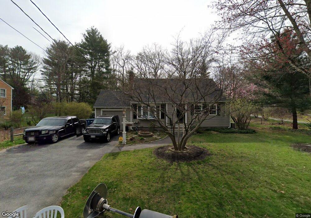
480 Dutton Rd Sudbury, MA 01776
Estimated Value: $754,000 - $854,000
3
Beds
2
Baths
1,412
Sq Ft
$555/Sq Ft
Est. Value
About This Home
This home is located at 480 Dutton Rd, Sudbury, MA 01776 and is currently estimated at $783,263, approximately $554 per square foot. 480 Dutton Rd is a home located in Middlesex County with nearby schools including Peter Noyes Elementary School, Ephraim Curtis Middle School, and Lincoln-Sudbury Regional High School.
Ownership History
Date
Name
Owned For
Owner Type
Purchase Details
Closed on
Jul 8, 2002
Sold by
Galligan Frances L
Bought by
Possi David S and Hornbeck Diane L
Current Estimated Value
Home Financials for this Owner
Home Financials are based on the most recent Mortgage that was taken out on this home.
Original Mortgage
$293,600
Outstanding Balance
$125,433
Interest Rate
6.82%
Mortgage Type
Purchase Money Mortgage
Estimated Equity
$657,830
Create a Home Valuation Report for This Property
The Home Valuation Report is an in-depth analysis detailing your home's value as well as a comparison with similar homes in the area
Home Values in the Area
Average Home Value in this Area
Purchase History
| Date | Buyer | Sale Price | Title Company |
|---|---|---|---|
| Possi David S | $367,000 | -- |
Source: Public Records
Mortgage History
| Date | Status | Borrower | Loan Amount |
|---|---|---|---|
| Open | Possi David S | $293,600 |
Source: Public Records
Tax History
| Year | Tax Paid | Tax Assessment Tax Assessment Total Assessment is a certain percentage of the fair market value that is determined by local assessors to be the total taxable value of land and additions on the property. | Land | Improvement |
|---|---|---|---|---|
| 2025 | $9,001 | $614,800 | $382,400 | $232,400 |
| 2024 | $8,690 | $594,800 | $371,200 | $223,600 |
| 2023 | $8,741 | $554,300 | $337,400 | $216,900 |
| 2022 | $8,628 | $478,000 | $309,700 | $168,300 |
| 2021 | $8,496 | $451,200 | $309,700 | $141,500 |
| 2020 | $8,325 | $451,200 | $309,700 | $141,500 |
| 2019 | $8,081 | $451,200 | $309,700 | $141,500 |
| 2018 | $8,002 | $446,300 | $313,300 | $133,000 |
| 2017 | $7,596 | $428,200 | $302,500 | $125,700 |
| 2016 | $7,330 | $411,800 | $290,900 | $120,900 |
| 2015 | $6,985 | $396,900 | $277,300 | $119,600 |
| 2014 | $6,936 | $384,700 | $267,500 | $117,200 |
Source: Public Records
Map
Nearby Homes
- 557 Dutton Rd Unit 2
- 53 Pine St
- 30 Kendall Rd
- 15 Harness Ln
- 30 Harness Ln
- 11 Great Lake Dr
- 62 Churchill St
- 11 October Rd
- 45 Webster Cir
- 30 Rolling Ln
- 0 Robbins Rd
- 22 Barracks Rd Unit 22
- 55 Widow Rites Ln
- 45 Widow Rites Ln
- 123 Dutton Rd
- 111 Willis Rd
- 0 Boston Post Rd
- 725 Boston Post Rd Unit 12
- 11 Farmstead Ln Unit 11
- 24 Woodland Rd
- 486 Dutton Rd
- 474 Dutton Rd
- 12 Magnolia Rd
- 215 Pratts Mill Rd
- 481 Dutton Rd
- 211 Pratts Mill Rd
- 8 Barton Dr
- 468 Dutton Rd
- 207 Pratts Mill Rd
- 489 Dutton Rd
- 18 Magnolia Rd
- 7 Barton Dr
- 493 Dutton Rd
- 201 Pratts Mill Rd
- 21 Magnolia Rd
- 21 Sycamore Rd
- 197 Pratts Mill Rd
- 460 Dutton Rd
- 24 Magnolia Rd
- 202 Pratts Mill Rd
Your Personal Tour Guide
Ask me questions while you tour the home.