480 Harrell Rd Climax, GA 39834
Estimated Value: $315,000 - $480,669
Studio
3
Baths
2,720
Sq Ft
$141/Sq Ft
Est. Value
About This Home
This home is located at 480 Harrell Rd, Climax, GA 39834 and is currently estimated at $383,167, approximately $140 per square foot. 480 Harrell Rd is a home located in Decatur County with nearby schools including Bainbridge High School.
Ownership History
Date
Name
Owned For
Owner Type
Purchase Details
Closed on
May 30, 2019
Sold by
Bank Of America Na
Bought by
Williams Winston
Current Estimated Value
Purchase Details
Closed on
Apr 2, 2019
Sold by
Harrell Gary
Bought by
Bank Of America Na
Purchase Details
Closed on
Nov 19, 2010
Sold by
Harrell Gary C
Bought by
Harrell Gary C and Cox Harrell Mary Ann
Home Financials for this Owner
Home Financials are based on the most recent Mortgage that was taken out on this home.
Original Mortgage
$765,000
Interest Rate
4.3%
Mortgage Type
Reverse Mortgage Home Equity Conversion Mortgage
Purchase Details
Closed on
Apr 21, 2009
Sold by
Harrell Mary Ann Cox
Bought by
Harrell Gary C
Home Financials for this Owner
Home Financials are based on the most recent Mortgage that was taken out on this home.
Original Mortgage
$675,750
Interest Rate
3.66%
Mortgage Type
Reverse Mortgage Home Equity Conversion Mortgage
Create a Home Valuation Report for This Property
The Home Valuation Report is an in-depth analysis detailing your home's value as well as a comparison with similar homes in the area
Purchase History
| Date | Buyer | Sale Price | Title Company |
|---|---|---|---|
| Williams Winston | $233,700 | -- | |
| Bank Of America Na | $212,000 | -- | |
| Harrell Gary C | -- | -- | |
| Harrell Gary C | -- | -- |
Source: Public Records
Mortgage History
| Date | Status | Borrower | Loan Amount |
|---|---|---|---|
| Previous Owner | Harrell Gary C | $765,000 | |
| Previous Owner | Harrell Gary C | $675,750 |
Source: Public Records
Tax History
| Year | Tax Paid | Tax Assessment Tax Assessment Total Assessment is a certain percentage of the fair market value that is determined by local assessors to be the total taxable value of land and additions on the property. | Land | Improvement |
|---|---|---|---|---|
| 2025 | $3,904 | $156,692 | $36,354 | $120,338 |
| 2024 | $3,593 | $141,969 | $32,547 | $109,422 |
| 2023 | $3,586 | $141,969 | $32,547 | $109,422 |
| 2022 | $3,388 | $139,550 | $32,547 | $107,003 |
| 2021 | $3,326 | $128,046 | $24,821 | $103,225 |
| 2020 | $2,528 | $114,412 | $24,821 | $89,591 |
| 2019 | $3,468 | $108,942 | $24,821 | $84,121 |
| 2018 | $2,872 | $108,942 | $24,821 | $84,121 |
| 2017 | $3,418 | $108,942 | $24,821 | $84,121 |
| 2016 | $2,814 | $110,506 | $26,384 | $84,121 |
| 2015 | $2,832 | $110,506 | $26,384 | $84,121 |
| 2014 | $2,465 | $110,506 | $26,384 | $84,121 |
| 2013 | -- | $115,519 | $31,398 | $84,121 |
Source: Public Records
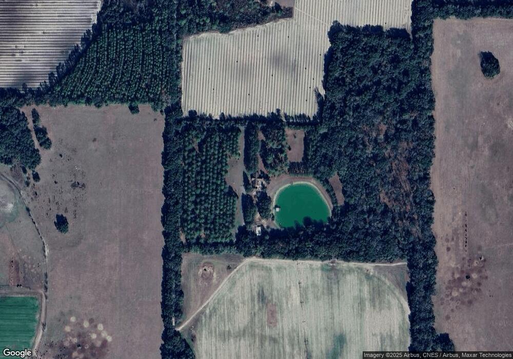
Map
Nearby Homes
- 0 Cumbie Rd
- 547 Eddie Avery Rd
- Tbd Cumbie Rd
- 0 Georgia 311
- 0 Eddie Avery Rd Unit 14399
- 217 Martin Rd
- 2970 Cooktown Rd
- 0 Cal Thomas Rd
- 8468 Branchville Rd
- 1 County Line Church Rd
- 114 Pr Harrell Rd
- 0 Georgia 65
- 0 Lone Oak Trail
- 0 Babcock Rd Unit 15587
- 533 Flint River Heights Rd
- 3573 Georgia 97
- 2865 Vada Rd
- 6170 Newton Hwy
- 6050 Newton Hwy
- 0 Greene Rd
Your Personal Tour Guide
Ask me questions while you tour the home.