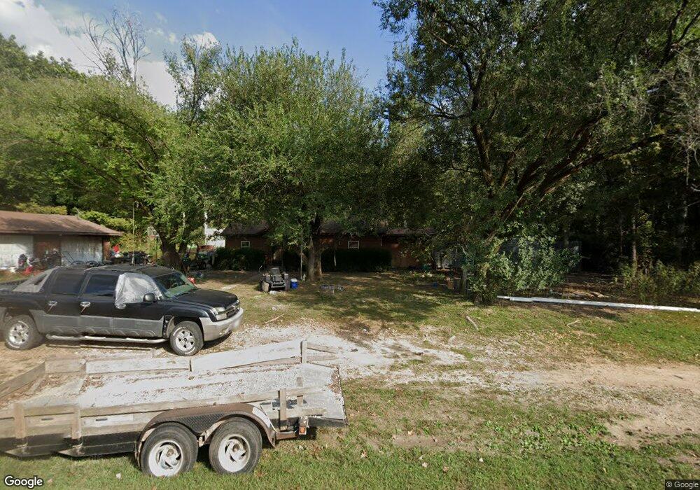
480 Highway 181 Cabool, MO 65689
Estimated Value: $111,000 - $149,000
Studio
--
Bath
926
Sq Ft
$140/Sq Ft
Est. Value
About This Home
This home is located at 480 Highway 181, Cabool, MO 65689 and is currently estimated at $130,000, approximately $140 per square foot. 480 Highway 181 is a home with nearby schools including Cabool Elementary School, Cabool Middle School, and Cabool High School.
Ownership History
Date
Name
Owned For
Owner Type
Purchase Details
Closed on
Jul 9, 2021
Sold by
Haywood Ronald Dean
Bought by
Summers Travis
Current Estimated Value
Purchase Details
Closed on
Apr 21, 2016
Sold by
Reagan Heather and Barbre Tiffany Rene
Bought by
Haywood Ronald Dean
Create a Home Valuation Report for This Property
The Home Valuation Report is an in-depth analysis detailing your home's value as well as a comparison with similar homes in the area
Purchase History
| Date | Buyer | Sale Price | Title Company |
|---|---|---|---|
| Summers Travis | -- | None Available | |
| Haywood Ronald Dean | -- | None Available |
Source: Public Records
Tax History
| Year | Tax Paid | Tax Assessment Tax Assessment Total Assessment is a certain percentage of the fair market value that is determined by local assessors to be the total taxable value of land and additions on the property. | Land | Improvement |
|---|---|---|---|---|
| 2025 | $345 | $8,470 | $0 | $0 |
| 2024 | $345 | $8,470 | $0 | $0 |
| 2023 | $347 | $8,470 | $0 | $0 |
| 2022 | $326 | $8,010 | $0 | $0 |
| 2020 | $253 | $6,320 | $0 | $0 |
| 2019 | $253 | $6,320 | $0 | $0 |
| 2018 | $233 | $5,850 | $0 | $0 |
| 2017 | $232 | $5,850 | $0 | $0 |
| 2016 | $232 | $5,850 | $0 | $0 |
| 2015 | -- | $5,600 | $0 | $0 |
| 2014 | -- | $5,600 | $0 | $0 |
| 2013 | -- | $5,600 | $0 | $0 |
Source: Public Records
Map
Nearby Homes
- 1760 Missouri 181
- 000 Highway 181
- 185 Sunshine Ave
- 183 M- Sunshine Ave
- 150 Sunshine Ave
- 519 Hickory Ave
- 709 Garst St
- 1205 Ozark St
- 701 Garst St
- 611 Cedar Ave
- 420 Ozark St
- 801 Patton Ave
- 414 Summit St
- 928 Patton Ave
- 820 2nd St
- 13060 Highway Ee (Option 1)
- 13060 County Road Ee
- 13060 Highway Ee (Option 2)
- 13060 Highway Ee
- 1028 Garst St
- 444 Highway 181
- 414 Highway 181
- 441 Highway 181
- 411 Highway 181
- 411 Highway 181
- 13200 Sunrise Dr
- 13110 Sunrise Dr
- 1548 Missouri 181
- 1548 Missouri 181
- 1679 Highway 181
- 1601 Highway 181
- 596 Highway 181
- 0 Hwy 181 Unit 11306997
- 0 Hwy 181 Unit 11310523
- 13357 Russell Dr
- 13927 Highway 60
- 14549 Highway 60
- 14609 Highway 60
- 1845 Bluebird Rd
- 1604 Bluebird Rd
Your Personal Tour Guide
Ask me questions while you tour the home.