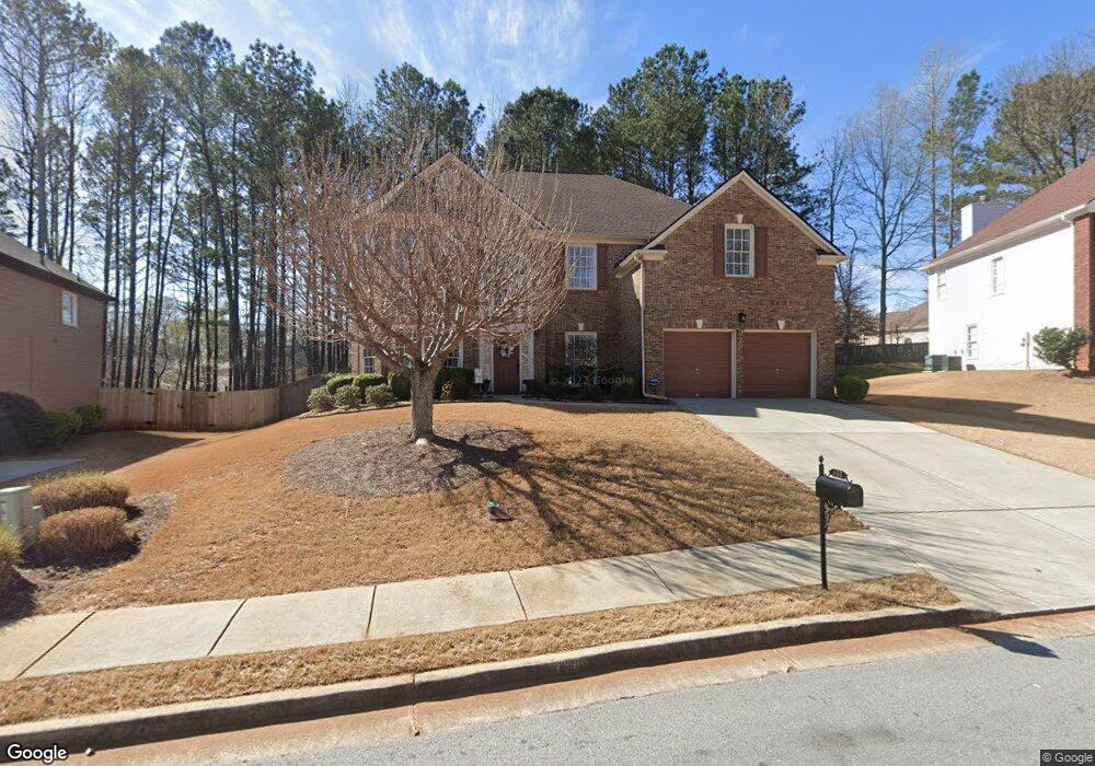
480 Lakota Trace Unit 2 Dacula, GA 30019
Estimated Value: $474,000 - $494,000
4
Beds
3
Baths
3,032
Sq Ft
$159/Sq Ft
Est. Value
About This Home
This home is located at 480 Lakota Trace Unit 2, Dacula, GA 30019 and is currently estimated at $480,978, approximately $158 per square foot. 480 Lakota Trace Unit 2 is a home located in Gwinnett County with nearby schools including Dacula Elementary School, Dacula Middle School, and Dacula High School.
Ownership History
Date
Name
Owned For
Owner Type
Purchase Details
Closed on
Jan 14, 2003
Sold by
Ryland Grp Inc
Bought by
Osucha Frank J and Osucha Sherri A
Current Estimated Value
Home Financials for this Owner
Home Financials are based on the most recent Mortgage that was taken out on this home.
Original Mortgage
$197,700
Outstanding Balance
$82,564
Interest Rate
5.98%
Mortgage Type
New Conventional
Estimated Equity
$398,414
Create a Home Valuation Report for This Property
The Home Valuation Report is an in-depth analysis detailing your home's value as well as a comparison with similar homes in the area
Home Values in the Area
Average Home Value in this Area
Purchase History
| Date | Buyer | Sale Price | Title Company |
|---|---|---|---|
| Osucha Frank J | $230,800 | -- |
Source: Public Records
Mortgage History
| Date | Status | Borrower | Loan Amount |
|---|---|---|---|
| Open | Osucha Frank J | $197,700 |
Source: Public Records
Tax History Compared to Growth
Tax History
| Year | Tax Paid | Tax Assessment Tax Assessment Total Assessment is a certain percentage of the fair market value that is determined by local assessors to be the total taxable value of land and additions on the property. | Land | Improvement |
|---|---|---|---|---|
| 2025 | $5,426 | $199,200 | $30,000 | $169,200 |
| 2024 | $5,287 | $185,120 | $36,000 | $149,120 |
| 2023 | $5,287 | $182,400 | $36,000 | $146,400 |
| 2022 | $4,800 | $163,320 | $29,600 | $133,720 |
| 2021 | $4,095 | $126,080 | $23,600 | $102,480 |
| 2020 | $3,958 | $118,400 | $23,600 | $94,800 |
| 2019 | $3,587 | $106,480 | $19,200 | $87,280 |
| 2018 | $3,591 | $106,480 | $19,200 | $87,280 |
| 2016 | $3,232 | $89,040 | $16,000 | $73,040 |
| 2015 | $3,266 | $89,040 | $16,000 | $73,040 |
| 2014 | $3,135 | $84,240 | $12,800 | $71,440 |
Source: Public Records
Map
Nearby Homes
- 2647 Stockbridge Way
- 3189 Eastham Run Dr
- 2818 Stockbridge Way
- 545 Gran Heritage Way Unit 3
- 825 River Cove Dr Unit 1
- 825 River Cove Unit #1 Dr
- 770 River Cove Dr
- 2879 Heritage Oaks Cir
- 2819 Heritage Oaks Cir Unit 7
- 710 Bentgrass Ct
- 2450 Wild Iris Ln
- 2713 Misty Rock Cove
- 2674 Misty Rock Cove
- 2592 White Aster Ln
- 994 Fairview Club Cir
- 2901 Tree Top Rd
- 964 Fairview Club Cir
- 894 Fairview Club Cir Unit 2
- 535 Maeve Ln
- 2933 Misty Rock Cove
- 470 Lakota Trace
- 490 Lakota Trace Unit 2
- 427 Chantell Ct
- 427 Chantell Ct Unit 54E
- 417 Chantell Ct Unit 6
- 460 Lakota Trace Unit 2
- 485 Lakota Trace
- 3028 Stockbridge Way
- 505 Lakota Trace
- 505 Lakota Trace
- 437 Chantell Ct Unit 6
- 2614 Hanriva Ct Unit 2
- 407 Chantell Ct Unit 6
- 450 Lakota Trace
- 2698 Stockbridge Way
- 3038 Stockbridge Way
- 3008 Stockbridge Way
- 2624 Hanriva Ct
- 442 Chantell Ct
- 440 Lakota Trace Unit 6