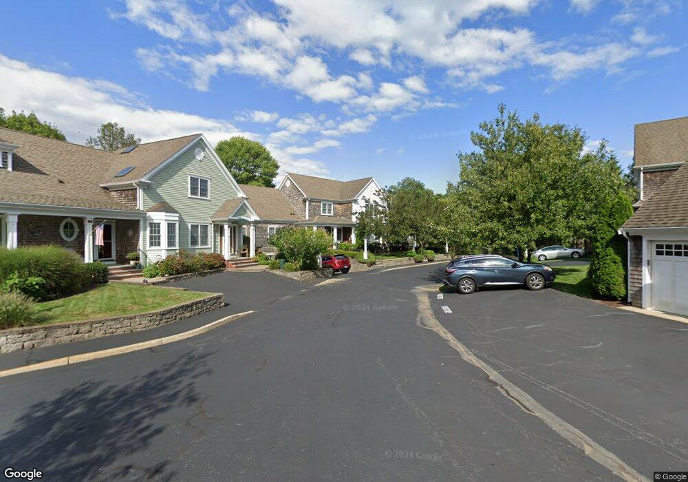
480 Main St Unit 11 Falmouth, MA 02540
Falmouth Village NeighborhoodEstimated Value: $913,000 - $1,190,000
3
Beds
3
Baths
1,964
Sq Ft
$515/Sq Ft
Est. Value
About This Home
This home is located at 480 Main St Unit 11, Falmouth, MA 02540 and is currently estimated at $1,011,532, approximately $515 per square foot. 480 Main St Unit 11 is a home located in Barnstable County with nearby schools including Mullen-Hall School, Lawrence School, and Morse Pond School.
Ownership History
Date
Name
Owned For
Owner Type
Purchase Details
Closed on
Jul 2, 2018
Sold by
Ford William R and Ford Susan L
Bought by
Ford Ft
Current Estimated Value
Purchase Details
Closed on
Oct 3, 2008
Sold by
Coast To Coast Dev Inc
Bought by
Mitchell Susan L
Home Financials for this Owner
Home Financials are based on the most recent Mortgage that was taken out on this home.
Original Mortgage
$250,000
Interest Rate
6.54%
Mortgage Type
Purchase Money Mortgage
Create a Home Valuation Report for This Property
The Home Valuation Report is an in-depth analysis detailing your home's value as well as a comparison with similar homes in the area
Home Values in the Area
Average Home Value in this Area
Purchase History
| Date | Buyer | Sale Price | Title Company |
|---|---|---|---|
| Ford Ft | -- | -- | |
| Mitchell Susan L | $450,000 | -- |
Source: Public Records
Mortgage History
| Date | Status | Borrower | Loan Amount |
|---|---|---|---|
| Previous Owner | Mitchell Susan L | $250,000 |
Source: Public Records
Tax History Compared to Growth
Tax History
| Year | Tax Paid | Tax Assessment Tax Assessment Total Assessment is a certain percentage of the fair market value that is determined by local assessors to be the total taxable value of land and additions on the property. | Land | Improvement |
|---|---|---|---|---|
| 2025 | $4,590 | $782,000 | $0 | $782,000 |
| 2024 | $4,342 | $691,400 | $0 | $691,400 |
| 2023 | $4,149 | $599,500 | $0 | $599,500 |
| 2022 | $4,523 | $561,900 | $0 | $561,900 |
| 2021 | $4,584 | $539,300 | $0 | $539,300 |
| 2020 | $4,633 | $539,300 | $0 | $539,300 |
| 2019 | $4,422 | $516,600 | $0 | $516,600 |
| 2018 | $4,453 | $510,900 | $0 | $510,900 |
| 2017 | $4,456 | $522,400 | $0 | $522,400 |
| 2016 | $4,060 | $485,100 | $0 | $485,100 |
| 2015 | $3,332 | $406,800 | $0 | $406,800 |
| 2014 | $3,384 | $415,200 | $0 | $415,200 |
Source: Public Records
Map
Nearby Homes
- 480 Main St Unit 1
- 110 Dillingham Ave Unit 224
- 110 Dillingham Ave Unit 322
- 35 Pleasant View Ave
- 121 Allen Ave
- 98 Main St
- 98 Main St Unit 1
- 253 Scranton Ave
- 30 Katherine Lee Bates Rd
- 57 Meadow Ln
- 71 Main St
- 33 Oakwood Ave
- 276 Shore St
- 354 Gifford St Unit 6
- 354 Gifford St Unit 5
- 354 Gifford St Unit 2
- 133 Mariners Ln
- 9 Fairmount Ave Unit 1
- 9 Fairmount Ave Unit 2
- 9 Fairmount Ave
- 480 Main St Unit 16
- 480 Main St Unit 15
- 480 Main St Unit 14
- 480 Main St Unit 13
- 480 Main St Unit 12
- 480 Main St Unit 8
- 480 Main St Unit 7
- 480 Main St Unit 10
- 480 Main St Unit 9
- 480 Main St Unit 6
- 480 Main St Unit 5
- 480 Main St Unit 4
- 480 Main St Unit 3
- 480 Main St Unit 2
- 480 Main St
- 35 Boxwood Cir
- 29 Boxwood Cir
- 0 Central
- 12 Grey Rock
- 67 Loden Green