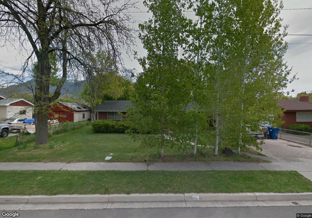
480 N 100 E American Fork, UT 84003
Estimated Value: $421,355 - $476,000
3
Beds
2
Baths
1,178
Sq Ft
$386/Sq Ft
Est. Value
About This Home
This home is located at 480 N 100 E, American Fork, UT 84003 and is currently estimated at $454,785, approximately $386 per square foot. 480 N 100 E is a home located in Utah County with nearby schools including Forbes Elementary School, American Fork Junior High School, and American Fork High School.
Ownership History
Date
Name
Owned For
Owner Type
Purchase Details
Closed on
Mar 5, 2001
Sold by
Stephens Robert Jay and Stephens Earl Jay
Bought by
Larsen Devin B
Current Estimated Value
Purchase Details
Closed on
Sep 24, 1998
Sold by
Stephens Robert Jay and Stephens Earl Jay
Bought by
Stephens Robert Jay and Stephens Earl Jay
Home Financials for this Owner
Home Financials are based on the most recent Mortgage that was taken out on this home.
Original Mortgage
$96,014
Interest Rate
6.88%
Mortgage Type
FHA
Create a Home Valuation Report for This Property
The Home Valuation Report is an in-depth analysis detailing your home's value as well as a comparison with similar homes in the area
Home Values in the Area
Average Home Value in this Area
Purchase History
| Date | Buyer | Sale Price | Title Company |
|---|---|---|---|
| Larsen Devin B | -- | Equity Title Agency Inc | |
| Stephens Robert Jay | -- | -- |
Source: Public Records
Mortgage History
| Date | Status | Borrower | Loan Amount |
|---|---|---|---|
| Previous Owner | Stephens Robert Jay | $96,014 |
Source: Public Records
Tax History
| Year | Tax Paid | Tax Assessment Tax Assessment Total Assessment is a certain percentage of the fair market value that is determined by local assessors to be the total taxable value of land and additions on the property. | Land | Improvement |
|---|---|---|---|---|
| 2025 | $1,886 | $212,850 | -- | -- |
| 2024 | $1,886 | $209,550 | $0 | $0 |
| 2023 | $1,792 | $211,145 | $0 | $0 |
| 2022 | $1,795 | $208,670 | $0 | $0 |
| 2021 | $1,527 | $277,300 | $150,400 | $126,900 |
| 2020 | $1,424 | $250,700 | $134,300 | $116,400 |
| 2019 | $1,297 | $236,200 | $126,600 | $109,600 |
| 2018 | $1,248 | $217,300 | $115,100 | $102,200 |
| 2017 | $1,204 | $113,135 | $0 | $0 |
| 2016 | $1,105 | $96,525 | $0 | $0 |
| 2015 | $1,132 | $93,830 | $0 | $0 |
| 2014 | $1,072 | $87,670 | $0 | $0 |
Source: Public Records
Map
Nearby Homes
- 788 N 150 E Unit 3
- 807 N 150 E
- 783 N 150 E
- 793 N 150 E
- 487 N 30 W
- 374 N Center St
- 610 N 300 E
- 345 N Center St
- 183 E 760 St N
- 780 N 100 E
- 621 N 100 W
- 822 N 150 E Unit 5
- 474 E 580 N
- 148 N 100 E
- 272 N 400 E
- 4650 W Magnolia Drive Dr Unit 8
- 10238 N 6530 W Unit 15
- 941 E S Ellens St Lot 3 St N Unit LOT 3
- 5277 N 11200 W Unit 4
- 5284 N 11200 W Unit 3
- 470 N 100 E
- 496 N 100 E
- 485 Thornwood Dr
- 475 Thornwood Dr
- 495 Thornwood Dr
- 460 N 100 E
- 465 Thornwood Dr
- 1076 E 490 N Unit E-101
- 1076 E 490 N Unit E-204
- 1076 E 490 N Unit E-201
- 1076 E 490 N Unit E-102
- 1076 E 490 N Unit E-202
- 1076 E 490 N Unit 301
- 455 Thornwood Dr
- 485 N 100 E
- 475 N 100 E
- 105 E 500 N
- 495 N 100 E
- 135 E 500 N
- 465 N 100 E
Your Personal Tour Guide
Ask me questions while you tour the home.