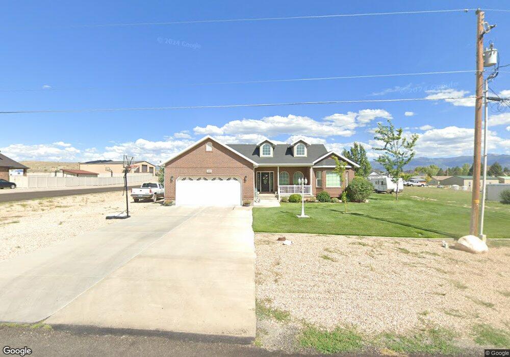
480 N 200 E Moroni, UT 84646
Estimated Value: $553,000 - $666,000
Studio
--
Bath
3,408
Sq Ft
$178/Sq Ft
Est. Value
About This Home
This home is located at 480 N 200 E, Moroni, UT 84646 and is currently estimated at $604,948, approximately $177 per square foot. 480 N 200 E is a home with nearby schools including North Sanpete High School.
Ownership History
Date
Name
Owned For
Owner Type
Purchase Details
Closed on
Jul 11, 2022
Sold by
Michie Jacob M
Bought by
Parry Denny L
Current Estimated Value
Purchase Details
Closed on
Mar 18, 2019
Sold by
Batt Brian R and Batt Tara L
Bought by
Michie Jacob M
Home Financials for this Owner
Home Financials are based on the most recent Mortgage that was taken out on this home.
Original Mortgage
$160,000
Interest Rate
4.4%
Mortgage Type
New Conventional
Purchase Details
Closed on
Mar 4, 2008
Sold by
Blackham Ross C and Blackham Uarda B
Bought by
Blackham Brandon and Blackham Callie
Create a Home Valuation Report for This Property
The Home Valuation Report is an in-depth analysis detailing your home's value as well as a comparison with similar homes in the area
Purchase History
| Date | Buyer | Sale Price | Title Company |
|---|---|---|---|
| Parry Denny L | -- | -- | |
| Michie Jacob M | $200,000 | Central Utah Title | |
| Blackham Brandon | -- | -- |
Source: Public Records
Mortgage History
| Date | Status | Borrower | Loan Amount |
|---|---|---|---|
| Previous Owner | Michie Jacob M | $160,000 | |
| Closed | Michie Jacob M | $160,000 | |
| Closed | Parry Denny L | $0 |
Source: Public Records
Tax History
| Year | Tax Paid | Tax Assessment Tax Assessment Total Assessment is a certain percentage of the fair market value that is determined by local assessors to be the total taxable value of land and additions on the property. | Land | Improvement |
|---|---|---|---|---|
| 2025 | $2,804 | $313,225 | $0 | $0 |
| 2024 | $2,922 | $306,911 | $0 | $0 |
| 2023 | $2,852 | $288,179 | $0 | $0 |
| 2022 | $2,763 | $247,749 | $0 | $0 |
| 2021 | $2,515 | $204,210 | $0 | $0 |
| 2020 | $2,355 | $178,351 | $0 | $0 |
| 2019 | $2,324 | $165,406 | $0 | $0 |
| 2018 | $2,123 | $261,511 | $26,893 | $234,618 |
| 2017 | $1,920 | $131,808 | $0 | $0 |
| 2016 | $1,745 | $119,825 | $0 | $0 |
| 2015 | $1,770 | $119,825 | $0 | $0 |
| 2014 | $1,767 | $119,825 | $0 | $0 |
| 2013 | $1,716 | $119,825 | $0 | $0 |
Source: Public Records
Map
Nearby Homes
- 114 E 500 North St
- 340 E 300 St N
- 12 W 200 N
- 335 N 200 West St
- 215 W 200 N
- 250 Utah 132
- 400 Utah 132
- 25 W Main St
- 45 Main St
- 0 Race Track Rd
- 16875 Race Track Rd
- 17749 N Race Track Ln
- 17560 N Race Track Ln
- 17500 N 4250 E
- 16875 Road E
- 505 N 200 W
- 132 Hwy 132 See Directions
- 4000 E 17800 N Unit 61-62
- 15450 N 600 E
- 0 100 E Off I-15 Exit 31 Unit 24-255724
Your Personal Tour Guide
Ask me questions while you tour the home.