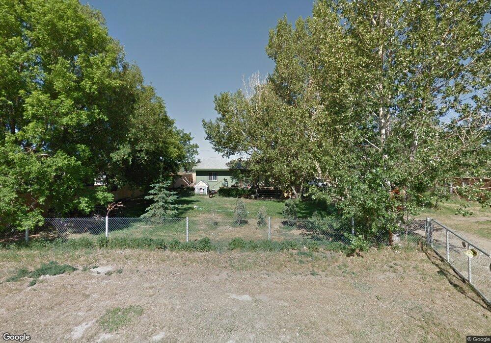
480 N Buchanan St Laramie, WY 82070
Estimated Value: $437,000 - $517,000
3
Beds
3
Baths
2,794
Sq Ft
$168/Sq Ft
Est. Value
About This Home
This home is located at 480 N Buchanan St, Laramie, WY 82070 and is currently estimated at $468,321, approximately $167 per square foot. 480 N Buchanan St is a home located in Albany County with nearby schools including Velma Linford Elementary School, Laramie Middle School, and Laramie High School.
Ownership History
Date
Name
Owned For
Owner Type
Purchase Details
Closed on
Jul 15, 2019
Sold by
Cutbirth Yvonne and Estate Of Pamela J Kruse
Bought by
Madden Justin C and Madden Sunny M
Current Estimated Value
Home Financials for this Owner
Home Financials are based on the most recent Mortgage that was taken out on this home.
Original Mortgage
$168,780
Outstanding Balance
$148,109
Interest Rate
3.9%
Mortgage Type
New Conventional
Estimated Equity
$320,212
Create a Home Valuation Report for This Property
The Home Valuation Report is an in-depth analysis detailing your home's value as well as a comparison with similar homes in the area
Home Values in the Area
Average Home Value in this Area
Purchase History
| Date | Buyer | Sale Price | Title Company |
|---|---|---|---|
| Madden Justin C | -- | First American Title |
Source: Public Records
Mortgage History
| Date | Status | Borrower | Loan Amount |
|---|---|---|---|
| Open | Madden Justin C | $168,780 |
Source: Public Records
Tax History Compared to Growth
Tax History
| Year | Tax Paid | Tax Assessment Tax Assessment Total Assessment is a certain percentage of the fair market value that is determined by local assessors to be the total taxable value of land and additions on the property. | Land | Improvement |
|---|---|---|---|---|
| 2025 | $2,739 | $31,725 | $2,022 | $29,703 |
| 2024 | $2,739 | $40,281 | $2,669 | $37,612 |
| 2023 | $2,651 | $38,990 | $2,669 | $36,321 |
| 2022 | $1,602 | $23,554 | $2,636 | $20,918 |
| 2021 | $1,182 | $17,376 | $2,471 | $14,905 |
| 2020 | $1,198 | $17,623 | $3,501 | $14,122 |
| 2019 | $1,208 | $17,762 | $3,501 | $14,261 |
| 2018 | $1,146 | $16,856 | $3,501 | $13,355 |
| 2017 | $1,091 | $16,044 | $2,527 | $13,517 |
| 2016 | $1,078 | $15,848 | $2,527 | $13,321 |
| 2015 | $1,010 | $14,849 | $2,555 | $12,294 |
| 2014 | $1,068 | $15,708 | $0 | $0 |
Source: Public Records
Map
Nearby Homes
- 1666 Westview Dr
- 262 N Taylor St Unit 5
- 174 N Colorado Ave
- 1560 Westview Ct
- 1561 Westview Ct
- 1567 Westview Ct
- 954 N Mccue St Unit 92
- 2166 W Wyoming Ave Unit 29
- 2166 W Wyoming Ave Unit 25
- 2075 Jefferson St
- 153 N Adams St
- 954 N McCue St Lot 93 St
- 2756 Snowy Range Rd
- TBD N Mccue St
- TBD LOT 2 N Mccue St
- 370 S Buchanan St
- 1272 W Lyon St Unit 63
- 1272 W Lyons St Unit 43
- 953 N Mccue St Unit 228
- 427 S Pierce St
- 456 N Buchanan St
- 1980 Washington St
- 1951 Madison St
- 1872 Washington St
- 1965 Washington St
- 1866 Washington St
- 1885 Madison St
- 00 Madison St
- 1981 Washington St
- 385 N Buchanan St
- 393 N Lincoln St
- 561 Buchanan St
- 476 N Pierce St
- 394 N Lincoln St
- 379 N Lincoln St
- 373 N Buchanan St Unit D
- 373 N Buchanan St Unit A
- 373 N Buchanan St Unit . A
- 390 N Lincoln St
- 2056 Madison St