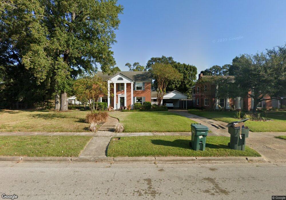
480 N Circuit Dr Unit NO FLOODING Beaumont, TX 77706
South CANA NeighborhoodEstimated Value: $368,000 - $417,000
3
Beds
4
Baths
3,519
Sq Ft
$111/Sq Ft
Est. Value
About This Home
This home is located at 480 N Circuit Dr Unit NO FLOODING, Beaumont, TX 77706 and is currently estimated at $390,306, approximately $110 per square foot. 480 N Circuit Dr Unit NO FLOODING is a home located in Jefferson County with nearby schools including Curtis Elementary School, Marshall Middle School, and West Brook Sr High School.
Ownership History
Date
Name
Owned For
Owner Type
Purchase Details
Closed on
Apr 22, 2021
Sold by
Garey Charles Rix and Garey Brenda Susan
Bought by
Fiore James V and Neef-Fiore Denise E
Current Estimated Value
Home Financials for this Owner
Home Financials are based on the most recent Mortgage that was taken out on this home.
Original Mortgage
$286,935
Outstanding Balance
$258,716
Interest Rate
3.05%
Mortgage Type
FHA
Estimated Equity
$131,590
Create a Home Valuation Report for This Property
The Home Valuation Report is an in-depth analysis detailing your home's value as well as a comparison with similar homes in the area
Home Values in the Area
Average Home Value in this Area
Purchase History
| Date | Buyer | Sale Price | Title Company |
|---|---|---|---|
| Fiore James V | -- | Stewart Title |
Source: Public Records
Mortgage History
| Date | Status | Borrower | Loan Amount |
|---|---|---|---|
| Open | Fiore James V | $286,935 |
Source: Public Records
Tax History Compared to Growth
Tax History
| Year | Tax Paid | Tax Assessment Tax Assessment Total Assessment is a certain percentage of the fair market value that is determined by local assessors to be the total taxable value of land and additions on the property. | Land | Improvement |
|---|---|---|---|---|
| 2025 | $7,985 | $409,946 | $44,135 | $365,811 |
| 2024 | $7,985 | $409,946 | $44,135 | $365,811 |
| 2023 | $7,985 | $409,946 | $44,135 | $365,811 |
| 2022 | $10,713 | $409,946 | $44,135 | $365,811 |
| 2021 | $11,130 | $409,946 | $44,135 | $365,811 |
| 2020 | $7,830 | $287,185 | $44,135 | $243,050 |
| 2019 | $4,923 | $270,430 | $44,140 | $226,290 |
| 2018 | $4,923 | $253,670 | $44,140 | $209,530 |
| 2017 | $4,844 | $253,670 | $44,140 | $209,530 |
| 2016 | $6,088 | $221,420 | $44,140 | $177,280 |
| 2015 | $4,504 | $221,420 | $44,140 | $177,280 |
| 2014 | $4,504 | $211,540 | $44,140 | $167,400 |
Source: Public Records
Map
Nearby Homes
- 260 Manor St
- 4770 Vance St
- 250 E Circuit Dr
- 935 Nichols Dr
- 820 Evergreen Ln
- 180 Ridgeland Ave
- 198 E Circuit Dr
- 970 Evergreen Ln
- 725 Thomas Rd
- 145 Manor St
- 5595 Frost St
- 17842 Camellia Dr
- 595 Hooks Ave
- 625 Hooks Ave Unit Hooks
- 5580 Hooks Ave
- 5530 Duff St
- 4375 W Broadway St
- 5390 Swallow Dr
- 5010 Swallow Dr
- 5875 Oleander Dr
- 480 N Circuit Dr
- 460 N Circuit Dr
- 540 N Circuit Dr
- 440 N Circuit Dr
- 290 W Circuit Dr
- 4705 Estate Dr
- 4715 Estate Dr
- 277 W Circuit Dr
- 550 N Circuit Dr
- 4725 Estate Dr
- 420 N Circuit Dr
- 280 W Circuit Dr
- 297 Ridgeland St
- 850 Nichols Dr
- 4745 Estate Dr
- 296 Manor St
- 284 Manor St
- 590 N Circuit Dr
- 4765 Estate Dr
- 845 Nichols Dr