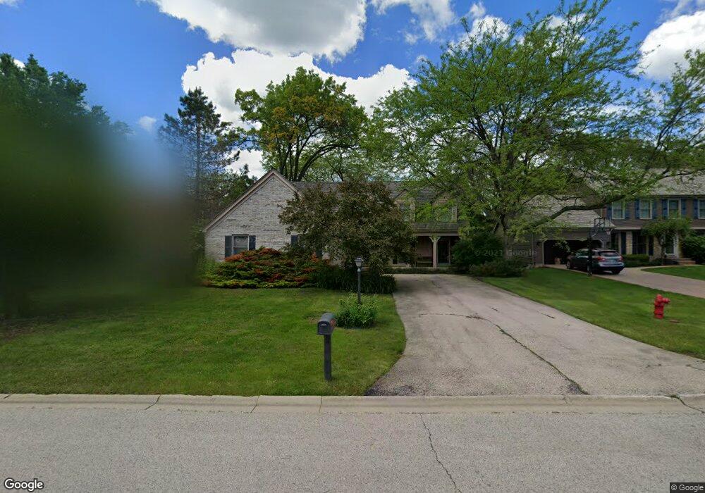
480 Paul Cir Barrington, IL 60010
North Barrington Hills NeighborhoodEstimated Value: $747,526 - $830,000
--
Bed
3
Baths
3,184
Sq Ft
$249/Sq Ft
Est. Value
About This Home
This home is located at 480 Paul Cir, Barrington, IL 60010 and is currently estimated at $791,632, approximately $248 per square foot. 480 Paul Cir is a home located in Lake County with nearby schools including Arnett C. Lines Elementary School, Barrington Middle School Station Campus, and Barrington High School.
Ownership History
Date
Name
Owned For
Owner Type
Purchase Details
Closed on
Aug 28, 1998
Sold by
Lehr Herman W and Lehr Theresa H
Bought by
Eibl Marie E
Current Estimated Value
Home Financials for this Owner
Home Financials are based on the most recent Mortgage that was taken out on this home.
Original Mortgage
$304,000
Outstanding Balance
$65,841
Interest Rate
7.06%
Estimated Equity
$725,791
Create a Home Valuation Report for This Property
The Home Valuation Report is an in-depth analysis detailing your home's value as well as a comparison with similar homes in the area
Home Values in the Area
Average Home Value in this Area
Purchase History
| Date | Buyer | Sale Price | Title Company |
|---|---|---|---|
| Eibl Marie E | $380,000 | -- |
Source: Public Records
Mortgage History
| Date | Status | Borrower | Loan Amount |
|---|---|---|---|
| Open | Eibl Marie E | $304,000 |
Source: Public Records
Tax History Compared to Growth
Tax History
| Year | Tax Paid | Tax Assessment Tax Assessment Total Assessment is a certain percentage of the fair market value that is determined by local assessors to be the total taxable value of land and additions on the property. | Land | Improvement |
|---|---|---|---|---|
| 2024 | $14,351 | $236,597 | $39,816 | $196,781 |
| 2023 | $13,157 | $203,875 | $34,309 | $169,566 |
| 2022 | $13,157 | $183,114 | $38,814 | $144,300 |
| 2021 | $12,982 | $180,000 | $38,154 | $141,846 |
| 2020 | $14,390 | $197,625 | $38,036 | $159,589 |
| 2019 | $15,679 | $217,473 | $37,032 | $180,441 |
| 2018 | $14,099 | $200,189 | $42,625 | $157,564 |
| 2017 | $14,016 | $196,168 | $41,769 | $154,399 |
| 2016 | $13,816 | $188,768 | $40,193 | $148,575 |
| 2015 | $13,065 | $177,047 | $37,697 | $139,350 |
| 2014 | $11,631 | $151,095 | $27,006 | $124,089 |
| 2012 | $13,741 | $153,692 | $27,470 | $126,222 |
Source: Public Records
Map
Nearby Homes
- 432 Whitney Dr
- 248 Beverly Rd
- 216 Beverly Rd
- 175 Hilltop Ave
- 117 Beverly Rd
- 534 E Main St
- 101 Surrey Ln
- 1288 The Point St
- 565 Shorely Dr Unit 202
- 336 Eastern Ave Unit C4
- 319 S Glendale Ave Unit 204
- 290 Cold Spring Rd
- 206 N Cook St
- 520 Shorely Dr Unit 201
- 185 Cold Spring Rd
- 104 Howe Terrace
- 1010 Oakland Dr
- 1312 Lake Shore Dr N Unit 7
- 541 N Hough St Unit 205
- 345 E Russell St