480 Perry Dr Salisbury, NC 28146
Estimated Value: $570,831
Studio
2
Baths
7,276
Sq Ft
$78/Sq Ft
Est. Value
About This Home
This home is located at 480 Perry Dr, Salisbury, NC 28146 and is currently priced at $570,831, approximately $78 per square foot. 480 Perry Dr is a home located in Rowan County with nearby schools including Elizabeth Duncan Koontz Elementary School, Southeast Middle School, and Jesse C Carson High School.
Ownership History
Date
Name
Owned For
Owner Type
Purchase Details
Closed on
Aug 4, 2009
Sold by
Perry Wesley Wayne and Perry Wendy Miller
Bought by
Perry Wesley Wayne
Current Estimated Value
Home Financials for this Owner
Home Financials are based on the most recent Mortgage that was taken out on this home.
Original Mortgage
$510,000
Interest Rate
4.8%
Mortgage Type
Seller Take Back
Purchase Details
Closed on
Jan 15, 2002
Bought by
Perry Wesley Wayne and Perry Wf
Create a Home Valuation Report for This Property
The Home Valuation Report is an in-depth analysis detailing your home's value as well as a comparison with similar homes in the area
Purchase History
| Date | Buyer | Sale Price | Title Company |
|---|---|---|---|
| Perry Wesley Wayne | -- | None Available | |
| Perry Wesley Wayne | -- | -- |
Source: Public Records
Mortgage History
| Date | Status | Borrower | Loan Amount |
|---|---|---|---|
| Closed | Perry Wesley Wayne | $510,000 |
Source: Public Records
Tax History
| Year | Tax Paid | Tax Assessment Tax Assessment Total Assessment is a certain percentage of the fair market value that is determined by local assessors to be the total taxable value of land and additions on the property. | Land | Improvement |
|---|---|---|---|---|
| 2025 | $4,042 | $603,249 | $81,844 | $521,405 |
| 2024 | $4,042 | $603,249 | $81,844 | $521,405 |
| 2023 | $4,042 | $603,249 | $81,844 | $521,405 |
| 2022 | $3,458 | $462,630 | $61,607 | $401,023 |
| 2021 | $3,458 | $462,630 | $61,607 | $401,023 |
| 2020 | $3,458 | $462,630 | $61,607 | $401,023 |
| 2019 | $3,295 | $440,784 | $61,607 | $379,177 |
| 2018 | $2,765 | $373,084 | $61,606 | $311,478 |
| 2017 | $2,765 | $373,084 | $61,606 | $311,478 |
| 2016 | $2,765 | $373,084 | $61,606 | $311,478 |
| 2015 | $2,807 | $373,084 | $61,606 | $311,478 |
| 2014 | $2,591 | $359,856 | $54,965 | $304,891 |
Source: Public Records
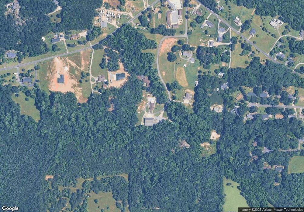
Map
Nearby Homes
- 345 Rainey Rd
- 214 S Main St
- Lot 6-7 Ridgeline Dr
- 230 Ridgeline Dr Unit 15
- 5037 Faith Rd
- 175 Birchwood Dr Unit 7
- 165 Birchwood Dr Unit 17
- 455 Stone Rd
- 0 Bee Tree Rd
- 1215 Juniper St
- 205 Willow Dr
- 535 Log Barn Rd
- 0 Raven Brook Way
- 185 Willow Dr
- 210 Rattlesnake St
- 325 Log Barn Rd
- 0 Balfour Quarry Rd Unit 10145306
- 655 Lippard Rd
- 190 Lyerly Dr
- 170 Lyerly Dr
Your Personal Tour Guide
Ask me questions while you tour the home.