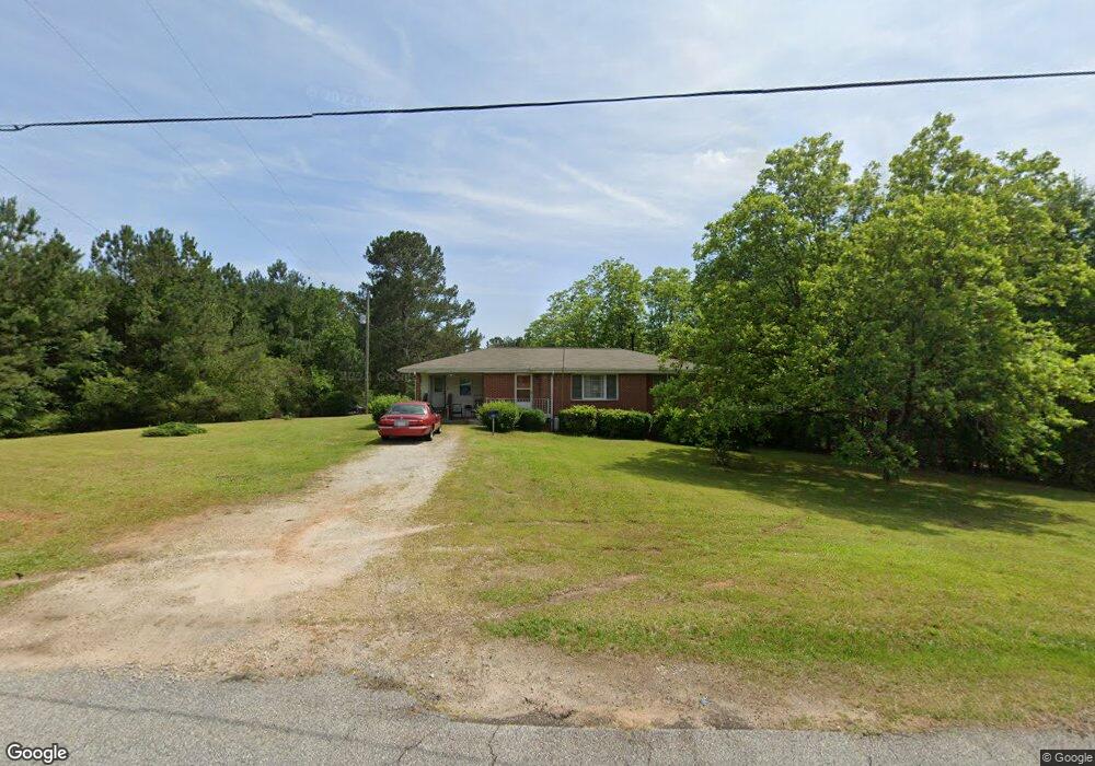
480 Phillip Lear Rd Westminster, SC 29693
Estimated Value: $126,000 - $186,000
2
Beds
2
Baths
1,261
Sq Ft
$130/Sq Ft
Est. Value
About This Home
This home is located at 480 Phillip Lear Rd, Westminster, SC 29693 and is currently estimated at $163,386, approximately $129 per square foot. 480 Phillip Lear Rd is a home located in Oconee County with nearby schools including Orchard Park Elementary School, West Oak Middle School, and West-Oak High School.
Ownership History
Date
Name
Owned For
Owner Type
Purchase Details
Closed on
Oct 27, 2025
Sold by
Goodine Myra Denise Robinson
Bought by
Goodine Myra Denise Robin and Goodine Marcus
Current Estimated Value
Home Financials for this Owner
Home Financials are based on the most recent Mortgage that was taken out on this home.
Original Mortgage
$130,000
Outstanding Balance
$130,000
Interest Rate
6.3%
Mortgage Type
New Conventional
Estimated Equity
$33,386
Purchase Details
Closed on
Nov 30, 2023
Sold by
Gordon Rena B
Bought by
Goodine Myra Denise Robin
Home Financials for this Owner
Home Financials are based on the most recent Mortgage that was taken out on this home.
Original Mortgage
$105,500
Interest Rate
7.63%
Mortgage Type
New Conventional
Create a Home Valuation Report for This Property
The Home Valuation Report is an in-depth analysis detailing your home's value as well as a comparison with similar homes in the area
Home Values in the Area
Average Home Value in this Area
Purchase History
| Date | Buyer | Sale Price | Title Company |
|---|---|---|---|
| Goodine Myra Denise Robin | -- | Avenue 365 Lender Services | |
| Goodine Myra Denise Robin | $125,000 | None Listed On Document |
Source: Public Records
Mortgage History
| Date | Status | Borrower | Loan Amount |
|---|---|---|---|
| Open | Goodine Myra Denise Robin | $130,000 | |
| Previous Owner | Goodine Myra Denise Robin | $105,500 |
Source: Public Records
Tax History
| Year | Tax Paid | Tax Assessment Tax Assessment Total Assessment is a certain percentage of the fair market value that is determined by local assessors to be the total taxable value of land and additions on the property. | Land | Improvement |
|---|---|---|---|---|
| 2025 | $335 | $3,192 | $756 | $2,436 |
| 2024 | $335 | $3,192 | $756 | $2,436 |
| 2023 | $100 | $2,942 | $524 | $2,418 |
| 2022 | $100 | $2,942 | $524 | $2,418 |
| 2021 | $90 | $2,720 | $434 | $2,286 |
| 2020 | $80 | $2,720 | $434 | $2,286 |
| 2019 | $80 | $0 | $0 | $0 |
| 2018 | $604 | $0 | $0 | $0 |
| 2017 | $90 | $0 | $0 | $0 |
| 2016 | $90 | $0 | $0 | $0 |
| 2015 | -- | $0 | $0 | $0 |
| 2014 | -- | $2,855 | $454 | $2,402 |
| 2013 | -- | $0 | $0 | $0 |
Source: Public Records
Map
Nearby Homes
- 199 Johns Mill Rd
- 265 State Road S-37-141
- Tract C Vine Rd
- Tract E Vine Rd
- 179 Alice Ln Unit B
- LOT 7 Springview Dr
- 0 Springview Dr Unit 21515079
- 0 Springview Dr Unit 18549576
- 125 Stonewall Dr
- Lot 9 Block A Brookside Dr
- 1 Brookside Dr
- 223 Brookside Dr
- 9B Lost Forest Dr
- 0 Lost Forest Dr
- 333 Oliver Rd
- Lot 34 Stillwater Place
- 140 Pickens Rd
- 120 Lonesome Valley Rd
- Lot 28 Lake Breeze Rd
- Lot 29 Lake Breeze Rd
- 1408 Dr Johns Rd
- 1417 Dr Johns Rd
- 1405 Dr Johns Rd
- 120 Dales Dr
- 130 Dales Dr
- 198 Pittman Cir
- 1512 Dr Johns Rd
- 325 Footprints Trail
- 1401 Dr Johns Rd
- 115 Delta Dr
- 320 Footprints Trail
- 118 Cedar Wood Ranch Rd
- 118 Cedar Wood Ranch Rd
- 335 Footprints Trail
- 211 Robert Grant Dr
- 114 Delta Dr
- 1315 Dr Johns Rd
- 161 Pittman Cir
- 331 Phillip Lear Rd
- 203 Delta Dr