480 Powers Court Ave Unit 2 Alpharetta, GA 30004
Estimated Value: $840,416 - $1,031,000
4
Beds
3
Baths
2,843
Sq Ft
$327/Sq Ft
Est. Value
About This Home
This home is located at 480 Powers Court Ave Unit 2, Alpharetta, GA 30004 and is currently estimated at $929,104, approximately $326 per square foot. 480 Powers Court Ave Unit 2 is a home located in Fulton County with nearby schools including Birmingham Falls Elementary School, Northwestern Middle School, and Milton High School.
Ownership History
Date
Name
Owned For
Owner Type
Purchase Details
Closed on
Jun 19, 2000
Sold by
Efurd Robert T
Bought by
Harris and Harris Efurd Pamela
Current Estimated Value
Home Financials for this Owner
Home Financials are based on the most recent Mortgage that was taken out on this home.
Original Mortgage
$253,200
Outstanding Balance
$84,675
Interest Rate
7.5%
Mortgage Type
New Conventional
Estimated Equity
$844,429
Create a Home Valuation Report for This Property
The Home Valuation Report is an in-depth analysis detailing your home's value as well as a comparison with similar homes in the area
Home Values in the Area
Average Home Value in this Area
Purchase History
| Date | Buyer | Sale Price | Title Company |
|---|---|---|---|
| Harris | $316,500 | -- |
Source: Public Records
Mortgage History
| Date | Status | Borrower | Loan Amount |
|---|---|---|---|
| Open | Harris | $253,200 |
Source: Public Records
Tax History Compared to Growth
Tax History
| Year | Tax Paid | Tax Assessment Tax Assessment Total Assessment is a certain percentage of the fair market value that is determined by local assessors to be the total taxable value of land and additions on the property. | Land | Improvement |
|---|---|---|---|---|
| 2025 | $778 | $288,920 | $98,840 | $190,080 |
| 2023 | $7,119 | $252,200 | $72,560 | $179,640 |
| 2022 | $4,302 | $196,720 | $68,080 | $128,640 |
| 2021 | $4,145 | $174,840 | $54,720 | $120,120 |
| 2020 | $4,406 | $194,440 | $58,200 | $136,240 |
| 2019 | $775 | $194,440 | $58,200 | $136,240 |
| 2018 | $3,830 | $194,440 | $58,200 | $136,240 |
| 2017 | $3,964 | $147,800 | $36,320 | $111,480 |
| 2016 | $3,963 | $147,800 | $36,320 | $111,480 |
| 2015 | $4,607 | $147,800 | $36,320 | $111,480 |
| 2014 | $3,766 | $135,600 | $33,680 | $101,920 |
Source: Public Records
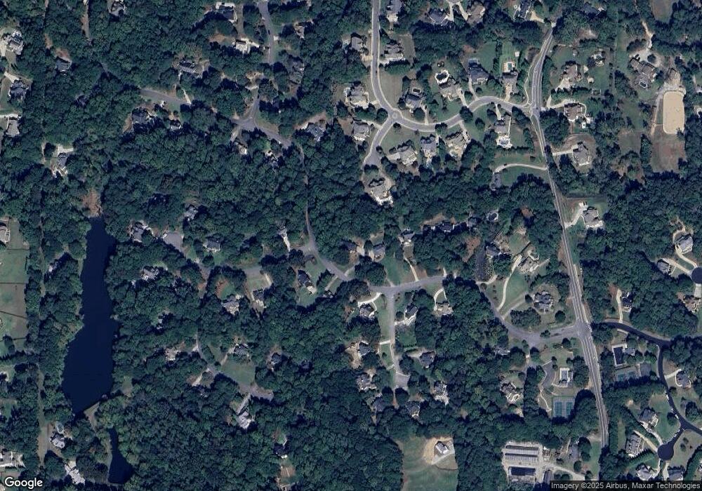
Map
Nearby Homes
- 560 Arcaro Dr
- 195 Blackberry Ridge Trail
- 320 Blackberry Ridge Trail
- 363 Gables Walk
- 393 Taylor Glen Dr
- 14560 Wood Rd
- 170 Golf Link View Unit 6B
- 325 Taylor Glen Dr
- 259 Milton Overlook Pass
- 648 Glenover Dr
- 608 Glenover Dr
- 13980 Haystack Ln
- 345 Lake Bend Ct Unit 1
- 910 Pleasant Hollow Trail
- 560 Lost River Bend
- 1411 Silver Fox Run
- 1104 Fox Ln
- 775 Lake Mist Cove
- 14300 Providence Rd
- 4000 Orchard Way
- 0 Powers Court Ave Unit 7232385
- 0 Powers Court Ave Unit 8585577
- 0 Powers Court Ave Unit 8654683
- 0 Powers Court Ave Unit 8868529
- 0 Powers Court Ave Unit 8763814
- 0 Powers Court Ave Unit 8551323
- 0 Powers Court Ave Unit 7071924
- 490 Powers Court Ave Unit 67
- 490 Powers Court Ave Unit 1
- 490 Powers Court Ave
- 475 Powers Court Ave Unit 2
- 110 Arcaro Trace
- 500 Powers Court Ave Unit 1
- 605 Glendalough Ct Unit 2
- 485 Powers Court Ave Unit 2
- 495 Powers Court Ave Unit 1
- 510 Powers Court Ave Unit 1
- 615 Glendalough Ct
- 610 Glendalough Ct
- 525 Arcaro Dr