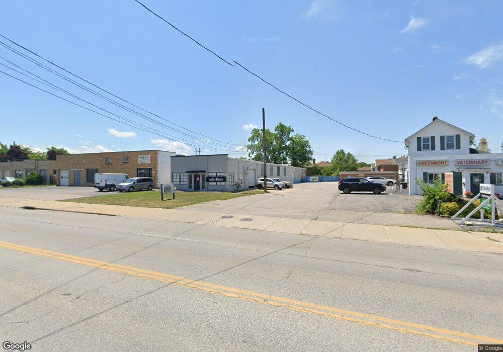
480 S Green Rd South Euclid, OH 44121
--
Bed
--
Bath
--
Sq Ft
8,712
Sq Ft Lot
About This Home
This home is located at 480 S Green Rd, South Euclid, OH 44121. 480 S Green Rd is a home located in Cuyahoga County with nearby schools including Adrian Elementary School, Greenview Upper Elementary School, and Memorial Junior High School.
Ownership History
Date
Name
Owned For
Owner Type
Purchase Details
Closed on
Jun 19, 2014
Sold by
The Cuyahoga County Land Reutilization C
Bought by
480 South Green Llc
Purchase Details
Closed on
May 16, 2014
Sold by
Tlc Collision Center Inc
Bought by
Cuyahoga County Land Reutilization Corpo
Purchase Details
Closed on
Dec 7, 2004
Sold by
The Varco Products Inc
Bought by
Tlc Collision Center Inc
Home Financials for this Owner
Home Financials are based on the most recent Mortgage that was taken out on this home.
Original Mortgage
$174,300
Interest Rate
5.7%
Mortgage Type
Purchase Money Mortgage
Purchase Details
Closed on
Nov 24, 1987
Sold by
Arnos Norman W
Bought by
Varco Products, Inc
Purchase Details
Closed on
Jan 1, 1975
Bought by
Arnos Norman W
Create a Home Valuation Report for This Property
The Home Valuation Report is an in-depth analysis detailing your home's value as well as a comparison with similar homes in the area
Home Values in the Area
Average Home Value in this Area
Purchase History
| Date | Buyer | Sale Price | Title Company |
|---|---|---|---|
| 480 South Green Llc | -- | Everest Land Title Agency | |
| Cuyahoga County Land Reutilization Corpo | -- | Everest Land Title Agency | |
| Tlc Collision Center Inc | $205,000 | Continental Title Agency | |
| Varco Products, Inc | $2,200 | -- | |
| Arnos Norman W | -- | -- |
Source: Public Records
Mortgage History
| Date | Status | Borrower | Loan Amount |
|---|---|---|---|
| Previous Owner | Tlc Collision Center Inc | $174,300 | |
| Closed | Tlc Collision Center Inc | $20,000 |
Source: Public Records
Tax History Compared to Growth
Tax History
| Year | Tax Paid | Tax Assessment Tax Assessment Total Assessment is a certain percentage of the fair market value that is determined by local assessors to be the total taxable value of land and additions on the property. | Land | Improvement |
|---|---|---|---|---|
| 2024 | $737 | $6,475 | $6,475 | -- |
| 2023 | $756 | $6,480 | $6,480 | $0 |
| 2022 | $759 | $6,480 | $6,480 | $0 |
| 2021 | $759 | $6,480 | $6,480 | $0 |
| 2020 | $765 | $6,480 | $6,480 | $0 |
| 2019 | $708 | $18,500 | $18,500 | $0 |
| 2018 | $639 | $6,480 | $6,480 | $0 |
| 2017 | $594 | $5,390 | $5,390 | $0 |
| 2016 | $587 | $5,390 | $5,390 | $0 |
| 2015 | -- | $5,390 | $5,390 | $0 |
| 2014 | -- | $0 | $0 | $0 |
Source: Public Records
Map
Nearby Homes
- 857 Quarry Dr
- 4031 Suffolk Rd
- 854 Keystone Dr
- 4090 Princeton Blvd
- 4258 Bluestone Rd
- 925 Keystone Dr
- 963 Chelston Rd
- 3927 Princeton Blvd
- 3867 Covington Rd
- 2545 Greenvale Rd
- 955 Montford Rd
- 2536 Greenvale Rd
- 1089 Argonne Rd
- 1117 Allston Rd
- 855 Roanoke Rd
- 3852 Princeton Blvd
- 868 Haywood Dr
- 1047 Hillstone Rd
- 1105 Winston Rd
- 858 Roanoke Rd
- 460 S Green Rd
- 4162 Ruple Rd
- 4168 Ruple Rd
- 4140 Princeton Blvd
- 4142 Princeton Blvd
- 4138 Princeton Blvd
- 4136 Princeton Blvd
- 4134 Princeton Blvd
- 4132 Princeton Blvd
- 4177 Greenvale Rd
- 4130 Princeton Blvd
- 4128 Princeton Blvd
- 4189 Greenvale Rd
- 4129 Greenvale Rd
- 4126 Princeton Blvd
- 4197 Greenvale Rd
- 4124 Princeton Blvd
- 406 S Green Rd
- 4139 Princeton Blvd
- 4141 Princeton Blvd